
Lawrence Avenue Collection
Lawrence Avenue is a road that stretches across various locations in the United Kingdom, connecting different towns and cities


All Professionally Made to Order for Quick Shipping
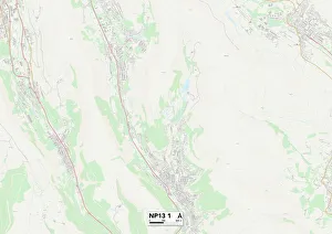
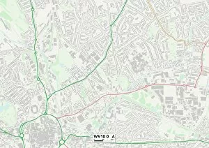
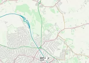
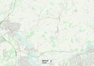
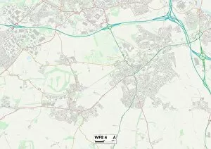
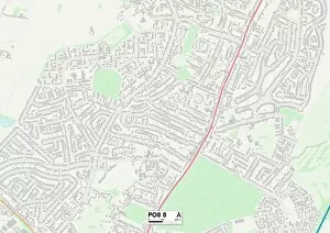
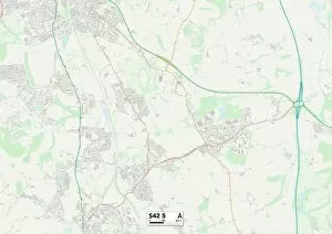
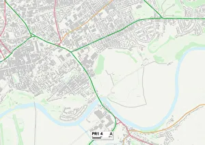
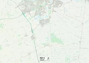
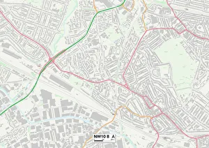
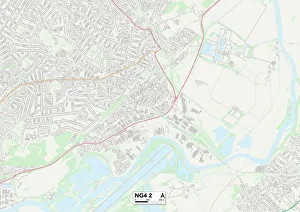
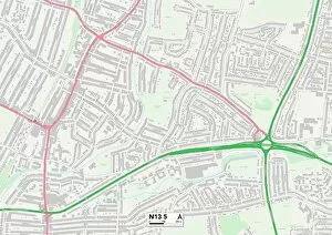
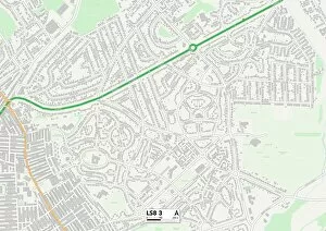
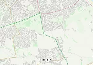
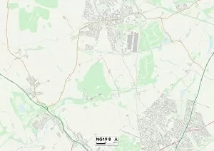
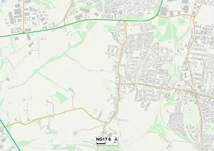
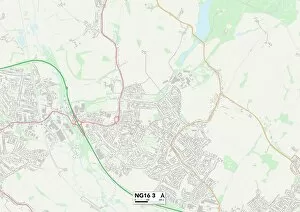
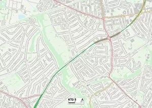
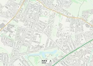
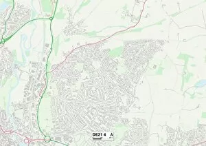
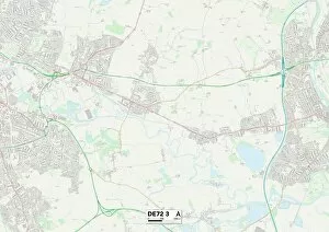
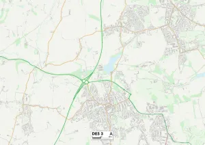
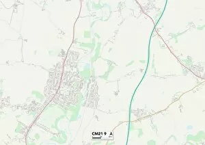
Lawrence Avenue is a road that stretches across various locations in the United Kingdom, connecting different towns and cities. From Blaenau Gwent to Preston, this avenue weaves through diverse landscapes and communities. Starting in Blaenau Gwent NP13 1, Lawrence Avenue sets off on its journey, passing through Wolverhampton WV11 3 and WV10 0. These areas are known for their vibrant energy and bustling streets. The maps reveal a network of roads intersecting with Lawrence Avenue, indicating the connectivity it provides to these neighborhoods. Continuing on its path, Lawrence Avenue reaches Barnet NW7 4 in Hertfordshire. Here, the atmosphere changes as it enters a more suburban setting. Residents enjoy peaceful surroundings while still benefiting from easy access to nearby amenities. As Lawrence Avenue moves further eastward into East Hertfordshire SG12 8 and Stevenage SG1 3, it becomes evident how this road connects urban centers with quieter residential areas. The map shows how Lawrence Avenue intersects with other major routes, facilitating convenient travel throughout the region. North Hertfordshire SG6 2 welcomes travelers along Lawrence Avenue next. This area boasts picturesque landscapes dotted with charming villages and historic landmarks. It's an ideal spot for those seeking tranquility amidst nature's beauty. Further along the route lies Wakefield WF8 4 in West Yorkshire—a town steeped in history and culture. As indicated by the map reference point, residents here benefit from being connected to larger cities while enjoying a close-knit community feel. Heading southwards towards Hampshire PO8 8 brings us closer to coastal delights where breathtaking scenery awaits at every turn. This part offers glimpses of stunning seascapes alongside quaint villages that exude charm. Chesterfield S42 5 marks another significant stop along this avenue's journey—an area renowned for its rich industrial heritage blended seamlessly with modern developments.