
Lower Green Collection
Discover the serene beauty of Lower Green, a hidden gem nestled within various regions across the UK


All Professionally Made to Order for Quick Shipping
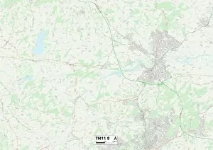
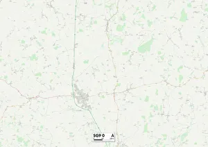
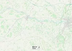
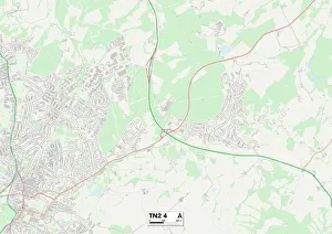
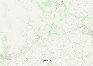
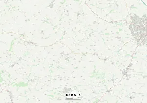
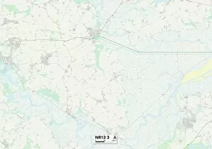
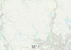
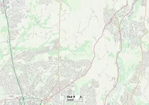
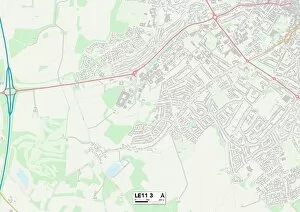
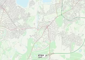
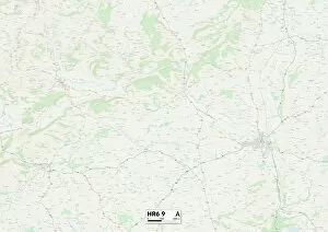
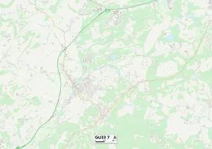
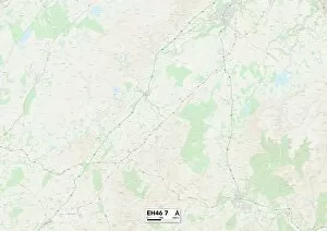
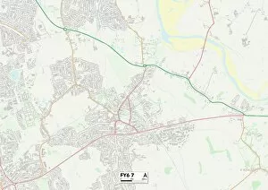
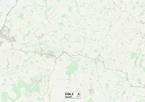
Discover the serene beauty of Lower Green, a hidden gem nestled within various regions across the UK. Part of the Refectory, this picturesque location invites you to immerse yourself in its tranquil surroundings. With pencil and watercolor on paper, capture the essence of Lower Green's enchanting landscapes. Located in Wolverhampton WV6 9 Map, it offers a peaceful retreat away from bustling city life. The North Hertfordshire SG5 3 Map and East Hertfordshire SG9 0 Map regions also boast their own versions of this idyllic spot, providing residents with a slice of natural paradise. Venture further south to Berkshire RG17 9 Map where Lower Green awaits with its captivating allure. In Sevenoaks TN11 8 Map and Tunbridge Wells TN4 8 & TN2 4 Maps areas, discover pockets of tranquility amidst busy urban centers. For those seeking solace by the sea, South Hams TQ10 9 Map presents an opportunity to unwind while cherishing breathtaking coastal views. Cherwell OX15 5 Map region offers another haven for nature enthusiasts looking to escape into lush greenery. Lower Green extends its charm even to Norfolk NR13 3 Map area where visitors can revel in its unspoiled beauty. Lastly, Rochdale OL12 7 map showcases yet another corner adorned by Lower Green's scenic splendor. Whether you're an artist seeking inspiration or simply yearning for a momentary escape from everyday life, make your way to one of these locations marked by Lower Green's presence. Allow yourself to be captivated by the serenity that surrounds you as you explore these hidden treasures scattered across different parts of the UK.