
Map Of London Collection
Discover the rich history of London through these vintage maps


All Professionally Made to Order for Quick Shipping
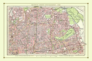
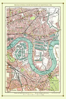
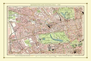
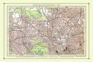
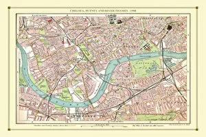
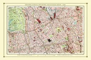
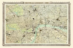
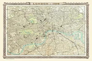
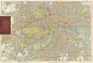
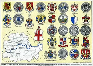
Discover the rich history of London through these vintage maps. 🗺️🏛️ From the Old Street Map of Bethnal Green and Hackney in 1908 to the intricate details of The Isle of Dogs and River Thames at Greenwich, these maps offer a glimpse into London's past. 🌆✨ Explore Hamstead, Holloway, and Islington as they were depicted in 1908 or wander through The Strand, West End, and River Thames with a map from the same year. 🚶♀️🌉 Step back even further with an old map dating back to 1851 by John Tallis for a truly nostalgic experience. Marvel at Chelsea, Putney, and River Thames in all their glory or navigate Oxford Street, Holborn, and Euston Road using a street map from 1908. ⭐ Dive into Woolwich and Thames Docklands' historical charm or get lost in Central London's streets with an antique map from 1898 courtesy of Bartholomew's Royal Atlas. Kensington and Notting Hill come alive on another vintage street map while Thomas Moule's Environs of London showcases how the city expanded beyond its core boundaries in 1836. Immerse yourself in London's vibrant past with these captivating cartographic treasures.