
Mill Lane Collection (page 6)
Step into the enchanting Mill Lane, a hidden gem nestled near Halnaker village in West Sussex, England


All Professionally Made to Order for Quick Shipping
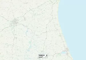
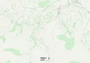
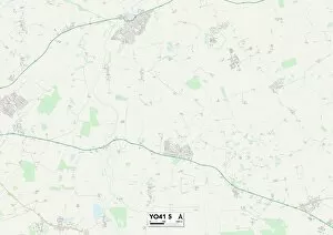
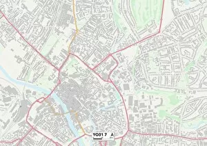
Step into the enchanting Mill Lane, a hidden gem nestled near Halnaker village in West Sussex, England. As you stroll through this picturesque pathway, you'll find yourself surrounded by a breathtaking tunnel of trees that creates a magical atmosphere. Follow the lane as it leads you to the iconic Halnaker Windmill, standing tall against the horizon. Meanwhile, across the border in Cardiff, Wales, on Thursday 12th August 1971, Mill Lane Fruit Market buzzes with activity. The air is filled with the sweet aroma of fresh fruits and vibrant colors adorn every stall. Locals gather here to indulge in nature's bountiful harvest and savor delicious flavors. Venturing further across Britain's diverse landscapes brings us to South Hams TQ7 2 Map where Mill Lane weaves its way through charming countryside scenery. In East Riding of Yorkshire YO43 4 Map or Mole Valley RH5 5 Map alike, this timeless name connects communities and serves as a gateway to exploration. From Aylesbury Vale MK18 4 Map to Melton LE14 2 Map and Wyre Forest DY11 6 Map to Cheshire East SK10 4 Map; each location holds its own unique charm along Mill Lane's path. Whether it be rolling hills or quaint villages dotted along your journey – there is always something new waiting around every bend. In Shropshire TF9 2 Map and North Dorset SP8 5 Map lies tranquility at its finest. Here amidst nature's embrace lies Mill Lane – an escape from bustling city life where peace reigns supreme. Take a moment for reflection as you meander down these serene lanes; let your worries melt away with each step. Finally arriving at Stockport SK5 6 map unveils yet another facet of Mill Lane's versatility - an urban landscape blending seamlessly with nature’s touch. Amidst busy streets and modern architecture, this lane provides a tranquil respite for those seeking solace.