Fraud Blocker Skip to main content

Milton Road Collection (#3)

"Milton Road: A Journey Through Time and Community" Step back in time to the early 20th century, where Milton Road stood as a bustling hub of activity

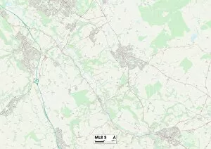
Background imageMilton Road Collection: South Lanarkshire ML8 5 Map

South Lanarkshire ML8 5 Map
Postcode Sector Map of South Lanarkshire ML8 5

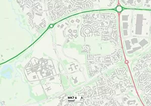
Background imageMilton Road Collection: Milton Keynes MK7 6 Map

Milton Keynes MK7 6 Map
Postcode Sector Map of Milton Keynes MK7 6

Background imageMilton Road Collection: Milton Keynes MK10 9 Map

Milton Keynes MK10 9 Map
Postcode Sector Map of Milton Keynes MK10 9

Background imageMilton Road Collection: Newark and Sherwood NG22 0 Map

Newark and Sherwood NG22 0 Map
Postcode Sector Map of Newark and Sherwood NG22 0

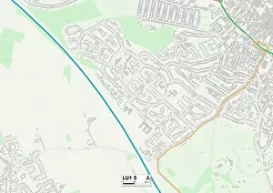
Background imageMilton Road Collection: Luton LU1 5 Map

Luton LU1 5 Map
Postcode Sector Map of Luton LU1 5

Background imageMilton Road Collection: Tameside M34 5 Map

Tameside M34 5 Map
Postcode Sector Map of Tameside M34 5

Background imageMilton Road Collection: Trafford M32 0 Map

Trafford M32 0 Map
Postcode Sector Map of Trafford M32 0

Background imageMilton Road Collection: Liverpool L7 9 Map

Liverpool L7 9 Map
Postcode Sector Map of Liverpool L7 9

Background imageMilton Road Collection: Fife KY10 2 Map

Fife KY10 2 Map
Postcode Sector Map of Fife KY10 2

Background imageMilton Road Collection: Runnymede KT15 1 Map

Runnymede KT15 1 Map
Postcode Sector Map of Runnymede KT15 1

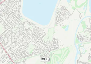
Background imageMilton Road Collection: Elmbridge KT12 3 Map

Elmbridge KT12 3 Map
Postcode Sector Map of Elmbridge KT12 3

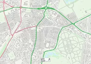
Background imageMilton Road Collection: Liverpool L4 5 Map

Liverpool L4 5 Map
Postcode Sector Map of Liverpool L4 5

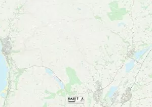
Background imageMilton Road Collection: North Ayrshire KA25 7 Map

North Ayrshire KA25 7 Map
Postcode Sector Map of North Ayrshire KA25 7

Background imageMilton Road Collection: Sefton L22 4 Map

Sefton L22 4 Map
Postcode Sector Map of Sefton L22 4

Background imageMilton Road Collection: Aylesbury Vale HP21 9 Map

Aylesbury Vale HP21 9 Map
Postcode Sector Map of Aylesbury Vale HP21 9

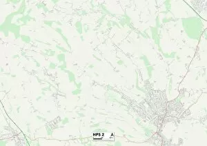
Background imageMilton Road Collection: Chiltern HP5 2 Map

Chiltern HP5 2 Map
Postcode Sector Map of Chiltern HP5 2

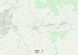
Background imageMilton Road Collection: East Ayrshire KA4 8 Map

East Ayrshire KA4 8 Map
Postcode Sector Map of East Ayrshire KA4 8

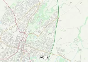
Background imageMilton Road Collection: East Ayrshire KA3 7 Map

East Ayrshire KA3 7 Map
Postcode Sector Map of East Ayrshire KA3 7

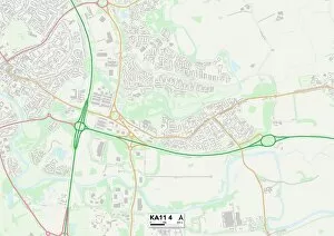
Background imageMilton Road Collection: North Ayrshire KA11 4 Map

North Ayrshire KA11 4 Map
Postcode Sector Map of North Ayrshire KA11 4

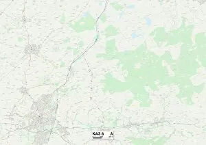
Background imageMilton Road Collection: East Ayrshire KA3 6 Map

East Ayrshire KA3 6 Map
Postcode Sector Map of East Ayrshire KA3 6

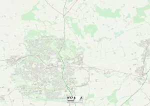
Background imageMilton Road Collection: Fife KY7 6 Map

Fife KY7 6 Map
Postcode Sector Map of Fife KY7 6

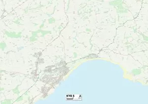
Background imageMilton Road Collection: Fife KY8 5 Map

Fife KY8 5 Map
Postcode Sector Map of Fife KY8 5

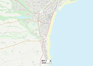
Background imageMilton Road Collection: Fife KY1 1 Map

Fife KY1 1 Map
Postcode Sector Map of Fife KY1 1

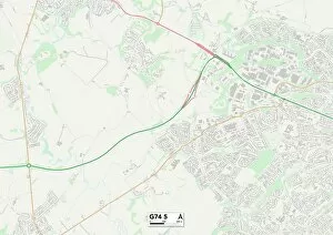
Background imageMilton Road Collection: South Lanarkshire G74 5 Map

South Lanarkshire G74 5 Map
Postcode Sector Map of South Lanarkshire G74 5

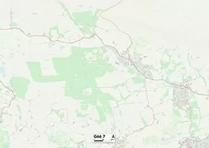
Background imageMilton Road Collection: East Dunbartonshire G66 7 Map

East Dunbartonshire G66 7 Map
Postcode Sector Map of East Dunbartonshire G66 7

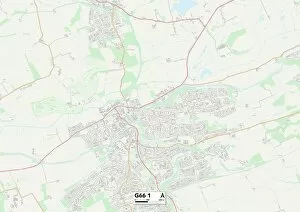
Background imageMilton Road Collection: East Dunbartonshire G66 1 Map

East Dunbartonshire G66 1 Map
Postcode Sector Map of East Dunbartonshire G66 1

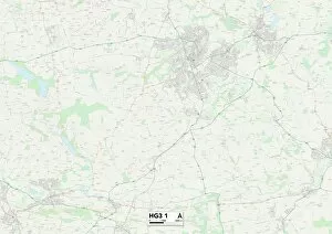
Background imageMilton Road Collection: Harrogate HG3 1 Map

Harrogate HG3 1 Map
Postcode Sector Map of Harrogate HG3 1

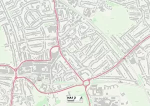
Background imageMilton Road Collection: Harrow HA1 2 Map

Harrow HA1 2 Map
Postcode Sector Map of Harrow HA1 2

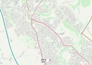
Background imageMilton Road Collection: Falkirk FK7 0 Map

Falkirk FK7 0 Map
Postcode Sector Map of Falkirk FK7 0

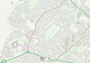
Background imageMilton Road Collection: Tewkesbury GL51 7 Map

Tewkesbury GL51 7 Map
Postcode Sector Map of Tewkesbury GL51 7

Background imageMilton Road Collection: Waltham Forest E17 4 Map

Waltham Forest E17 4 Map
Postcode Sector Map of Waltham Forest E17 4

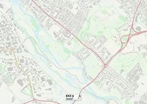
Background imageMilton Road Collection: Exeter EX2 6 Map

Exeter EX2 6 Map
Postcode Sector Map of Exeter EX2 6

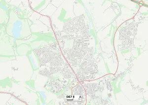
Background imageMilton Road Collection: Erewash DE7 8 Map

Erewash DE7 8 Map
Postcode Sector Map of Erewash DE7 8

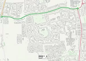
Background imageMilton Road Collection: North East Lincolnshire DN33 1 Map

North East Lincolnshire DN33 1 Map
Postcode Sector Map of North East Lincolnshire DN33 1

Background imageMilton Road Collection: West Lindsey DN21 1 Map

West Lindsey DN21 1 Map
Postcode Sector Map of West Lindsey DN21 1

Background imageMilton Road Collection: North Lincolnshire DN16 3 Map

North Lincolnshire DN16 3 Map
Postcode Sector Map of North Lincolnshire DN16 3

Background imageMilton Road Collection: South Derbyshire DE65 6 Map

South Derbyshire DE65 6 Map
Postcode Sector Map of South Derbyshire DE65 6

Background imageMilton Road Collection: Weymouth and Portland DT4 0 Map

Weymouth and Portland DT4 0 Map
Postcode Sector Map of Weymouth and Portland DT4 0

Background imageMilton Road Collection: Stratford-on-Avon CV37 7 Map

Stratford-on-Avon CV37 7 Map
Postcode Sector Map of Stratford-on-Avon CV37 7

Background imageMilton Road Collection: Croydon CR0 2 Map

Croydon CR0 2 Map
Postcode Sector Map of Croydon CR0 2

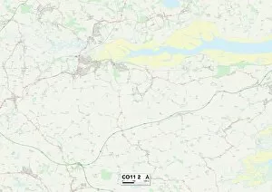
Background imageMilton Road Collection: Tendring CO11 2 Map

Tendring CO11 2 Map
Postcode Sector Map of Tendring CO11 2

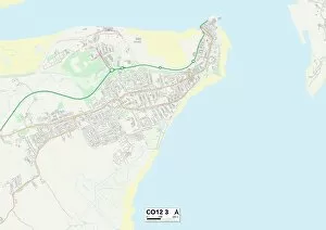
Background imageMilton Road Collection: Tendring CO12 3 Map

Tendring CO12 3 Map
Postcode Sector Map of Tendring CO12 3

Background imageMilton Road Collection: Gravesham DA12 2 Map

Gravesham DA12 2 Map
Postcode Sector Map of Gravesham DA12 2

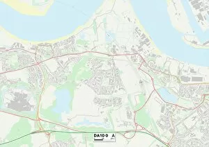
Background imageMilton Road Collection: Dartford DA10 0 Map

Dartford DA10 0 Map
Postcode Sector Map of Dartford DA10 0

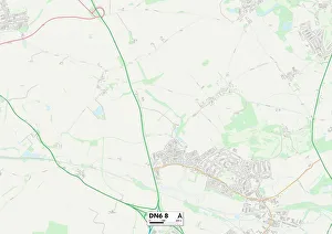
Background imageMilton Road Collection: Doncaster DN6 8 Map

Doncaster DN6 8 Map
Postcode Sector Map of Doncaster DN6 8

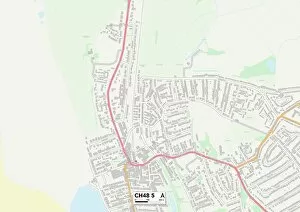
Background imageMilton Road Collection: Wirral CH48 5 Map

Wirral CH48 5 Map
Postcode Sector Map of Wirral CH48 5

Background imageMilton Road Collection: Wirral CH44 7 Map

Wirral CH44 7 Map
Postcode Sector Map of Wirral CH44 7

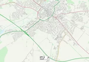
Background imageMilton Road Collection: Kent CT1 3 Map

Kent CT1 3 Map
Postcode Sector Map of Kent CT1 3


All Professionally Made to Order for Quick Shipping

"Milton Road: A Journey Through Time and Community" Step back in time to the early 20th century, where Milton Road stood as a bustling hub of activity. This captivating image from c1910 showcases the essence of this vibrant street, with its Medical Fund Hairdressing Room serving as a testament to the care and well-being of its residents. Located in Halton WA8 7 on the map, Milton Road was not just a mere address but an emblem of unity and camaraderie. It connected various towns and cities across England, each marked by their own unique maps - Brentwood CM14 5, Wolverhampton WV11 1, Wigan WA3 2, Thurrock SS17 8, Wiltshire SP4 7, Barnet NW7 4, East Northamptonshire PE8 4, Daventry NN11 9, Medway ME7 5, and Aylesbury Vale HP22. As you traverse through these diverse locations on your virtual journey along Milton Road's historical path, you'll discover more than just geographical boundaries. Each map represents a community that thrived within its own distinct culture and traditions. From Halton's close-knit neighborhood spirit to Wolverhampton's industrial prowess; from Wigan's proud heritage to Thurrock's scenic landscapes; from Wiltshire's idyllic countryside charm to Barnet's cosmopolitan vibe - every stop along this road tells a different story. Milton Road served as a lifeline for countless individuals who relied on it for their daily needs. Whether it was accessing medical assistance at the nearby clinic or getting pampered at the hairdressing room after a long day’s work – this street catered to all walks of life. The significance extended beyond physical location; it symbolized resilience and adaptability. The ever-changing landscape mirrored society’s evolution over time.