
Moorfield Road Collection
Welcome to Moorfield Road, a diverse and vibrant street that stretches across various regions of the United Kingdom


All Professionally Made to Order for Quick Shipping
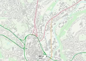
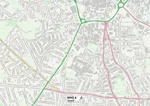
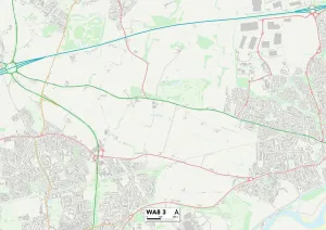
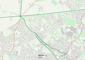
Welcome to Moorfield Road, a diverse and vibrant street that stretches across various regions of the United Kingdom. From Salford's M44 6 Map to Kirklees' HD1 6 Map, this road connects communities and offers a glimpse into the rich tapestry of British life. As you venture further down Moorfield Road, you'll find yourself in Wolverhampton's WV2 4 Map, where history intertwines with modernity. The bustling streets are filled with shops, cafes, and friendly faces eager to share their stories. Continuing your journey eastward will lead you to East Riding of Yorkshire's YO16 4 Map. Here, the picturesque landscapes captivate visitors as they explore charming villages nestled amidst rolling hillsides. Heading southwest brings us to Cornwall's TR15 3 Map - a coastal paradise where sandy beaches meet rugged cliffs. The sound of crashing waves provides a soothing soundtrack as locals and tourists alike enjoy leisurely strolls along the shore. Further south lies South Buckinghamshire's UB9 5 Map - an area known for its leafy suburbs and tranquil atmosphere. Residents here relish in the peace and quiet while still being within reach of London's vibrant energy. Crossing over into Hillingdon at UB8 3 Map reveals an eclectic mix of cultures thriving side by side. This melting pot creates a unique blend of traditions that can be seen in local festivals, cuisine, and community events. Venturing northwards takes us through Halton at WA8 3 Map - an industrial hub brimming with innovation and opportunity. As factories hum with activity, residents take pride in their hard work ethic that has shaped this region for generations. A short drive away lies St. Helens at WA10 6 map – a town steeped in sporting heritage where rugby league reigns supreme. The passion for sports is palpable as fans gather on match days to cheer on their beloved teams.