Fraud Blocker Skip to main content

Navigational Collection (page 5)

"Discovering the Path: Navigational Wonders Across Time and Space" Embark on a journey through time and explore the fascinating world of navigation

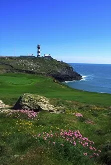
Background imageNavigational Collection: Old Head Of Kinsale, Kinsale, County Cork, Ireland; Road To Lighthouse

Old Head Of Kinsale, Kinsale, County Cork, Ireland; Road To Lighthouse

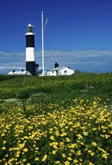
Background imageNavigational Collection: Mew Island, Belfast Lough, County Down, Ireland; Lighthouse At Dusk

Mew Island, Belfast Lough, County Down, Ireland; Lighthouse At Dusk

Background imageNavigational Collection: Hook Head, County Wexford, Ireland; Lighthouse

Hook Head, County Wexford, Ireland; Lighthouse

Background imageNavigational Collection: Mew Island, County Down, Ireland; Lighthouse

Mew Island, County Down, Ireland; Lighthouse

Background imageNavigational Collection: Fastnet Rock, County Cork, Ireland; Lighthouse Exterior

Fastnet Rock, County Cork, Ireland; Lighthouse Exterior

Background imageNavigational Collection: Pemaquid Point Lighthouse, Bristol, Maine, Usa

Pemaquid Point Lighthouse, Bristol, Maine, Usa

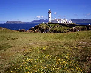
Background imageNavigational Collection: Fanad Lighthouse, Fanad, County Donegal Ireland

Fanad Lighthouse, Fanad, County Donegal Ireland

Background imageNavigational Collection: Hook Lighthouse, Hook Peninsula, County Wexford, Ireland

Hook Lighthouse, Hook Peninsula, County Wexford, Ireland

Background imageNavigational Collection: Baily Lighthouse, Howth, Co Dublin, Ireland

Baily Lighthouse, Howth, Co Dublin, Ireland

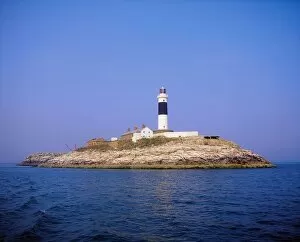
Background imageNavigational Collection: Rockabill, Off Skerries, Co Dublin, Ireland, Rockabill Lighthouse

Rockabill, Off Skerries, Co Dublin, Ireland, Rockabill Lighthouse

Background imageNavigational Collection: Fanad Lighthouse, Co Donegal, Ireland

Fanad Lighthouse, Co Donegal, Ireland

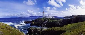
Background imageNavigational Collection: Fanad Lighthouse, Fanad Head, Co. Donegal, Ireland
Fanad Lighthouse, Fanad Head, Co. Donegal, Ireland

Background imageNavigational Collection: Waves Breaking On The Coast With A Light House In Background, Fanad Head, County Donegal

Waves Breaking On The Coast With A Light House In Background, Fanad Head, County Donegal, Republic Of Ireland

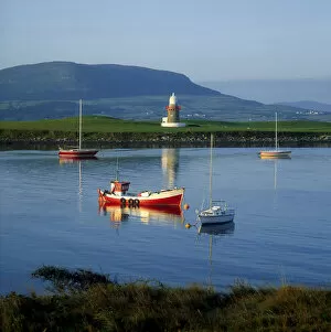
Background imageNavigational Collection: Oyster Island Lighthouse, Oyster Island, County Sligo, Ireland

Oyster Island Lighthouse, Oyster Island, County Sligo, Ireland

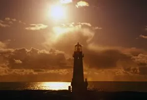
Background imageNavigational Collection: Sunset At Yaquina Head Lighthouse, Oregon, United States Of America

Sunset At Yaquina Head Lighthouse, Oregon, United States Of America

Background imageNavigational Collection: Point Wilson Lighthouse

Point Wilson Lighthouse

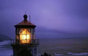
Background imageNavigational Collection: Lighthouse At Heceta Head, Oregon, Usa

Lighthouse At Heceta Head, Oregon, Usa

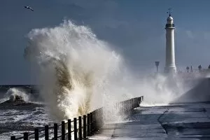
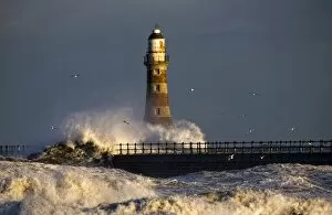
Background imageNavigational Collection: Waves Crashing By Lighthouse At Sunderland, Tyne And Wear, England, United Kindgom

Waves Crashing By Lighthouse At Sunderland, Tyne And Wear, England, United Kindgom

Background imageNavigational Collection: Lighthouse And Waves, Sunderland, Tyne And Wear, England

Lighthouse And Waves, Sunderland, Tyne And Wear, England

Background imageNavigational Collection: Old Head Of Kinsale Lighthouse, Kinsale, Co Cork, Ireland

Old Head Of Kinsale Lighthouse, Kinsale, Co Cork, Ireland

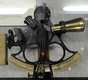
Background imageNavigational Collection: Marine Sextant. Early 20th century

Marine Sextant. Early 20th century. Museum of History and Navigation. Riga. Latvia

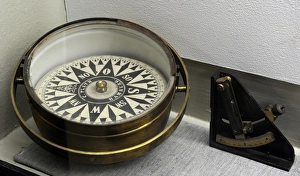
Background imageNavigational Collection: A compass rose. 18th century

A compass rose. 18th century
A compass rose. Used to display the orientation of the cardinal directions: North, East, South and West. 18th century. Museum of History and Navigation. Riga. Latvia

Background imageNavigational Collection: Old navigational instruments. Compass and sextant. 19th-20th

Old navigational instruments. Compass and sextant. 19th-20th
Old navigational instruments. Compass and sextant. 19th-20 th centuries. Museum of History and Navigation. Riga. Latvia

Background imageNavigational Collection: Signalisation - signals

Signalisation - signals
Navigational signals, road and train signs. Date: 1930

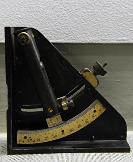
Background imageNavigational Collection: Navigational instrument. 20th century. Museum of History

Navigational instrument. 20th century. Museum of History and Navigation. Riga. Latvia

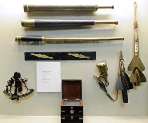
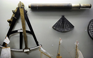
Background imageNavigational Collection: Vintage telescope, sextant and quadrant. 18th century

Vintage telescope, sextant and quadrant. 18th century
Old navigational instruments. Vintage telescope, sextant and quadrant. 18th century. Museum of History and Navigation. Riga. Latvia

Background imageNavigational Collection: Old navigational instruments. Sextant. 19th-20th centuries

Old navigational instruments. Sextant. 19th-20th centuries
Old navigational instruments. Sextant. 19th-20 th centuries. Museum of History and Navigation. Riga. Latvia

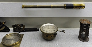
Background imageNavigational Collection: Old navigational instruments. Vintage telescope, compass, ho

Old navigational instruments. Vintage telescope, compass, hourglass. 19th -20th centuries. Museum of History and Navigation. Riga. Latvia

Background imageNavigational Collection: Marine Sextant. 19th century

Marine Sextant. 19th century. Museum of History and Navigation. Riga. Latvia

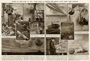
Background imageNavigational Collection: Use of radar in the war at sea by G. H. Davis

Use of radar in the war at sea by G. H. Davis
Radar in the war at sea: some ways in which the Royal Navy used this weapon during the Second World War. Date: 1945

Background imageNavigational Collection: Allegory of the Barberini Family, print made by Karl Audran c. 1623-40 (engraving)

Allegory of the Barberini Family, print made by Karl Audran c. 1623-40 (engraving)
XJF498326 Allegory of the Barberini Family, print made by Karl Audran c.1623-40 (engraving) by Cortona, Pietro da (1596-1659) (after); Private Collection; (add.info)

Background imageNavigational Collection: Navigation, from The Gentlemans Recreation published by Richard Blome

Navigation, from The Gentlemans Recreation published by Richard Blome
XJF483360 Navigation, from The Gentlemans Recreation published by Richard Blome, 1686 (engraving) by English School, (17th century); Private Collection; (add.info)

Background imageNavigational Collection: Albert Tissandier (left), Gaston Tissandier (right), and an unidentified man in the

Albert Tissandier (left), Gaston Tissandier (right), and an unidentified man in the basket of their airship demonstrating an electric navigational system featuring a propeller by P. Ferat, E.A

Background imageNavigational Collection: The sun and the stars guiding the sailors on their way, from the Atlas Maior

The sun and the stars guiding the sailors on their way, from the Atlas Maior
XOT366576 The sun and the stars guiding the sailors on their way, from the Atlas Maior, Sive Cosmographia Blaviana, 1662 (coloured engraving) by Blaeu

Background imageNavigational Collection: litho de Berdalle. Head-and-shoulders portrait of Francois Chaussier, who conducted

litho de Berdalle. Head-and-shoulders portrait of Francois Chaussier, who conducted some of the first experiments to develop navigational systems for balloons

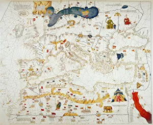
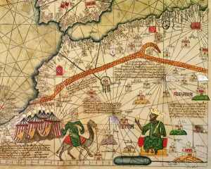
Background imageNavigational Collection: Copy of Catalan Map of Europe, North Africa and the Middle East (hand-coloured engraving)

Copy of Catalan Map of Europe, North Africa and the Middle East (hand-coloured engraving)
XCF307352 Copy of Catalan Map of Europe, North Africa and the Middle East (hand-coloured engraving) by Cresques, Abraham (1325-87) (after); Private Collection; French, out of copyright

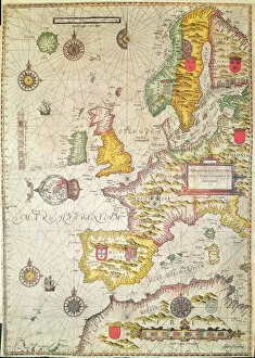
Background imageNavigational Collection: A Generall carde, and description of the sea coastes of Europe, and navigation in

A Generall carde, and description of the sea coastes of Europe, and navigation in
XCF306029 A Generall carde, and description of the sea coastes of Europe, and navigation in this book conteyned (hand coloured engraving) by Hondius, Jodocus (1567-1611); Private Collection; Dutch

Background imageNavigational Collection: Detail of Copy of a Catalan Map of Europe and North Africa, presented to Charles

Detail of Copy of a Catalan Map of Europe and North Africa, presented to Charles
XCF291064 Detail of Copy of a Catalan Map of Europe and North Africa, presented to Charles V of France in 1381 (vellum) by Cresques, Abraham (1325-87) (after); British Museum, London

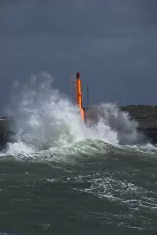
Background imageNavigational Collection: Strong waves with spray in a storm at the pier of Hvide Sande, Jutland, Denmark, Europe

Strong waves with spray in a storm at the pier of Hvide Sande, Jutland, Denmark, Europe

Background imageNavigational Collection: Faro de Chipiona, tallest lighthouse in Spain and one of the tallest worldwide, 69 metres

Faro de Chipiona, tallest lighthouse in Spain and one of the tallest worldwide, 69 metres, Andalucia, Spain, Europe

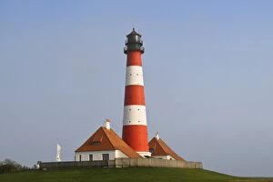
Background imageNavigational Collection: Lighthouse of Westerhever in winter, St. Peter-Ording, Eiderstedt Peninsula

Lighthouse of Westerhever in winter, St. Peter-Ording, Eiderstedt Peninsula, district of Nordfriesland, Schleswig-Holstein, Germany, Europe

Background imageNavigational Collection: Lighthouse of Westerhever, St. Peter-Ording, Eiderstedt Peninsula, district of Nordfriesland

Lighthouse of Westerhever, St. Peter-Ording, Eiderstedt Peninsula, district of Nordfriesland, Schleswig-Holstein, Germany, Europe

Background imageNavigational Collection: Harbour entrance of Lindau on Lake Constance with the old lighthouse and the Bavarian lion statue

Harbour entrance of Lindau on Lake Constance with the old lighthouse and the Bavarian lion statue, Bavaria, Germany, Europe

Background imageNavigational Collection: St. Johna's, Newfoundland, Canada, a lobster boat sails by historic Fort Amherst

St. Johna's, Newfoundland, Canada, a lobster boat sails by historic Fort Amherst
St. John s, Newfoundland, Canada, a lobster boat sails by historic Fort Amherst between the Narrows into St. Johns Harbor

Background imageNavigational Collection: Former navigation beacon at coast, near causeway to Roa Island, Rampside Lighthouse, Rampside

Former navigation beacon at coast, near causeway to Roa Island, Rampside Lighthouse, Rampside, Furness Peninsula, Barrow-in-Furness, Cumbria, England, July

Background imageNavigational Collection: Boeing RB-50B 47-134 later modified to RB-50F

Boeing RB-50B 47-134 later modified to RB-50F
Boeing RB-50B, 47-134, later modified to RB-50F standard with the addition of SHORAN navigational radar for special missions

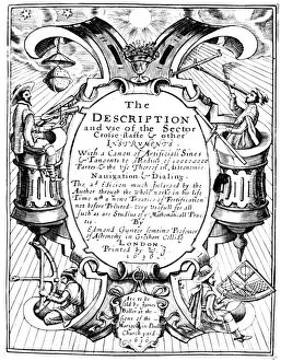
Background imageNavigational Collection: Title page of Edmund Gunter (1581-1626) The Description and Use of the Sector, London

Title page of Edmund Gunter (1581-1626) The Description and Use of the Sector, London, 1636 (1st edition 1626). This shows mariners holding various navigational instruments

Background imageNavigational Collection: Albert Tissandier (left)

Albert Tissandier (left), Gaston Tissandier (right), And An Unidentified Man In The Basket Of Their Airship Demonstrating An Electric Navigational System Featuring A Propeller By P. Ferat, E.a


All Professionally Made to Order for Quick Shipping

"Discovering the Path: Navigational Wonders Across Time and Space" Embark on a journey through time and explore the fascinating world of navigation. From Perch Rock Lighthouse to New Brighton Lighthouse, these beacons have guided countless sailors home. Travel back to the 17th century as you unravel the mysteries of nautical maps depicting the vast Atlantic. Marvel at their intricate details, showcasing early attempts to navigate treacherous waters. In Canada's Newfoundland, St. John's Inukshuk stands tall, mimicking human form and serving as a navigational aid for generations of travelers braving harsh terrains. Witness its silent guidance amidst rugged landscapes. Trace back to Ancient China where the compass was born—a revolutionary invention that transformed seafaring forever. Imagine sailors relying on this magnetic marvel to chart their course across uncharted waters. As dusk settles over Sunderland, England, witness a breathtaking sight—the row of houses illuminated by sunset with Roker Pier Lighthouse standing proudly in the distance. A picturesque scene blending natural beauty with navigational prowess. Step into aviation history with Boeing T-43A aircraft—an icon in aerial navigation training. These mighty machines honed pilots' skills and ensured safe journeys through skies filled with uncertainty. Delve into Captain John Treasure Jones Archive and discover his trusty sextant—a tool that enabled accurate celestial navigation during perilous voyages across vast oceans. An invaluable artifact preserving maritime heritage. Uncover stories behind Boeing CT-43A aircraft like 72-0288 or 71-1404—guardians of modern air travel equipped with advanced navigational systems ensuring seamless flights worldwide. Join us on this captivating voyage where lighthouses guide lost souls home, ancient tools shape our understanding of exploration, and cutting-edge technology propels us towards new horizons—navigating through time itself.