
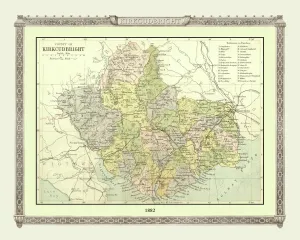
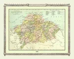
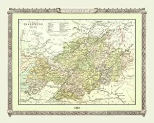
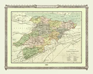
Old County Map Collection
Step back in time with these stunning old county maps. Explore the intricate details and historical significance of each region as you journey through centuries past


All Professionally Made to Order for Quick Shipping
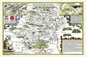
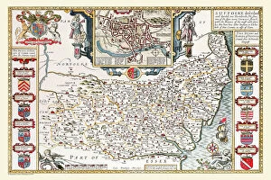
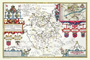
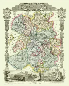
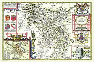
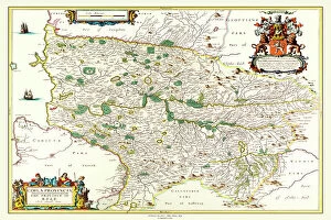
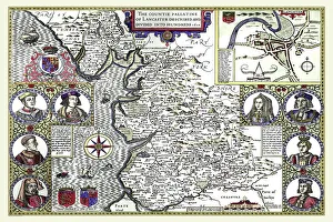
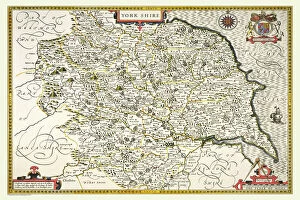
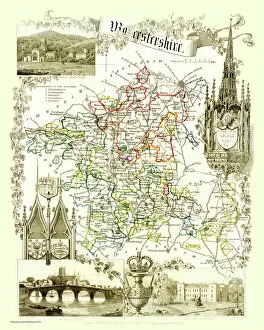
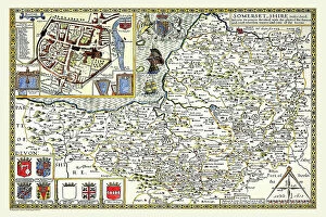
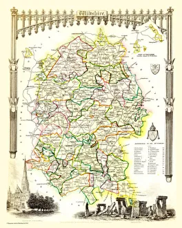
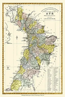
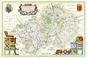
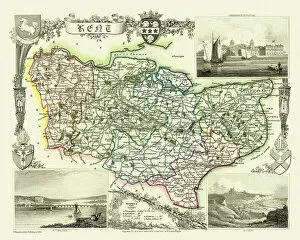
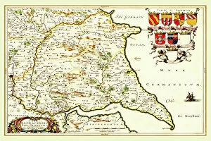
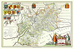
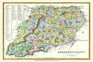
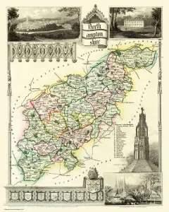
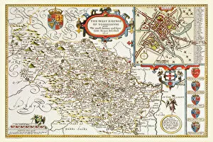
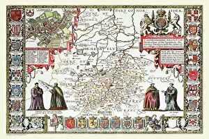
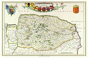
Step back in time with these stunning old county maps. Explore the intricate details and historical significance of each region as you journey through centuries past. The Old County Map of Fife 1654 by Johan Blaeu from the Atlas Novus takes us on a voyage to this Scottish gem, showcasing its rich heritage and captivating landscapes. Immerse yourself in the history that shaped this enchanting county. Travel further south to Hertfordshire with the Old County Map of Hertfordshire 1611 by John Speed. Uncover hidden gems within this picturesque county, where ancient villages and sprawling countryside await your discovery. Delve into Worcestershire's past with the Old County Map of Worcestershire 1836 by Thomas Moule. Witness how time has transformed this land, yet still preserved its timeless beauty and charm. John Speed returns once more with his masterpiece, the Old County Map of Cornwall 1611. Lose yourself amidst rugged coastlines, quaint fishing villages, and tales of pirates that echo through its history. Shropshire beckons with its own story etched upon the Old County Map of Shropshire 1836 by Thomas Moule. Traverse rolling hillsides dotted with medieval castles and immerse yourself in a world steeped in legend. Journey now to Kyle and Mid Ayrshire through Johan Blaeu's eyes in his map from the Atlas Novus dating back to 1654. Discover an area brimming with natural wonders, including lochs, glens, and historic sites waiting for your exploration. Experience Lancashire's vibrant past through John Speed's lens in his renowned Old County Map of Lancashire 1611. From bustling cities like Manchester to serene coastal towns like Blackpool, every corner holds stories untold. Yorkshire awaits your arrival on John Speed's iconic map from 1611.