Fraud Blocker Skip to main content

Old Map Collection

"Unveiling the Rich Tapestry of History: Exploring Old Maps from Around the World" Step back in time to 1768 with the James Craig Map of New Town, Edinburgh

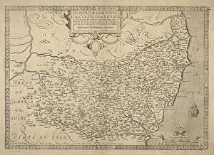
Background imageOld Map Collection: County of Suffolk by Christopher Saxton, c. 1569. Reprint dated c. 1650

County of Suffolk by Christopher Saxton, c. 1569. Reprint dated c. 1650
SVFFOLCIAE COMITATVS ACC VRATA DESCRIPTIO, VNA CVM SINGVLIS HVNDREDIS ET FLVMINIBUS ET EODEM. Auctore Chriftophoro Saxton [c.1569] Printed and sould by P

Background imageOld Map Collection: 1768, James Craig Map of New Town, Edinburgh, Scotland, First Plan of New Town, topography

1768, James Craig Map of New Town, Edinburgh, Scotland, First Plan of New Town, topography
1768, James Craig Map of New Town, Edinburgh, Scotland, First Plan of New Town

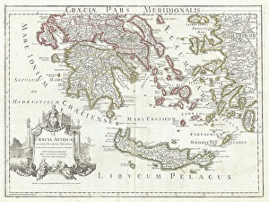
Background imageOld Map Collection: 1794, Delisle Map of Southern Ancient Greece, Greeks Isles, and Crete, topography

1794, Delisle Map of Southern Ancient Greece, Greeks Isles, and Crete, topography
1794, Delisle Map of Southern Ancient Greece, Greeks Isles, and Crete

Background imageOld Map Collection: 1886, Telescopic View and Map of the Moon, topography, cartography, geography, land

1886, Telescopic View and Map of the Moon, topography, cartography, geography, land
1886, Telescopic View and Map of the Moon

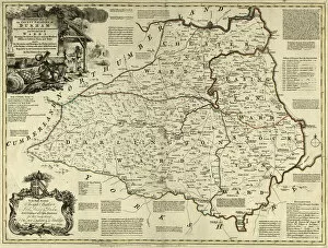
Background imageOld Map Collection: County Map of County Durham, c. 1777

County Map of County Durham, c. 1777
From The Large English Atlas: or, a new set of map of all the counties of England and Wales drawn from the several surveys which have been hitherto been published

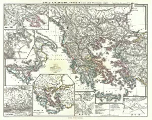
Background imageOld Map Collection: 1865, Spruner Map of Greece, Macedonia and Thrace before the Peloponnesian War. topography

1865, Spruner Map of Greece, Macedonia and Thrace before the Peloponnesian War. topography
1865, Spruner Map of Greece, Macedonia and Thrace before the Peloponnesian War

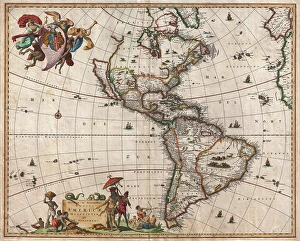
Background imageOld Map Collection: 1658, Visscher Map of North America and South America, topography, cartography, geography

1658, Visscher Map of North America and South America, topography, cartography, geography
1658, Visscher Map of North America and South America

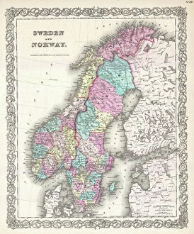
Background imageOld Map Collection: 1855, Colton Map of Scandinavia, Norway, Sweden, Finland, topography, cartography

1855, Colton Map of Scandinavia, Norway, Sweden, Finland, topography, cartography
1855, Colton Map of Scandinavia, Norway, Sweden, Finland

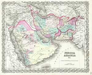
Background imageOld Map Collection: 1855, Colton Map of Persia, Afghanistan, and Arabia, topography, cartography, geography

1855, Colton Map of Persia, Afghanistan, and Arabia, topography, cartography, geography
1855, Colton Map of Persia, Afghanistan, and Arabia

Background imageOld Map Collection: 1848, Crutchley Pocket Map or Plan of London, England, topography, cartography, geography

1848, Crutchley Pocket Map or Plan of London, England, topography, cartography, geography
1848, Crutchley Pocket Map or Plan of London, England

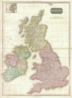
Background imageOld Map Collection: 1818, Pinkerton Map of the British Isles, England, Scotland, Ireland, John Pinkerton

1818, Pinkerton Map of the British Isles, England, Scotland, Ireland, John Pinkerton, 1758 - 1826, Scottish antiquarian, cartographer, UK

Background imageOld Map Collection: Ordnance Survey Map, Carlisle Street East and Savile Street East area, Sheffield

Ordnance Survey Map, Carlisle Street East and Savile Street East area, Sheffield, 1889 (Yorkshire sheet No. 294. 4. 24)
This map features: Top left: Bessemer Steel Works [Bessemer and Co. Ltd], Carlisle Street East; Midland Railway Goods Line; Atlas Steel and Iron Works [John Brown and Co]

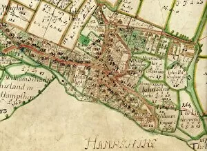
Background imageOld Map Collection: Map of Westbourne village, 1640

Map of Westbourne village, 1640
Additional Manuscript Collection West Sussex Record Office Ref No: Add Ms 2856

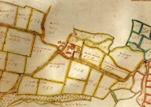
Background imageOld Map Collection: Map of the manor of Woolbeding, 1652

Map of the manor of Woolbeding, 1652
Additional Manuscript Collection West Sussex Record Office Ref No: Add Ms 1052

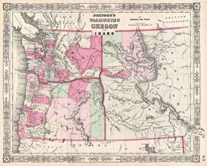
Background imageOld Map Collection: 1864, Johnson Map of Washington, Oregon, and Idaho, topography, cartography, geography

1864, Johnson Map of Washington, Oregon, and Idaho, topography, cartography, geography
1864, Johnson Map of Washington, Oregon, and Idaho

Background imageOld Map Collection: Ordnance Survey Map, Sheffield, Bramwell Street / Netherthorpe area, 1889 (Yorkshire sheet 294. 7)

Ordnance Survey Map, Sheffield, Bramwell Street / Netherthorpe area, 1889 (Yorkshire sheet 294. 7. 14)
This map features: Top left: Fawcett Street, Daisy Bank, Bramwell Street, Powell Street, Radford Place, Bromley Street, St

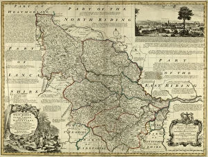
Background imageOld Map Collection: County Map of Yorkshire West Riding, c. 1777

County Map of Yorkshire West Riding, c. 1777
From The Large English Atlas: or, a new set of map of all the counties of England and Wales drawn from the several surveys which have been hitherto been published

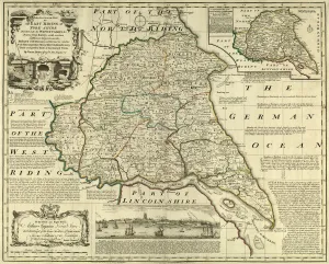
Background imageOld Map Collection: County Map of Yorkshire East Riding, c. 1777

County Map of Yorkshire East Riding, c. 1777
From The Large English Atlas: or, a new set of map of all the counties of England and Wales drawn from the several surveys which have been hitherto been published

Background imageOld Map Collection: County Map of Wiltshire, c. 1777

County Map of Wiltshire, c. 1777
From The Large English Atlas: or, a new set of map of all the counties of England and Wales drawn from the several surveys which have been hitherto been published

Background imageOld Map Collection: County Map of Staffordshire, c. 1777

County Map of Staffordshire, c. 1777
From The Large English Atlas: or, a new set of map of all the counties of England and Wales drawn from the several surveys which have been hitherto been published

Background imageOld Map Collection: Ordnance Survey Map, Sheffield, Edward Street / Netherthorpe area, 1889 (Yorkshire sheet 294. 7. 15)

Ordnance Survey Map, Sheffield, Edward Street / Netherthorpe area, 1889 (Yorkshire sheet 294. 7. 15)
This map features Top left: Hoyle Street, Dover Street, Morpeth Street, New Meadow Street, Craven Street, Well Meadow Street, Jericho Square, Upper Allen Street, Marsden Lane, Brocco Street

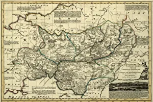
Background imageOld Map Collection: County Map of Camarthenshire, Wales, c. 1777

County Map of Camarthenshire, Wales, c. 1777
From The Large English Atlas: or, a new set of map of all the counties of England and Wales drawn from the several surveys which have been hitherto been published

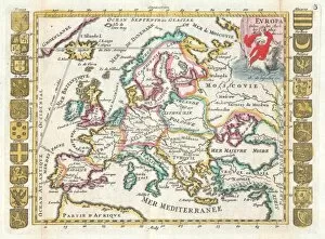
Background imageOld Map Collection: 1706, De La Feuille Map of Europe, topography, cartography, geography, land, illustration

1706, De La Feuille Map of Europe, topography, cartography, geography, land, illustration
1706, De La Feuille Map of Europe

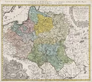
Background imageOld Map Collection: 1750, Homann Heirs Map of Poland, topography, cartography, geography, land, illustration

1750, Homann Heirs Map of Poland, topography, cartography, geography, land, illustration
1750, Homann Heirs Map of Poland

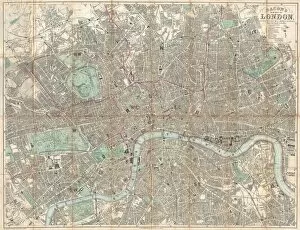
Background imageOld Map Collection: 1890, Bacon Travelers Pocket Map of London, England, topography, cartography

1890, Bacon Travelers Pocket Map of London, England, topography, cartography
1890, Bacon Travelers Pocket Map of London, England

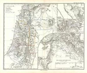
Background imageOld Map Collection: 1865, Spruner Map of Israel, Canaan, or Palestine in Ancient Times, topography, cartography

1865, Spruner Map of Israel, Canaan, or Palestine in Ancient Times, topography, cartography
1865, Spruner Map of Israel, Canaan, or Palestine in Ancient Times

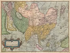
Background imageOld Map Collection: 1570, Ortelius Map of Asia, first edition, Abraham Ortelius, also Orthellius, 1527 - 1598

1570, Ortelius Map of Asia, first edition, Abraham Ortelius, also Orthellius, 1527 - 1598, Flemish, Netherlandish cartographer and geographer

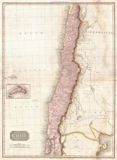
Background imageOld Map Collection: 1818, Pinkerton Map of Chile, John Pinkerton, 1758 - 1826, Scottish antiquarian, cartographer

1818, Pinkerton Map of Chile, John Pinkerton, 1758 - 1826, Scottish antiquarian, cartographer, UK

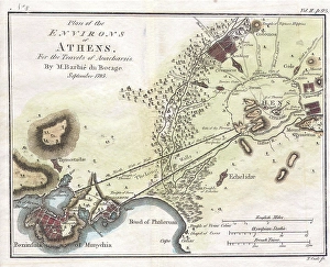
Background imageOld Map Collection: 1784, Bocage Map of the City of Athens in Ancient Greece, topography, cartography

1784, Bocage Map of the City of Athens in Ancient Greece, topography, cartography
1784, Bocage Map of the City of Athens in Ancient Greece

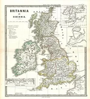
Background imageOld Map Collection: 1865, Spruner Map of the British Isles, England, Scotland, Ireland, topography, cartography

1865, Spruner Map of the British Isles, England, Scotland, Ireland, topography, cartography
1865, Spruner Map of the British Isles, England, Scotland, Ireland

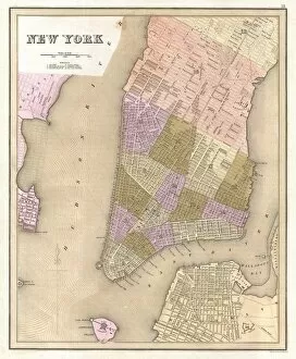
Background imageOld Map Collection: 1839, Bradford Map of New York City, New York, topography, cartography, geography

1839, Bradford Map of New York City, New York, topography, cartography, geography
1839, Bradford Map of New York City, New York

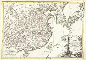
Background imageOld Map Collection: 1770, Bonne Map of China, Korea, Japan and Formosa, Rigobert Bonne 1727 - 1794, one

1770, Bonne Map of China, Korea, Japan and Formosa, Rigobert Bonne 1727 - 1794, one of the most important cartographers of the late 18th century

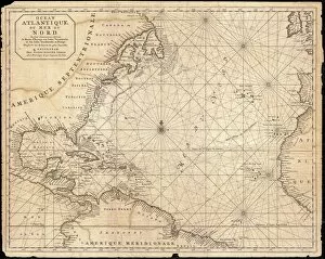
Background imageOld Map Collection: 1683, Mortier Map of North America, the West Indies, and the Atlantic Ocean, topography

1683, Mortier Map of North America, the West Indies, and the Atlantic Ocean, topography
1683, Mortier Map of North America, the West Indies, and the Atlantic Ocean

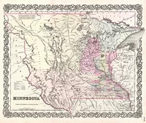
Background imageOld Map Collection: 1855, Colton Map of Minnesota, topography, cartography, geography, land, illustration

1855, Colton Map of Minnesota, topography, cartography, geography, land, illustration
1855, Colton Map of Minnesota

Background imageOld Map Collection: 1852, Levasseur Map of Asia, topography, cartography, geography, land, illustration

1852, Levasseur Map of Asia, topography, cartography, geography, land, illustration
1852, Levasseur Map of Asia

Background imageOld Map Collection: 1863, Cassells Dispatch Atlas Map of Taiwan, Formosa and the Hainan Coast of China

1863, Cassells Dispatch Atlas Map of Taiwan, Formosa and the Hainan Coast of China

Background imageOld Map Collection: 1835, S. D. U. K. City Map or Plan of Amsterdam, The Netherlands, topography, cartography

1835, S. D. U. K. City Map or Plan of Amsterdam, The Netherlands, topography, cartography
1835, S.D.U.K. City Map or Plan of Amsterdam, The Netherlands

Background imageOld Map Collection: 1818, Pinkerton Map of Persia, Iran, Afghanistan, John Pinkerton, 1758 - 1826, Scottish

1818, Pinkerton Map of Persia, Iran, Afghanistan, John Pinkerton, 1758 - 1826, Scottish antiquarian, cartographer, UK

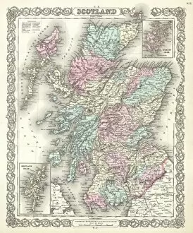
Background imageOld Map Collection: 1855, Colton Map of Scotland, topography, cartography, geography, land, illustration

1855, Colton Map of Scotland, topography, cartography, geography, land, illustration
1855, Colton Map of Scotland

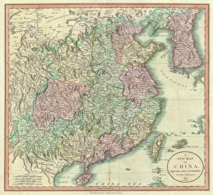
Background imageOld Map Collection: 1801, Cary Map of China and Korea, John Cary, 1754 - 1835, English cartographer, topography

1801, Cary Map of China and Korea, John Cary, 1754 - 1835, English cartographer, topography
1801, Cary Map of China and Korea, John Cary, 1754 - 1835, English cartographer

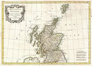
Background imageOld Map Collection: 1772, Bonne Map of Scotland, Rigobert Bonne 1727 - 1794, one of the most important

1772, Bonne Map of Scotland, Rigobert Bonne 1727 - 1794, one of the most important cartographers of the late 18th century

Background imageOld Map Collection: 1864, Garnier Map of Pairs, France w-Monuments, topography, cartography, geography

1864, Garnier Map of Pairs, France w-Monuments, topography, cartography, geography
1864, Garnier Map of Pairs, France w-Monuments

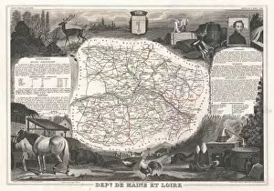
Background imageOld Map Collection: 1852, Levasseur Map of the Department De Maine et Loire, France, topography, cartography

1852, Levasseur Map of the Department De Maine et Loire, France, topography, cartography
1852, Levasseur Map of the Department De Maine et Loire, France

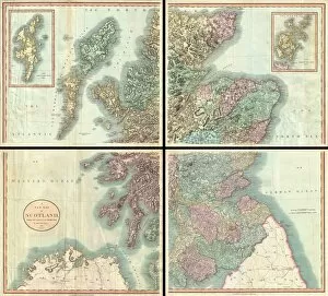
Background imageOld Map Collection: 1801, Cary Map of Scotland, 4 Sheets, John Cary, 1754 - 1835, English cartographer

1801, Cary Map of Scotland, 4 Sheets, John Cary, 1754 - 1835, English cartographer

Background imageOld Map Collection: Vol. 6. Plate, H. Map bound by Van Cott Ave. Van Pelt Ave. Monitor St. Meeker Ave
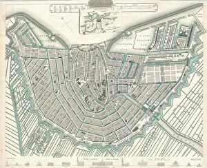
Vol. 6. Plate, H. Map bound by Van Cott Ave. Van Pelt Ave. Monitor St. Meeker Ave. Richardson St. Humboldt St. Conselyea St. Union Ave.; Including Jane St. Newton St. Bayard St. Frost St. Withers St

Background imageOld Map Collection: Map of the colonial powers, 1902, c.1900 (engraving)

Map of the colonial powers, 1902, c.1900 (engraving)
532894 Map of the colonial powers, 1902, c.1900 (engraving); (add.info.: Map of the world showing "the Chief Countries and their Colonies," circa 1902)

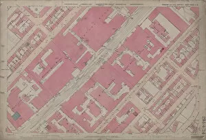
Background imageOld Map Collection: Ordnance Survey Map, Fowler Street, Pitsmoor area of Sheffield, 1889 (Yorkshire sheet no. 294. 4)

Ordnance Survey Map, Fowler Street, Pitsmoor area of Sheffield, 1889 (Yorkshire sheet no. 294. 4. 21)
This map features: Top left: Rutland Road, [Woodside Board School] School (Girls and Infants), Playground, Botsford Street, Rutland Street, Woodside Lane Birley Street, Fowler Street, Grove Street

Background imageOld Map Collection: Ordnance Survey Map, Blonk Street area, 1890 (sheet no. Yorkshire No. 294.8.12)

Ordnance Survey Map, Blonk Street area, 1890 (sheet no. Yorkshire No. 294.8.12)
This map features: Top left: River Don, Blonk Goit, Wicker, Wire Works, Blonk Street, Water Lane, Castle Green, Waingate, Slaughter Houses, Mill Sands, Bridge Street, Tramway, Wicker, Gun Lane


All Professionally Made to Order for Quick Shipping

"Unveiling the Rich Tapestry of History: Exploring Old Maps from Around the World" Step back in time to 1768 with the James Craig Map of New Town, Edinburgh, Scotland - a fascinating glimpse into the birth of this iconic city's urban landscape. Delve into ancient Greece and its captivating islands through the intricate details of the 1794 Delisle Map - an invaluable resource for understanding Southern Ancient Greece and Crete's topography. Travel through County Durham circa 1777 as you unravel its hidden gems with a meticulously crafted County Map that showcases both its natural beauty and man-made landmarks. Embark on an astronomical journey with an 1886 Telescopic View and Map of the Moon - a stunning fusion of cartography, geography, and land exploration that unveils our celestial neighbor like never before. Uncover North America and South America's secrets through Visscher's remarkable 1658 map, which intricately captures their diverse topography while showcasing early advancements in cartographic techniques. Immerse yourself in Scandinavia's enchanting landscapes as depicted by Colton's exquisite 1855 map - an artistic marvel that brings Norway, Sweden, Finland to life while highlighting their unique topographical features. Trace ancient history across Greece, Macedonia, and Thrace prior to the Peloponnesian War using Spruner's detailed 1865 map - a treasure trove for historians seeking insights into this pivotal era’s topography. Navigate London’s bustling streets circa 1848 with Crutchley’s Pocket Map or Plan – a testament to England’s capital city’s ever-evolving nature captured through meticulous cartographic precision. Explore John Pinkerton’s renowned Pinkerton Map from1818 – your gateway to discovering Britain’s Isles' rich heritage encompassing England, Scotland & Ireland; it is truly a collector's delight.