
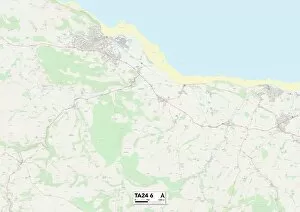
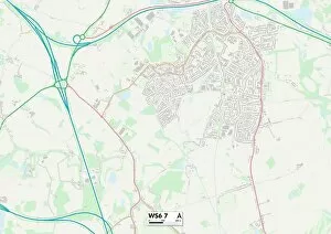
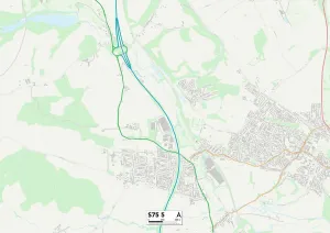
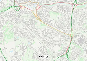
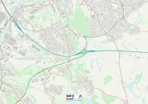
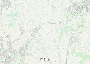
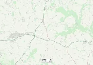
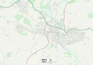
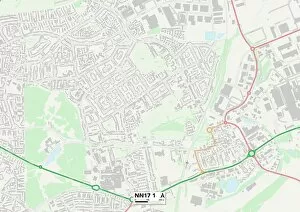
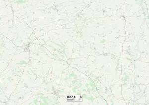
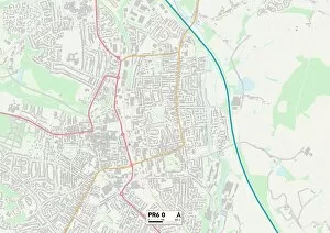
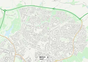
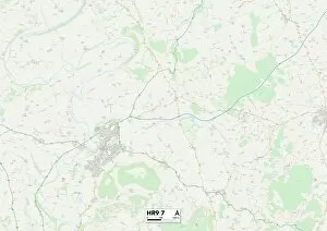
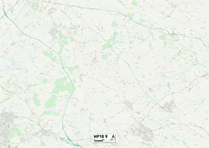
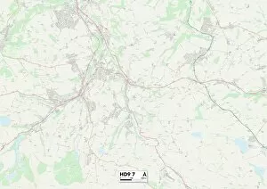
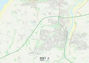
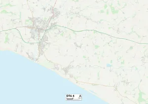
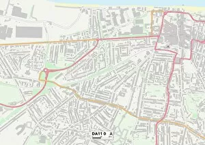
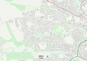
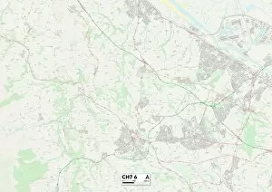
Quarry Close Collection
"Discover the hidden gems of Quarry Close across various locations in the UK


All Professionally Made to Order for Quick Shipping
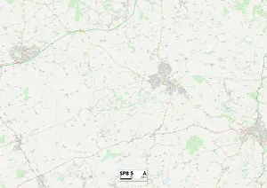
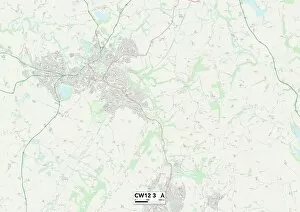
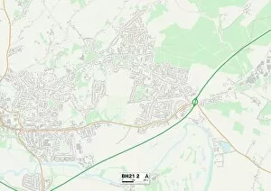
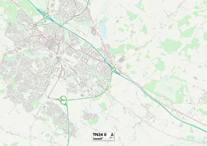
"Discover the hidden gems of Quarry Close across various locations in the UK. From North Dorset to Cannock Chase, Cheshire East to East Dorset, Ashford to Somerset, and High Peak to Kennet - these maps will guide you through breathtaking landscapes. Immerse yourself in nature's beauty as you explore South Staffordshire and Barnsley or take a leisurely stroll through Halton and Rotherham. Each location offers its own unique charm, whether it's the tranquil lakes of North Dorset or the picturesque woodlands of Cannock Chase. So grab your map and embark on an adventure filled with stunning scenery and unforgettable experiences at Quarry Close. "