
Sea Chart Collection (page 2)
"Unveiling the Secrets of the Sea: A Journey through Historic Sea Charts" Embark on a voyage through time and explore the captivating world of sea charts


All Professionally Made to Order for Quick Shipping
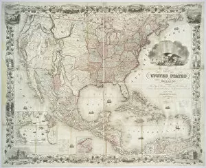
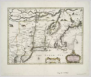
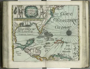
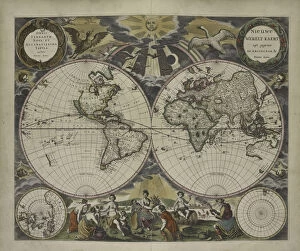
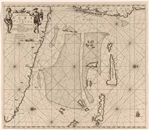
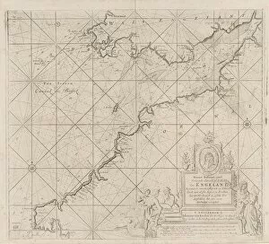
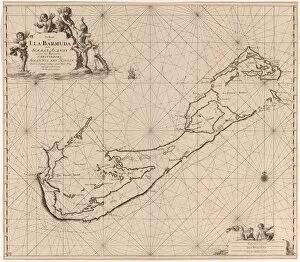
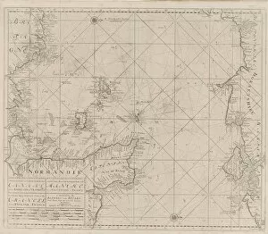
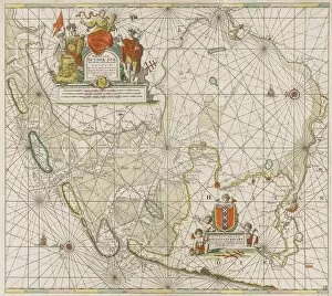
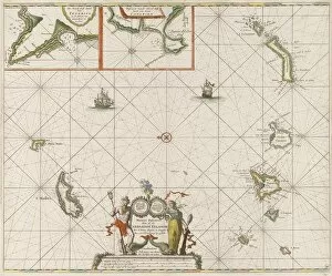
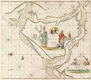
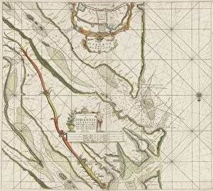
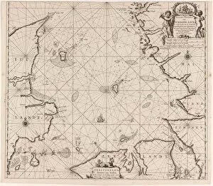
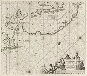
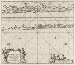
"Unveiling the Secrets of the Sea: A Journey through Historic Sea Charts" Embark on a voyage through time and explore the captivating world of sea charts. These intricate maps have guided sailors, explorers, and adventurers for centuries, revealing the wonders of our planet's vast oceans. One such chart is a Map of Africa showcasing its most recent discoveries, including the Island of St. This meticulously crafted map provides a glimpse into the evolving knowledge of this magnificent continent. Another remarkable creation is "A new and correct map of the world laid down according to the newest discoveries. " It unveils an ever-expanding understanding of our globe as explorations unraveled its mysteries. In 1513, Islam was introduced to The New World through an extraordinary Atlantic map created by Admiral Piri Reis. This masterpiece not only depicts uncharted territories but also signifies cultural exchanges that shaped history. Jan Luyken and Claes Jansz Voogt's sea chart showcases Cuba and Jamaica's south coast with meticulous detail. Their artistry brings these Caribbean gems to life, inviting us to imagine sailing along their shores. The vibrant colored engraving depicting Santiago in Cape Verde captures a pivotal moment in history - its capture in 1585 reveals European powers' ambitions during an era marked by fierce competition for global dominance. Traveling back even further in time takes us to 1375 when cartographers produced awe-inspiring works like Sheet 10 from Catalan Atlas. Crafted with pen and colored inks on parchment, it offers insights into medieval perceptions of geography. Sheet 9 from Catalan Atlas presents another fascinating chapter with its intricate details etched onto parchment using pen and colored inks. Each stroke tells stories about ancient lands waiting to be explored. Continuing this journey through time leads us to Sheet 12 from Catalan Atlas - yet another testament to human curiosity about distant realms beyond known horizons. Its delicate beauty invites contemplation.