
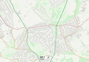
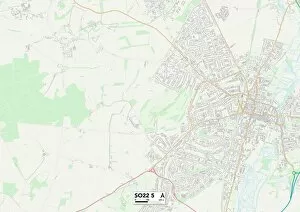
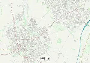
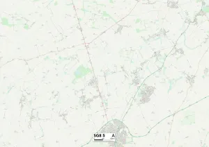
Shelley Close Collection
"Discover the hidden gems of Shelley Close and embark on a journey through picturesque locations across the UK


All Professionally Made to Order for Quick Shipping
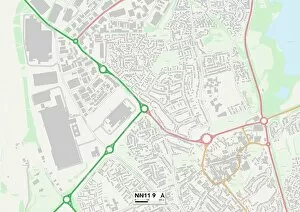
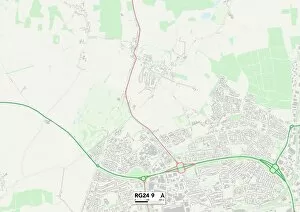
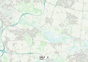
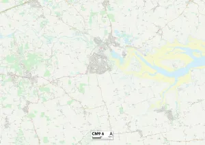
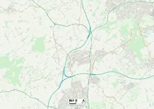
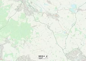
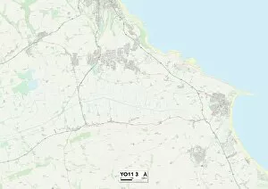
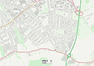
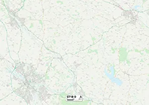
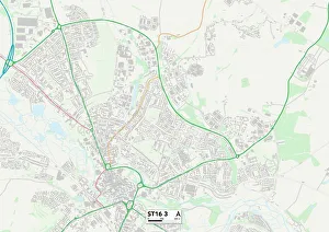
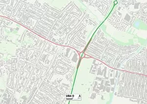
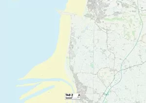
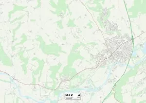
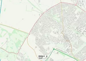
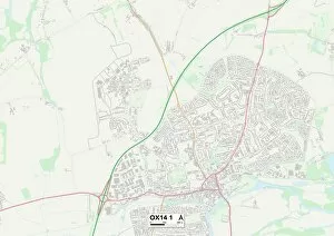
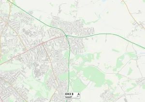
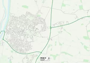
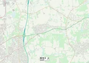
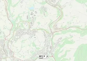
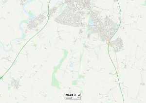
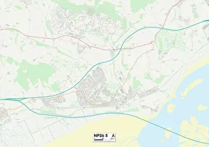
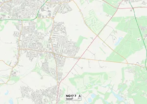
"Discover the hidden gems of Shelley Close and embark on a journey through picturesque locations across the UK. From the charming countryside of Hampshire RG24 9 to the vibrant cityscape of Slough SL3 8, each address in Shelley Close offers its own unique charm and character. Immerse yourself in history as you explore the historic town of Daventry NN11 9, where ancient architecture meets modern amenities. Or venture further north to Leeds LS26 8, a bustling metropolis filled with cultural delights and endless entertainment options. Escape to tranquility in Maldon CM9 6, nestled along the stunning coastlines that will leave you breathless with its natural beauty. Indulge your senses in Bromsgrove B61 0, where quaint streets are lined with boutique shops and cozy cafes. Nature enthusiasts will find solace in Cannock Chase WS15 4, an area renowned for its breathtaking landscapes and abundant wildlife. Experience serenity like never before amidst North Yorkshire YO11 3's rolling hills and idyllic countryside. Uncover Hertsmere WD6 2's hidden treasures as you wander through its charming neighborhoods filled with friendly faces and community spirit. Worcester WR3 8 invites you to embrace its rich heritage while enjoying modern conveniences at every turn. Step into Staffordshire ST18 0 or ST16 3 for a taste of rural bliss combined with easy access to urban amenities - truly offering the best of both worlds. " Embark on an unforgettable adventure through Shelley Close's diverse addresses - each one promising a unique experience that will leave lasting memories.