
Sorrel Close Collection
"Sorrel Close: A Hidden Gem in the Heart of England's Map" Discover the charm and tranquility of Sorrel Close, located in various locations across Lichfield


All Professionally Made to Order for Quick Shipping
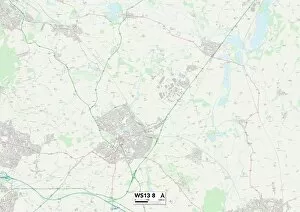
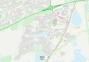
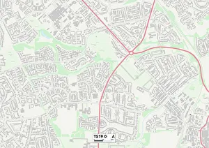
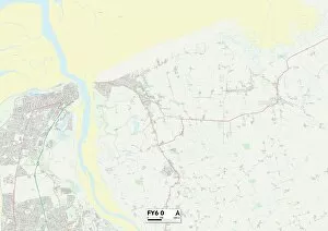
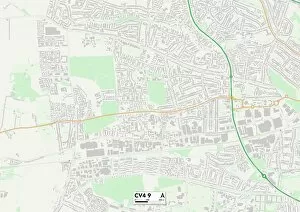
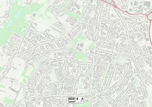
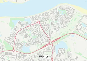
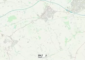
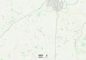
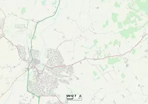
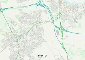
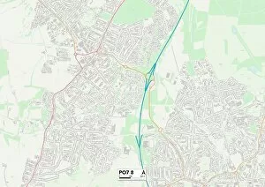
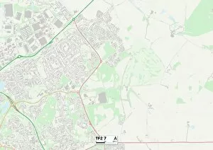
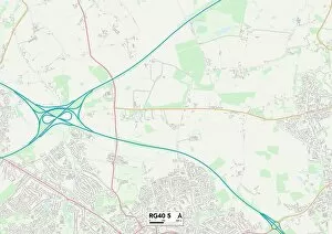
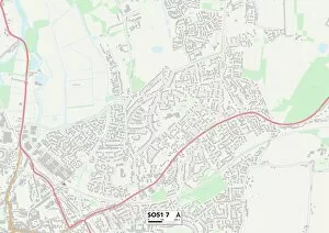
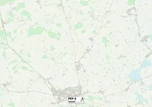
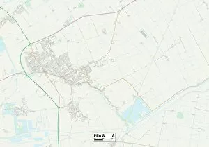
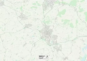
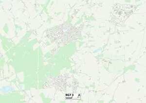
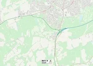
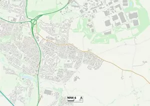
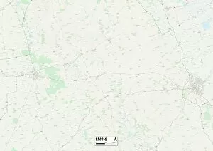
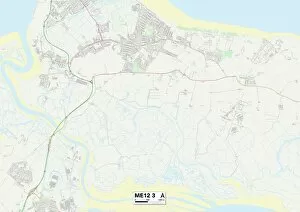
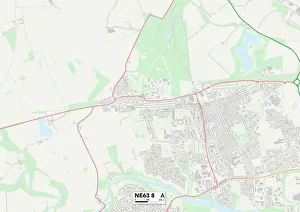
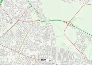
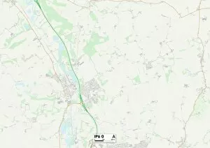
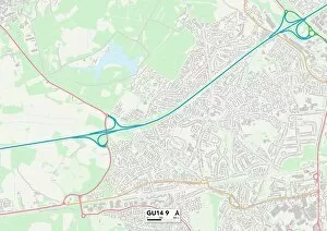
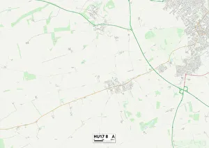
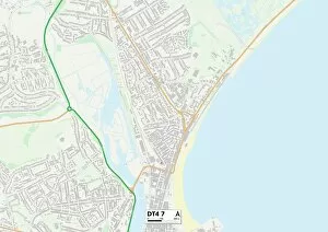
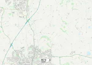
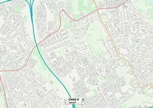
"Sorrel Close: A Hidden Gem in the Heart of England's Map" Discover the charm and tranquility of Sorrel Close, located in various locations across Lichfield, Peterborough, Wolverhampton, Wyre, Coventry, Stockton-on-Tees, Warrington, Worcester, Eastleigh, Staffordshire, Greenwich and Swindon. Nestled amidst picturesque landscapes and dotted with stunning homes on every corner. This idyllic neighborhood offers a peaceful retreat from the hustle and bustle of city life. With its convenient location near major highways (WS13 8 Map), (PE7 8 Map), (WV10 7 Map), (FY6 0 Map), (CV4 9 Map), (TS19 0 Map), (WA2 0 Map), (WR3 7 Map), (SO31 6Map) - residents enjoy easy access to all amenities while still relishing in a serene environment. Whether you're seeking a place to raise your family or looking for an ideal spot to retire - Sorrel Close has it all. Immerse yourself in nature's beauty as you explore nearby parks and green spaces. Indulge in local culture by visiting historic landmarks or enjoying vibrant community events. Make Sorrel Close your haven today – where comfort meets convenience at every turn.