
Spencer Close Collection
Spencer Close: Exploring the Hidden Gems of South Oxfordshire to Pembrokeshire Discover the charm and beauty of Spencer Close


All Professionally Made to Order for Quick Shipping
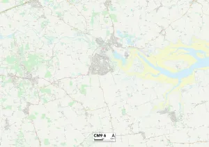
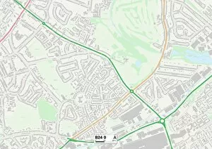
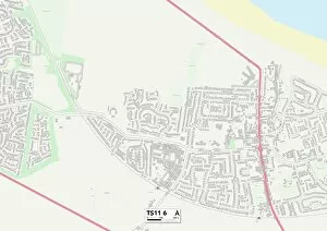
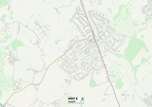
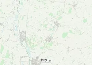
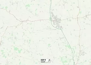
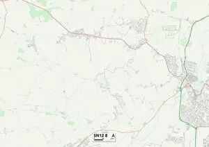
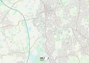
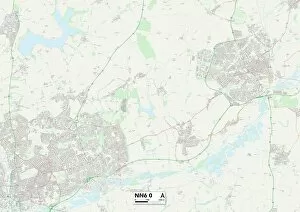
Spencer Close: Exploring the Hidden Gems of South Oxfordshire to Pembrokeshire Discover the charm and beauty of Spencer Close, a collection of diverse locations scattered across England and Wales. From the picturesque countryside in South Oxfordshire (RG8 0 Map) to the tranquil coastal town of Maldon (CM9 6 Map), this journey will take you through breathtaking landscapes that are sure to captivate your senses. Begin your adventure in Birmingham (B24 0 Map), a vibrant city known for its rich history and cultural heritage. Immerse yourself in its bustling streets, where modern architecture seamlessly blends with historic landmarks. Explore Redcar & Cleveland (TS11 6 Map), an idyllic seaside destination offering stunning views of sandy beaches and rugged cliffs. Continue your exploration as you venture into Hertsmere (WD7 8 Map), a hidden gem nestled amidst lush greenery. This peaceful retreat is perfect for those seeking tranquility away from the hustle and bustle of city life. Staffordshire's charming village atmosphere awaits you next at ST14 8 Map, where quaint cottages line narrow lanes leading to beautiful countryside vistas. As you make your way towards Central Bedfordshire (SG19 2 Map), be prepared to be enchanted by its rolling hills, ancient woodlands, and charming market towns. East Hertfordshire's picturesque villages at SG9 9 Map offer a glimpse into traditional English life with their thatched-roof houses and cozy pubs. Wiltshire's SN12 8 Map takes you on a journey through time with its prehistoric sites like Stonehenge alongside quintessential English villages dotted throughout its landscape. Swindon's SN5 5 map offers both urban excitement and natural beauty, making it an ideal destination for outdoor enthusiasts. Hillingdon's UB8 2 map brings together suburban living with vast green spaces such as Colne Valley Regional Park, providing a serene escape from city life.