Fraud Blocker Skip to main content

St Johns Close Collection (page 2)

Discover the charm of St Johns Close, a hidden gem in various locations across the UK

Background imageSt Johns Close Collection: Wiltshire SP1 1 Map

Wiltshire SP1 1 Map
Postcode Sector Map of Wiltshire SP1 1

Background imageSt Johns Close Collection: North Dorset SP7 9 Map

North Dorset SP7 9 Map
Postcode Sector Map of North Dorset SP7 9

Background imageSt Johns Close Collection: Rochford SS3 0 Map

Rochford SS3 0 Map
Postcode Sector Map of Rochford SS3 0

Background imageSt Johns Close Collection: Wiltshire SP3 6 Map

Wiltshire SP3 6 Map
Postcode Sector Map of Wiltshire SP3 6

Background imageSt Johns Close Collection: Hammersmith and Fulham SW6 7 Map

Hammersmith and Fulham SW6 7 Map
Postcode Sector Map of Hammersmith and Fulham SW6 7

Background imageSt Johns Close Collection: Cornwall PL10 1 Map

Cornwall PL10 1 Map
Postcode Sector Map of Cornwall PL10 1

Background imageSt Johns Close Collection: Plymouth PL6 8 Map

Plymouth PL6 8 Map
Postcode Sector Map of Plymouth PL6 8

Background imageSt Johns Close Collection: South Hams PL21 9 Map

South Hams PL21 9 Map
Postcode Sector Map of South Hams PL21 9

Background imageSt Johns Close Collection: South Kesteven PE10 0 Map

South Kesteven PE10 0 Map
Postcode Sector Map of South Kesteven PE10 0

Background imageSt Johns Close Collection: South Kesteven PE9 4 Map

South Kesteven PE9 4 Map
Postcode Sector Map of South Kesteven PE9 4

Background imageSt Johns Close Collection: South Kesteven PE6 9 Map

South Kesteven PE6 9 Map
Postcode Sector Map of South Kesteven PE6 9

Background imageSt Johns Close Collection: Huntingdonshire PE27 4 Map

Huntingdonshire PE27 4 Map
Postcode Sector Map of Huntingdonshire PE27 4

Background imageSt Johns Close Collection: Stockport SK6 3 Map

Stockport SK6 3 Map
Postcode Sector Map of Stockport SK6 3

Background imageSt Johns Close Collection: Monmouthshire NP4 6 Map

Monmouthshire NP4 6 Map
Postcode Sector Map of Monmouthshire NP4 6

Background imageSt Johns Close Collection: Daventry NN11 4 Map

Daventry NN11 4 Map
Postcode Sector Map of Daventry NN11 4

Background imageSt Johns Close Collection: South Oxfordshire OX11 8 Map

South Oxfordshire OX11 8 Map
Postcode Sector Map of South Oxfordshire OX11 8

Background imageSt Johns Close Collection: Vale of White Horse OX13 5 Map

Vale of White Horse OX13 5 Map
Postcode Sector Map of Vale of White Horse OX13 5

Background imageSt Johns Close Collection: Peterborough PE3 6 Map

Peterborough PE3 6 Map
Postcode Sector Map of Peterborough PE3 6

Background imageSt Johns Close Collection: Berkshire RG7 3 Map

Berkshire RG7 3 Map
Postcode Sector Map of Berkshire RG7 3

Background imageSt Johns Close Collection: Isle of Wight PO30 1 Map

Isle of Wight PO30 1 Map
Postcode Sector Map of Isle of Wight PO30 1

Background imageSt Johns Close Collection: Sussex PO20 3 Map

Sussex PO20 3 Map
Postcode Sector Map of Sussex PO20 3

Background imageSt Johns Close Collection: Wokingham RG5 4 Map

Wokingham RG5 4 Map
Postcode Sector Map of Wokingham RG5 4

Background imageSt Johns Close Collection: Powys NP8 1 Map

Powys NP8 1 Map
Postcode Sector Map of Powys NP8 1

Background imageSt Johns Close Collection: Norfolk NR12 7 Map

Norfolk NR12 7 Map
Postcode Sector Map of Norfolk NR12 7

Background imageSt Johns Close Collection: Norfolk NR9 3 Map

Norfolk NR9 3 Map
Postcode Sector Map of Norfolk NR9 3

Background imageSt Johns Close Collection: Daventry NN7 3 Map

Daventry NN7 3 Map
Postcode Sector Map of Daventry NN7 3

Background imageSt Johns Close Collection: North Kesteven NG34 8 Map

North Kesteven NG34 8 Map
Postcode Sector Map of North Kesteven NG34 8

Background imageSt Johns Close Collection: Norfolk NR1 2 Map

Norfolk NR1 2 Map
Postcode Sector Map of Norfolk NR1 2

Background imageSt Johns Close Collection: Enfield N14 4 Map

Enfield N14 4 Map
Postcode Sector Map of Enfield N14 4

Background imageSt Johns Close Collection: North Tyneside NE26 1 Map

North Tyneside NE26 1 Map
Postcode Sector Map of North Tyneside NE26 1

Background imageSt Johns Close Collection: Leeds LS3 1 Map

Leeds LS3 1 Map
Postcode Sector Map of Leeds LS3 1

Background imageSt Johns Close Collection: Medway ME3 7 Map

Medway ME3 7 Map
Postcode Sector Map of Medway ME3 7

Background imageSt Johns Close Collection: Broxtowe NG16 5 Map

Broxtowe NG16 5 Map
Postcode Sector Map of Broxtowe NG16 5

Background imageSt Johns Close Collection: Central Bedfordshire LU7 9 Map

Central Bedfordshire LU7 9 Map
Postcode Sector Map of Central Bedfordshire LU7 9

Background imageSt Johns Close Collection: Leicester LE67 2 Map

Leicester LE67 2 Map
Postcode Sector Map of Leicester LE67 2

Background imageSt Johns Close Collection: West Lindsey LN1 2 Map

West Lindsey LN1 2 Map
Postcode Sector Map of West Lindsey LN1 2

Background imageSt Johns Close Collection: Leeds LS25 3 Map

Leeds LS25 3 Map
Postcode Sector Map of Leeds LS25 3

Background imageSt Johns Close Collection: Mole Valley KT22 7 Map

Mole Valley KT22 7 Map
Postcode Sector Map of Mole Valley KT22 7

Background imageSt Johns Close Collection: East Riding of Yorkshire HU17 8 Map

East Riding of Yorkshire HU17 8 Map
Postcode Sector Map of East Riding of Yorkshire HU17 8

Background imageSt Johns Close Collection: Calderdale HX7 8 Map

Calderdale HX7 8 Map
Postcode Sector Map of Calderdale HX7 8

Background imageSt Johns Close Collection: Calderdale HX6 4 Map

Calderdale HX6 4 Map
Postcode Sector Map of Calderdale HX6 4

Background imageSt Johns Close Collection: Wycombe HP10 8 Map

Wycombe HP10 8 Map
Postcode Sector Map of Wycombe HP10 8

Background imageSt Johns Close Collection: Forest Heath IP28 7 Map

Forest Heath IP28 7 Map
Postcode Sector Map of Forest Heath IP28 7

Background imageSt Johns Close Collection: Harrogate HG3 3 Map

Harrogate HG3 3 Map
Postcode Sector Map of Harrogate HG3 3

Background imageSt Johns Close Collection: Ripon HG4 5 Map

Ripon HG4 5 Map
Postcode Sector Map of Ripon HG4 5

Background imageSt Johns Close Collection: Chichester GU29 9 Map

Chichester GU29 9 Map
Postcode Sector Map of Chichester GU29 9

Background imageSt Johns Close Collection: Tewkesbury GL52 8 Map

Tewkesbury GL52 8 Map
Postcode Sector Map of Tewkesbury GL52 8

Background imageSt Johns Close Collection: Brent HA9 7 Map

Brent HA9 7 Map
Postcode Sector Map of Brent HA9 7


All Professionally Made to Order for Quick Shipping

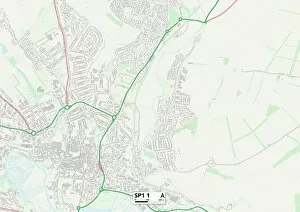
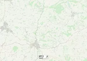
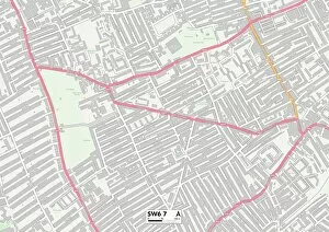
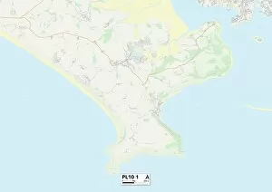
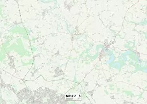
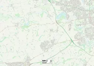
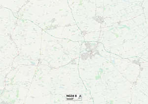
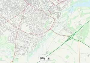
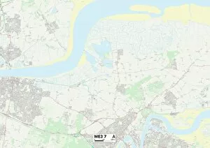
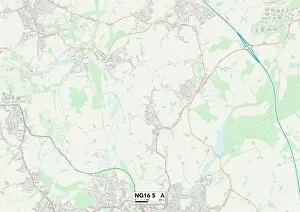
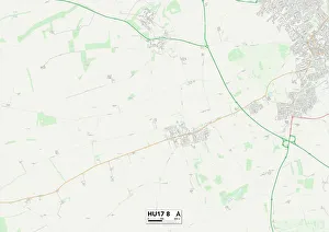
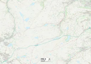
Discover the charm of St Johns Close, a hidden gem in various locations across the UK. From Guildford's picturesque GU2 7 Map to Wyre Forest's tranquil DY11 6 Map, this quaint street offers something for everyone. Take a stroll through Cannock Chase's WS15 2 Map and immerse yourself in its natural beauty or explore the vibrant community of Middlesbrough with TS4 2 Map as your guide. Rotherham's S65 2 Map boasts historical significance while West Norfolk's PE33 9 Map invites you to unwind amidst stunning landscapes. Huntingdonshire's PE28 3 Map is perfect for those seeking tranquility, while Chorley's PR6 7 Map offers a blend of history and modernity. Stratford-on-Avon’s CV36 5 map will transport you back in time with its rich heritage, whereas BB Blackburn BB5 2 promises an urban escape like no other. Don't miss out on the captivating St Johns Close (colour litho) that adds a touch of artistic flair wherever it resides. Finally, Wakefield WF5 OMap beckons adventurers with its diverse attractions and activities waiting to be explored. No matter where you find yourself on the map, St Johns Close promises an unforgettable experience.