
St Lawrence River Collection (page 3)
The St. Lawrence River, a majestic waterway that spans over 1, 900 kilometers, holds a rich history and captivating beauty


All Professionally Made to Order for Quick Shipping
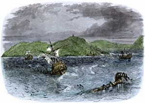
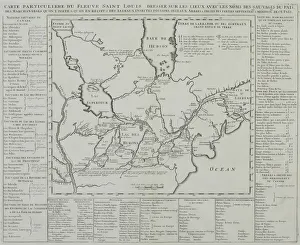
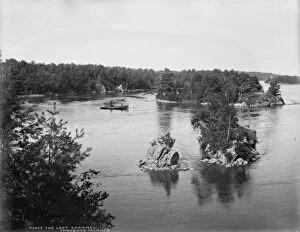
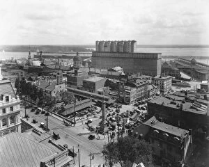
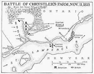
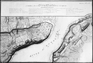
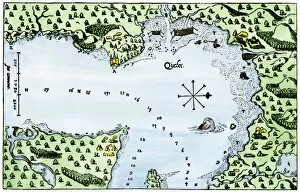
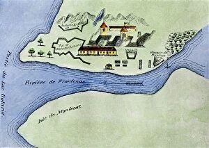
The St. Lawrence River, a majestic waterway that spans over 1, 900 kilometers, holds a rich history and captivating beauty. From the ice canoe races during the winter carnival in Quebec to its discovery by Jacques Cartier in 1535, this river has witnessed countless remarkable events. In 1874, Robert Hinshelwood and John Douglas Woodward immortalized the thrilling ice canoe races on the St. Lawrence River through their artistry. The frozen waters of this mighty river become an arena for adrenaline-pumping competitions during the winter festivities. Speaking of historical significance, it was here that Jacques Cartier first set foot on Canadian soil in 1535. This momentous event marked the beginning of European exploration and colonization in North America. Fast forward to 1886 when Saddler's artwork showcased the grandeur of Victoria Bridge stretching across the St. Lawrence River in Canada. This engineering marvel connected nations and symbolized progress and unity. The Thousand Islands within the St. Lawrence River offer breathtaking views as captured beautifully in black-and-white photography. These islands are scattered along its course like precious gems adorning nature's necklace. Tragedy struck this iconic river with the sinking of Empress of Ireland, leading to a search for victims depicted vividly through color lithography. It serves as a reminder of both its beauty and unforgiving nature. Not only does this river hold historical importance but also played a pivotal role in conflicts such as "the Assault" above Quebec City where battles were fought for control over strategic positions along its banks. Lastly, let us not forget about its immense power harnessed for industrial purposes as seen in lithographs depicting great water power plants along its shores within United States territory. The St. Lawrence River is more than just flowing water; it is an embodiment of history, adventure, tragedy, natural wonders, and human ingenuity all intertwined into one magnificent entity that continues to captivate and inspire.