Fraud Blocker Skip to main content

St Marys Close Collection (page 4)

"Discover the hidden gems of St Mary's Close, scattered across various locations in the UK

Background imageSt Marys Close Collection: Bracknell Forest GU47 9 Map

Bracknell Forest GU47 9 Map
Postcode Sector Map of Bracknell Forest GU47 9

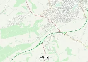
Background imageSt Marys Close Collection: East Hampshire GU34 1 Map

East Hampshire GU34 1 Map
Postcode Sector Map of East Hampshire GU34 1

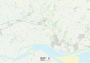
Background imageSt Marys Close Collection: East Riding of Yorkshire HU15 1 Map

East Riding of Yorkshire HU15 1 Map
Postcode Sector Map of East Riding of Yorkshire HU15 1

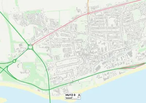
Background imageSt Marys Close Collection: East Riding of Yorkshire HU13 0 Map

East Riding of Yorkshire HU13 0 Map
Postcode Sector Map of East Riding of Yorkshire HU13 0

Background imageSt Marys Close Collection: East Riding of Yorkshire HU12 9 Map

East Riding of Yorkshire HU12 9 Map
Postcode Sector Map of East Riding of Yorkshire HU12 9

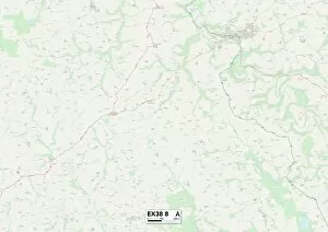
Background imageSt Marys Close Collection: Exeter EX38 8 Map

Exeter EX38 8 Map
Postcode Sector Map of Exeter EX38 8

Background imageSt Marys Close Collection: Tewkesbury GL54 1 Map

Tewkesbury GL54 1 Map
Postcode Sector Map of Tewkesbury GL54 1

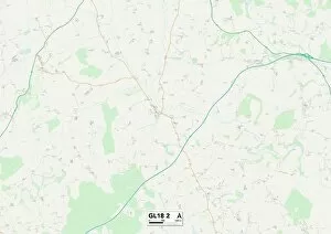
Background imageSt Marys Close Collection: Gloucester GL18 2 Map

Gloucester GL18 2 Map
Postcode Sector Map of Gloucester GL18 2

Background imageSt Marys Close Collection: Cotswold GL7 4 Map

Cotswold GL7 4 Map
Postcode Sector Map of Cotswold GL7 4

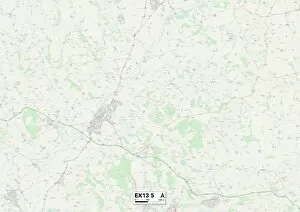
Background imageSt Marys Close Collection: Exeter EX13 5 Map

Exeter EX13 5 Map
Postcode Sector Map of Exeter EX13 5

Background imageSt Marys Close Collection: Derby DE24 0 Map

Derby DE24 0 Map
Postcode Sector Map of Derby DE24 0

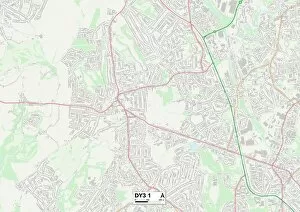
Background imageSt Marys Close Collection: Dudley DY3 1 Map

Dudley DY3 1 Map
Postcode Sector Map of Dudley DY3 1

Background imageSt Marys Close Collection: North East Lincolnshire DN32 8 Map

North East Lincolnshire DN32 8 Map
Postcode Sector Map of North East Lincolnshire DN32 8

Background imageSt Marys Close Collection: North Yorkshire DL7 0 Map

North Yorkshire DL7 0 Map
Postcode Sector Map of North Yorkshire DL7 0

Background imageSt Marys Close Collection: Stratford-on-Avon CV47 7 Map

Stratford-on-Avon CV47 7 Map
Postcode Sector Map of Stratford-on-Avon CV47 7

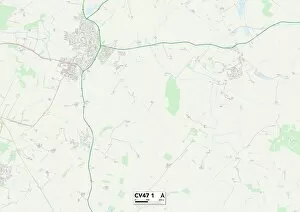
Background imageSt Marys Close Collection: Stratford-on-Avon CV47 1 Map

Stratford-on-Avon CV47 1 Map
Postcode Sector Map of Stratford-on-Avon CV47 1

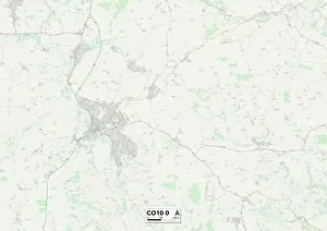
Background imageSt Marys Close Collection: Babergh CO10 0 Map

Babergh CO10 0 Map
Postcode Sector Map of Babergh CO10 0

Background imageSt Marys Close Collection: Gravesham DA12 1 Map

Gravesham DA12 1 Map
Postcode Sector Map of Gravesham DA12 1

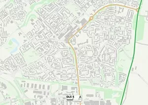
Background imageSt Marys Close Collection: County Durham DL5 5 Map

County Durham DL5 5 Map
Postcode Sector Map of County Durham DL5 5

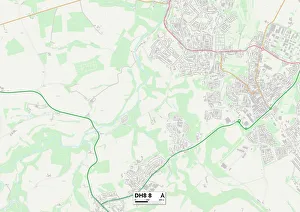
Background imageSt Marys Close Collection: County Durham DH8 8 Map

County Durham DH8 8 Map
Postcode Sector Map of County Durham DH8 8

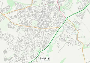
Background imageSt Marys Close Collection: County Durham DL14 6 Map

County Durham DL14 6 Map
Postcode Sector Map of County Durham DL14 6

Background imageSt Marys Close Collection: North Yorkshire DL10 6 Map

North Yorkshire DL10 6 Map
Postcode Sector Map of North Yorkshire DL10 6

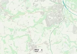
Background imageSt Marys Close Collection: County Durham DH2 3 Map

County Durham DH2 3 Map
Postcode Sector Map of County Durham DH2 3

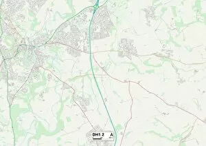
Background imageSt Marys Close Collection: County Durham DH1 2 Map

County Durham DH1 2 Map
Postcode Sector Map of County Durham DH1 2

Background imageSt Marys Close Collection: Warwick CV34 5 Map

Warwick CV34 5 Map
Postcode Sector Map of Warwick CV34 5

Background imageSt Marys Close Collection: Hinckley and Bosworth CV13 6 Map

Hinckley and Bosworth CV13 6 Map
Postcode Sector Map of Hinckley and Bosworth CV13 6

Background imageSt Marys Close Collection: Cardiff CF5 5 Map

Cardiff CF5 5 Map
Postcode Sector Map of Cardiff CF5 5

Background imageSt Marys Close Collection: Kent CT15 4 Map

Kent CT15 4 Map
Postcode Sector Map of Kent CT15 4

Background imageSt Marys Close Collection: Kent CT13 0 Map

Kent CT13 0 Map
Postcode Sector Map of Kent CT13 0

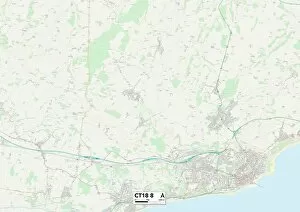
Background imageSt Marys Close Collection: Folkestone CT18 8 Map

Folkestone CT18 8 Map
Postcode Sector Map of Folkestone CT18 8

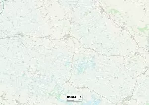
Background imageSt Marys Close Collection: Somerset BS28 4 Map

Somerset BS28 4 Map
Postcode Sector Map of Somerset BS28 4

Background imageSt Marys Close Collection: North Somerset BS24 9 Map

North Somerset BS24 9 Map
Postcode Sector Map of North Somerset BS24 9

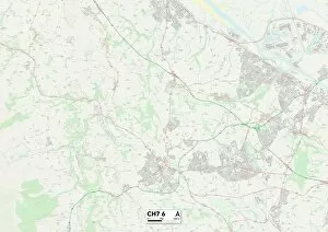
Background imageSt Marys Close Collection: Flintshire CH7 6 Map

Flintshire CH7 6 Map
Postcode Sector Map of Flintshire CH7 6

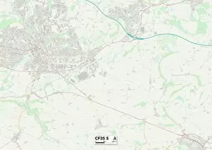
Background imageSt Marys Close Collection: Bridgend CF35 5 Map

Bridgend CF35 5 Map
Postcode Sector Map of Bridgend CF35 5

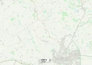
Background imageSt Marys Close Collection: Braintree CM7 5 Map

Braintree CM7 5 Map
Postcode Sector Map of Braintree CM7 5

Background imageSt Marys Close Collection: Chelmsford CM2 8 Map

Chelmsford CM2 8 Map
Postcode Sector Map of Chelmsford CM2 8

Background imageSt Marys Close Collection: Merthyr Tydfil CF47 8 Map

Merthyr Tydfil CF47 8 Map
Postcode Sector Map of Merthyr Tydfil CF47 8

Background imageSt Marys Close Collection: Bradford BD12 8 Map

Bradford BD12 8 Map
Postcode Sector Map of Bradford BD12 8

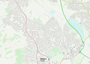
Background imageSt Marys Close Collection: Eastbourne BN22 0 Map

Eastbourne BN22 0 Map
Postcode Sector Map of Eastbourne BN22 0

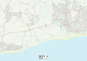
Background imageSt Marys Close Collection: Arun BN17 5 Map

Arun BN17 5 Map
Postcode Sector Map of Arun BN17 5

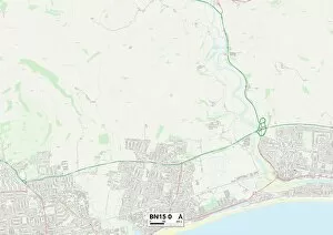
Background imageSt Marys Close Collection: Worthing BN15 0 Map

Worthing BN15 0 Map
Postcode Sector Map of Worthing BN15 0

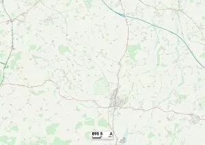
Background imageSt Marys Close Collection: Stratford-on-Avon B95 5 Map

Stratford-on-Avon B95 5 Map
Postcode Sector Map of Stratford-on-Avon B95 5

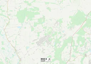
Background imageSt Marys Close Collection: Christchurch BH23 8 Map

Christchurch BH23 8 Map
Postcode Sector Map of Christchurch BH23 8

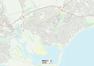
Background imageSt Marys Close Collection: Christchurch BH23 3 Map

Christchurch BH23 3 Map
Postcode Sector Map of Christchurch BH23 3

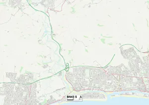
Background imageSt Marys Close Collection: BN Brighton, BN43 5

BN Brighton, BN43 5
BN43 5

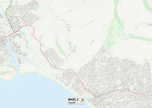
Background imageSt Marys Close Collection: UK Maps, BN Brighton, BN25 2

UK Maps, BN Brighton, BN25 2
BN25 2

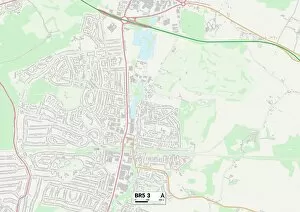
Background imageSt Marys Close Collection: Bromley BR5 3 Map

Bromley BR5 3 Map
Postcode Sector Map of Bromley BR5 3

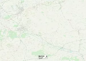
Background imageSt Marys Close Collection: Wiltshire BA12 0 Map

Wiltshire BA12 0 Map
Postcode Sector Map of Wiltshire BA12 0


All Professionally Made to Order for Quick Shipping

"Discover the hidden gems of St Mary's Close, scattered across various locations in the UK. From Leeds LS7 3 to Wolverhampton WV10 7, Somerset TA19 0 to Horsham RH20 3, and Cornwall PL31 1 to Thurrock RM17 6 - this captivating journey takes you through picturesque landscapes. Explore the historical charm of Huntingdonshire PE28 3 and South Gloucestershire BS30 8, or immerse yourself in the vibrant city life of Birmingham B24 0. Marvel at the architectural wonders found in Wolverhampton WV7 3 and Leeds WF3 1, or soak up the tranquility of North Yorkshire YO7 Each location on this map holds its own unique story waiting to be unraveled. Embark on a thrilling adventure as you navigate your way through St Mary's Close - a tapestry woven with history, beauty, and endless possibilities. "