
The Americas Collection
"The Americas: A Tapestry of Natural Wonders and Historical Significance" Embark on a journey through the captivating landscapes and rich history of the Americas


All Professionally Made to Order for Quick Shipping
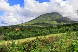
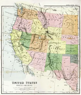
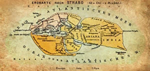
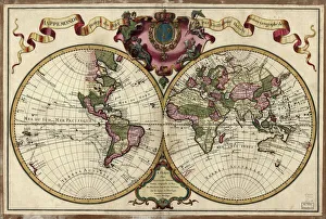
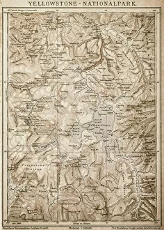
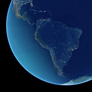
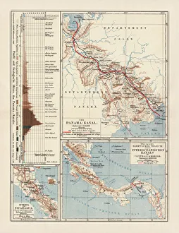
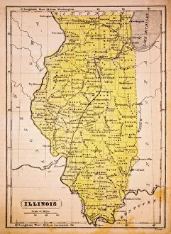
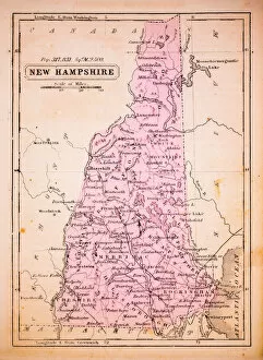
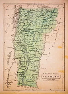
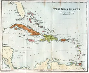
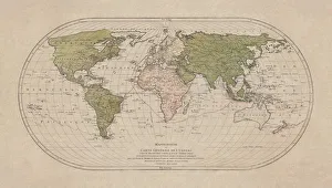
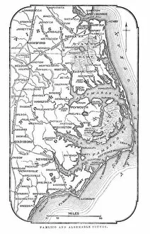
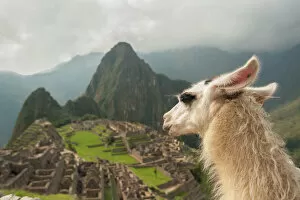
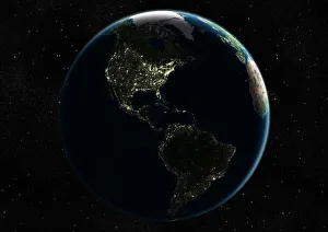
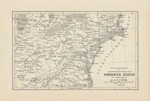
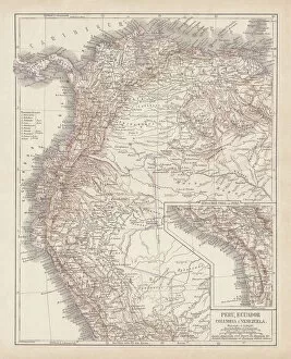
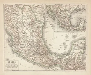
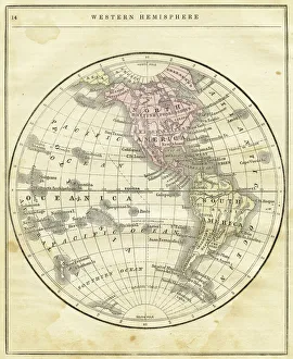
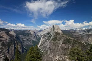
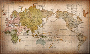
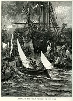
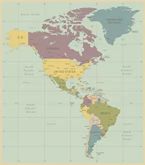
"The Americas: A Tapestry of Natural Wonders and Historical Significance" Embark on a journey through the captivating landscapes and rich history of the Americas, where every corner unveils a new adventure. From the majestic Nevis Peak in St. Kitts and Nevis to the towering Mount Nevis, this region is home to awe-inspiring volcanic formations that have shaped its unique topography. Immerse yourself in the vibrant tapestry of cultures found in the West Indies, nestled within the turquoise waters of the Caribbean. Explore their fascinating heritage as you navigate through an intricately detailed USA Road Map or delve into Saint Lucia's past with a 19th-century map that offers glimpses into bygone eras. Travel back in time with an Iowa 1852 Map or marvel at an Antique Map of Western USA, tracing early explorations across vast territories. Discover how our understanding of geography has evolved over centuries with maps like World map from 1520 or Map of the world according to Strabo from ancient times to more recent ones like Map of the world, 1720. Witness human ingenuity come alive through lithographs depicting Panama Canal Project published in 1880 - a testament to mankind's determination to connect continents and reshape global trade routes. Delve into nature's wonders with a detailed Map of Yellowstone National Park, USA, showcasing its breathtaking geothermal features and diverse wildlife. Finally, gaze upon a Caribbean map that showcases not only stunning coastlines but also highlights cultural diversity across nations. For an extraordinary perspective, explore South America at night through satellite imagery capturing twinkling city lights against darkened landscapes. The Americas beckon adventurers seeking both natural beauty and historical significance; it is a land where ancient traditions meet modern aspirations amidst breathtaking scenery. So grab your maps and embark on an unforgettable journey filled with wonderment.