
The Briars Collection
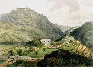
"The Briars: A Journey Through Time and Space" Step back in time to the early 19th century, specifically the year 1851


All Professionally Made to Order for Quick Shipping
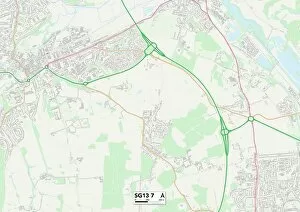
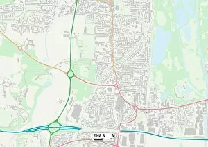
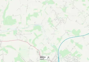
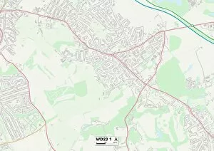
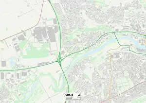
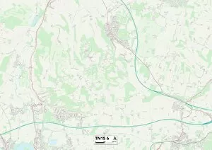
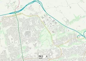
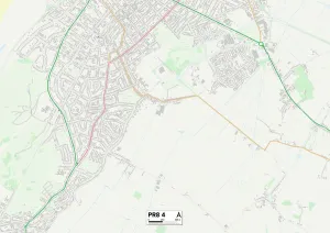
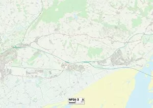
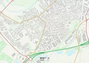
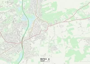
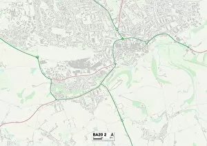
"The Briars: A Journey Through Time and Space" Step back in time to the early 19th century, specifically the year 1851, and immerse yourself in the captivating world of The Briars. This enchanting place is not just a company but a collection of locations that hold historical significance across various regions. Starting our journey in East Hertfordshire SG13 7 Map, we uncover the first glimpse of The Briars' allure. Nestled amidst picturesque landscapes, this location sets the stage for an unforgettable experience. As we move on to Slough SL3 8 Map, Enfield EN8 8 Map, Three Rivers WD3 6 Map, and Hertsmere WD23 1 Map, each stop reveals unique tales from different corners of England. Venturing further north into Shropshire SY12 0 Map and Sunderland SR5 3 Map, The Briars continues to captivate with its rich history. These places bear witness to significant events that shaped their communities during this era. Our expedition takes us westward towards Walsall WS9 8 Map before turning southwards into Sevenoaks TN15 6 Map. Here lies another hidden gem within The Briars' realm – a testament to its vast reach across diverse landscapes. As we conclude our journey through Staffordshire ST5 9Map and Preston PR2-9Map; it becomes evident that The Briars holds more than meets the eye. It symbolizes resilience and endurance throughout centuries while leaving an indelible mark on every place it touches. So come along as we unravel the mysteries surrounding these historic sites under The Briar's name. Let your imagination run wild as you explore these maps filled with stories waiting to be discovered at every turn. Experience history like never before - embark on a voyage through time and space with The Briars.