Fraud Blocker Skip to main content

The Chestnuts Collection

"The Chestnuts: A Journey Through Picturesque Locations" Embark on a visual adventure through the enchanting landscapes of "The Chestnuts

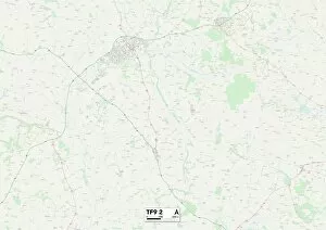
Background imageThe Chestnuts Collection: Shropshire TF9 2 Map

Shropshire TF9 2 Map
Postcode Sector Map of Shropshire TF9 2

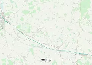
Background imageThe Chestnuts Collection: Ashford TN25 6 Map

Ashford TN25 6 Map
Postcode Sector Map of Ashford TN25 6

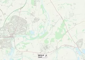
Background imageThe Chestnuts Collection: South Oxfordshire OX14 3 Map

South Oxfordshire OX14 3 Map
Postcode Sector Map of South Oxfordshire OX14 3

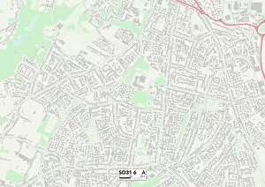
Background imageThe Chestnuts Collection: Eastleigh SO31 6 Map

Eastleigh SO31 6 Map
Postcode Sector Map of Eastleigh SO31 6

Background imageThe Chestnuts Collection: Shropshire SY5 6 Map

Shropshire SY5 6 Map
Postcode Sector Map of Shropshire SY5 6

Background imageThe Chestnuts Collection: North Hertfordshire SG4 8 Map

North Hertfordshire SG4 8 Map
Postcode Sector Map of North Hertfordshire SG4 8

Background imageThe Chestnuts Collection: East Hertfordshire SG11 1 Map

East Hertfordshire SG11 1 Map
Postcode Sector Map of East Hertfordshire SG11 1

Background imageThe Chestnuts Collection: East Hertfordshire SG13 8 Map

East Hertfordshire SG13 8 Map
Postcode Sector Map of East Hertfordshire SG13 8

Background imageThe Chestnuts Collection: South Oxfordshire RG9 3 Map

South Oxfordshire RG9 3 Map
Postcode Sector Map of South Oxfordshire RG9 3

Background imageThe Chestnuts Collection: Wakefield WF8 2 Map

Wakefield WF8 2 Map
Postcode Sector Map of Wakefield WF8 2

Background imageThe Chestnuts Collection: York YO32 2 Map

York YO32 2 Map
Postcode Sector Map of York YO32 2

Background imageThe Chestnuts Collection: Tunbridge Wells TN18 4 Map

Tunbridge Wells TN18 4 Map
Postcode Sector Map of Tunbridge Wells TN18 4

Background imageThe Chestnuts Collection: Mid Sussex RH16 2 Map

Mid Sussex RH16 2 Map
Postcode Sector Map of Mid Sussex RH16 2

Background imageThe Chestnuts Collection: Havering RM4 1 Map

Havering RM4 1 Map
Postcode Sector Map of Havering RM4 1

Background imageThe Chestnuts Collection: Rochford SS6 8 Map

Rochford SS6 8 Map
Postcode Sector Map of Rochford SS6 8

Background imageThe Chestnuts Collection: Vale of White Horse OX12 7 Map

Vale of White Horse OX12 7 Map
Postcode Sector Map of Vale of White Horse OX12 7

Background imageThe Chestnuts Collection: Cherwell OX5 3 Map

Cherwell OX5 3 Map
Postcode Sector Map of Cherwell OX5 3

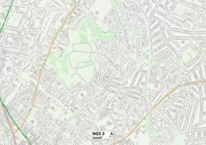
Background imageThe Chestnuts Collection: Gedling NG3 3 Map

Gedling NG3 3 Map
Postcode Sector Map of Gedling NG3 3

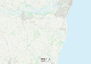
Background imageThe Chestnuts Collection: Suffolk NR34 7 Map

Suffolk NR34 7 Map
Postcode Sector Map of Suffolk NR34 7

Background imageThe Chestnuts Collection: Chorley PR7 4 Map

Chorley PR7 4 Map
Postcode Sector Map of Chorley PR7 4

Background imageThe Chestnuts Collection: Norfolk NR18 0 Map

Norfolk NR18 0 Map
Postcode Sector Map of Norfolk NR18 0

Background imageThe Chestnuts Collection: Erewash NG10 3 Map

Erewash NG10 3 Map
Postcode Sector Map of Erewash NG10 3

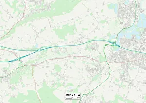
Background imageThe Chestnuts Collection: Tonbridge and Malling ME19 5 Map

Tonbridge and Malling ME19 5 Map
Postcode Sector Map of Tonbridge and Malling ME19 5

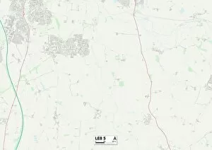
Background imageThe Chestnuts Collection: Leicester LE8 5 Map

Leicester LE8 5 Map
Postcode Sector Map of Leicester LE8 5

Background imageThe Chestnuts Collection: Ipswich IP2 9 Map

Ipswich IP2 9 Map
Postcode Sector Map of Ipswich IP2 9

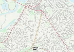
Background imageThe Chestnuts Collection: Elmbridge KT12 1 Map

Elmbridge KT12 1 Map
Postcode Sector Map of Elmbridge KT12 1

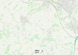
Background imageThe Chestnuts Collection: Dacorum HP3 0 Map

Dacorum HP3 0 Map
Postcode Sector Map of Dacorum HP3 0

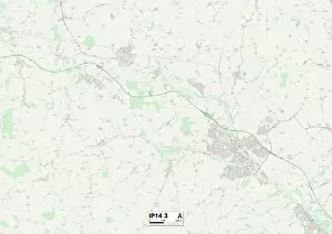
Background imageThe Chestnuts Collection: Mid Suffolk IP14 3 Map

Mid Suffolk IP14 3 Map
Postcode Sector Map of Mid Suffolk IP14 3

Background imageThe Chestnuts Collection: St Edmundsbury IP29 5 Map

St Edmundsbury IP29 5 Map
Postcode Sector Map of St Edmundsbury IP29 5

Background imageThe Chestnuts Collection: South Norfolk IP22 1 Map

South Norfolk IP22 1 Map
Postcode Sector Map of South Norfolk IP22 1

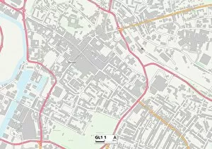
Background imageThe Chestnuts Collection: Gloucester GL1 1 Map

Gloucester GL1 1 Map
Postcode Sector Map of Gloucester GL1 1

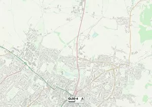
Background imageThe Chestnuts Collection: Tewkesbury GL50 4 Map

Tewkesbury GL50 4 Map
Postcode Sector Map of Tewkesbury GL50 4

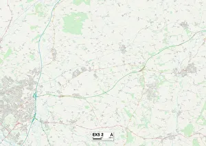
Background imageThe Chestnuts Collection: East Devon EX5 2 Map

East Devon EX5 2 Map
Postcode Sector Map of East Devon EX5 2

Background imageThe Chestnuts Collection: Wyre Forest DY11 7 Map

Wyre Forest DY11 7 Map
Postcode Sector Map of Wyre Forest DY11 7

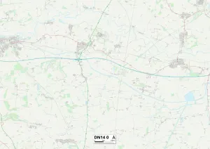
Background imageThe Chestnuts Collection: East Riding of Yorkshire DN14 0 Map

East Riding of Yorkshire DN14 0 Map
Postcode Sector Map of East Riding of Yorkshire DN14 0

Background imageThe Chestnuts Collection: North Lincolnshire DN38 6 Map

North Lincolnshire DN38 6 Map
Postcode Sector Map of North Lincolnshire DN38 6

Background imageThe Chestnuts Collection: Nuneaton & Bedworth CV12 0 Map

Nuneaton & Bedworth CV12 0 Map
Postcode Sector Map of Nuneaton & Bedworth CV12 0

Background imageThe Chestnuts Collection: Cheshire West and Chester CH64 1 Map

Cheshire West and Chester CH64 1 Map
Postcode Sector Map of Cheshire West and Chester CH64 1

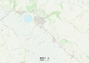
Background imageThe Chestnuts Collection: Somerset BS27 3 Map

Somerset BS27 3 Map
Postcode Sector Map of Somerset BS27 3

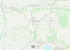
Background imageThe Chestnuts Collection: Somerset BS25 1 Map

Somerset BS25 1 Map
Postcode Sector Map of Somerset BS25 1

Background imageThe Chestnuts Collection: Cambridge CB22 7 Map

Cambridge CB22 7 Map
Postcode Sector Map of Cambridge CB22 7

Background imageThe Chestnuts Collection: Rhondda Cynon Taf CF72 8 Map

Rhondda Cynon Taf CF72 8 Map
Postcode Sector Map of Rhondda Cynon Taf CF72 8

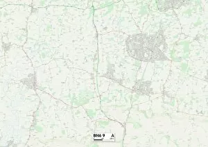
Background imageThe Chestnuts Collection: Lewes BN6 9 Map

Lewes BN6 9 Map
Postcode Sector Map of Lewes BN6 9

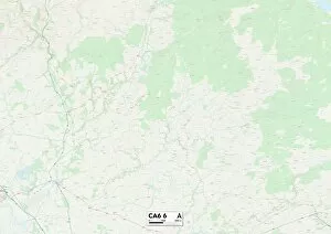
Background imageThe Chestnuts Collection: Carlisle CA6 6 Map

Carlisle CA6 6 Map
Postcode Sector Map of Carlisle CA6 6

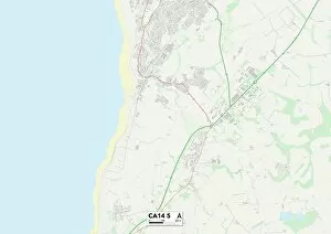
Background imageThe Chestnuts Collection: Allerdale CA14 5 Map

Allerdale CA14 5 Map
Postcode Sector Map of Allerdale CA14 5


All Professionally Made to Order for Quick Shipping

"The Chestnuts: A Journey Through Picturesque Locations" Embark on a visual adventure through the enchanting landscapes of "The Chestnuts. " From the idyllic countryside of Shropshire TF9 2 Map to the charming village of Ashford TN25 6 Map, this collection captures the essence of tranquility. Immerse yourself in the serene beauty of South Oxfordshire OX14 3 Map and experience nature's wonders. The sprawling green fields and meandering rivers will leave you in awe. Travel further south to Eastleigh SO31 6 Map, where vibrant gardens and blooming flowers paint a picture-perfect scene. Lose yourself amidst the fragrant blossoms as you explore this horticultural haven. Return to Shropshire SY5 6 Map, where rolling hills meet ancient woodlands. Take a leisurely stroll along winding paths surrounded by majestic trees, their branches reaching towards the sky. Venture eastward to North Hertfordshire SG4 8 Map and discover hidden gems nestled within quaint villages. Marvel at historic architecture that stands as a testament to centuries gone by. Continue your journey through East Hertfordshire SG11 1 Map and SG13 8 Map, where charming cottages line picturesque streets. Each corner reveals another delightful surprise waiting to be discovered. Indulge in South Oxfordshire RG9 3 Map's breathtaking scenery – from lush vineyards dotting the landscape to sun-kissed valleys that stretch as far as the eye can see. Nature's bounty is on full display here. Head northwards towards Wakefield WF8 2 Map for an encounter with rustic charm like no other. Explore traditional market towns brimming with character and immerse yourself in local culture. Finally, arrive at York YO32 2Map - a city steeped in history yet buzzing with modern energy. Wander through its cobbled streets lined with medieval buildings and immerse yourself in its vibrant atmosphere.