Fraud Blocker Skip to main content

The Crescent Collection (page 6)

"The Crescent: A Picturesque Gem in the Heart of England's Peak District National Park" Nestled in the charming town of Buxton, Derbyshire

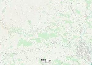
Background imageThe Crescent Collection: Perth and Kinross PH1 3 Map

Perth and Kinross PH1 3 Map
Postcode Sector Map of Perth and Kinross PH1 3

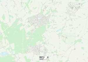
Background imageThe Crescent Collection: Berkshire RG7 3 Map

Berkshire RG7 3 Map
Postcode Sector Map of Berkshire RG7 3

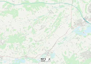
Background imageThe Crescent Collection: Berkshire RG7 5 Map

Berkshire RG7 5 Map
Postcode Sector Map of Berkshire RG7 5

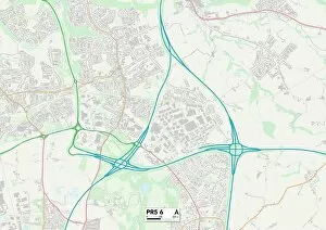
Background imageThe Crescent Collection: South Ribble PR5 6 Map

South Ribble PR5 6 Map
Postcode Sector Map of South Ribble PR5 6

Background imageThe Crescent Collection: Wokingham RG6 7 Map

Wokingham RG6 7 Map
Postcode Sector Map of Wokingham RG6 7

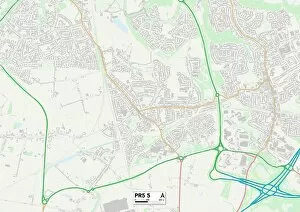
Background imageThe Crescent Collection: South Ribble PR5 5 Map

South Ribble PR5 5 Map
Postcode Sector Map of South Ribble PR5 5

Background imageThe Crescent Collection: Sussex PO21 4 Map

Sussex PO21 4 Map
Postcode Sector Map of Sussex PO21 4

Background imageThe Crescent Collection: Sussex PO20 8 Map

Sussex PO20 8 Map
Postcode Sector Map of Sussex PO20 8

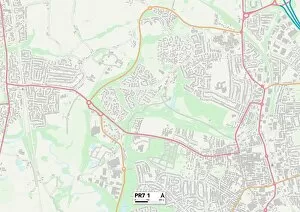
Background imageThe Crescent Collection: Chorley PR7 1 Map

Chorley PR7 1 Map
Postcode Sector Map of Chorley PR7 1

Background imageThe Crescent Collection: Sussex PO22 7 Map

Sussex PO22 7 Map
Postcode Sector Map of Sussex PO22 7

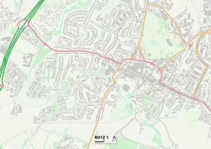
Background imageThe Crescent Collection: Horsham RH12 1 Map

Horsham RH12 1 Map
Postcode Sector Map of Horsham RH12 1

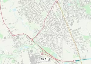
Background imageThe Crescent Collection: Crawley RH6 7 Map

Crawley RH6 7 Map
Postcode Sector Map of Crawley RH6 7

Background imageThe Crescent Collection: Blaenau Gwent NP23 4 Map

Blaenau Gwent NP23 4 Map
Postcode Sector Map of Blaenau Gwent NP23 4

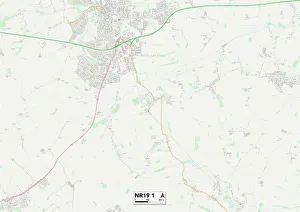
Background imageThe Crescent Collection: Norfolk NR19 1 Map

Norfolk NR19 1 Map
Postcode Sector Map of Norfolk NR19 1

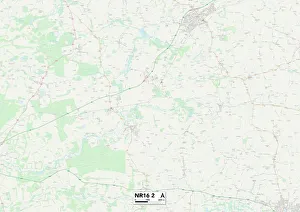
Background imageThe Crescent Collection: Norfolk NR16 2 Map

Norfolk NR16 2 Map
Postcode Sector Map of Norfolk NR16 2

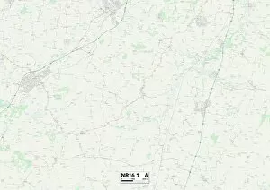
Background imageThe Crescent Collection: Norfolk NR16 1 Map

Norfolk NR16 1 Map
Postcode Sector Map of Norfolk NR16 1

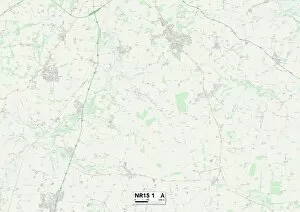
Background imageThe Crescent Collection: Norfolk NR15 1 Map

Norfolk NR15 1 Map
Postcode Sector Map of Norfolk NR15 1

Background imageThe Crescent Collection: Norfolk NR14 6 Map

Norfolk NR14 6 Map
Postcode Sector Map of Norfolk NR14 6

Background imageThe Crescent Collection: Norfolk NR9 3 Map

Norfolk NR9 3 Map
Postcode Sector Map of Norfolk NR9 3

Background imageThe Crescent Collection: Norfolk NR8 6 Map

Norfolk NR8 6 Map
Postcode Sector Map of Norfolk NR8 6

Background imageThe Crescent Collection: South Kesteven NG33 5 Map

South Kesteven NG33 5 Map
Postcode Sector Map of South Kesteven NG33 5

Background imageThe Crescent Collection: South Kesteven NG33 4 Map

South Kesteven NG33 4 Map
Postcode Sector Map of South Kesteven NG33 4

Background imageThe Crescent Collection: Nottingham NG5 4 Map

Nottingham NG5 4 Map
Postcode Sector Map of Nottingham NG5 4

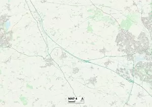
Background imageThe Crescent Collection: Daventry NN7 4 Map

Daventry NN7 4 Map
Postcode Sector Map of Daventry NN7 4

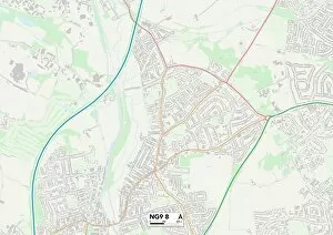
Background imageThe Crescent Collection: Broxtowe NG9 8 Map

Broxtowe NG9 8 Map
Postcode Sector Map of Broxtowe NG9 8

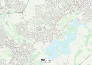
Background imageThe Crescent Collection: Broxtowe NG9 6 Map

Broxtowe NG9 6 Map
Postcode Sector Map of Broxtowe NG9 6

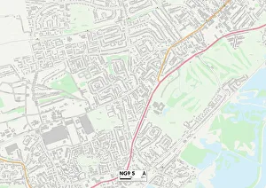
Background imageThe Crescent Collection: Broxtowe NG9 5 Map

Broxtowe NG9 5 Map
Postcode Sector Map of Broxtowe NG9 5

Background imageThe Crescent Collection: South Kesteven NG32 2 Map

South Kesteven NG32 2 Map
Postcode Sector Map of South Kesteven NG32 2

Background imageThe Crescent Collection: Newark and Sherwood NG24 4 Map

Newark and Sherwood NG24 4 Map
Postcode Sector Map of Newark and Sherwood NG24 4

Background imageThe Crescent Collection: Daventry NN7 2 Map

Daventry NN7 2 Map
Postcode Sector Map of Daventry NN7 2

Background imageThe Crescent Collection: East Northamptonshire NN10 9 Map

East Northamptonshire NN10 9 Map
Postcode Sector Map of East Northamptonshire NN10 9

Background imageThe Crescent Collection: Wellingborough NN9 6 Map

Wellingborough NN9 6 Map
Postcode Sector Map of Wellingborough NN9 6

Background imageThe Crescent Collection: Daventry NN3 7 Map

Daventry NN3 7 Map
Postcode Sector Map of Daventry NN3 7

Background imageThe Crescent Collection: Northampton NN1 4 Map

Northampton NN1 4 Map
Postcode Sector Map of Northampton NN1 4

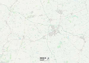
Background imageThe Crescent Collection: North Kesteven NG34 8 Map

North Kesteven NG34 8 Map
Postcode Sector Map of North Kesteven NG34 8

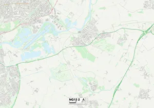
Background imageThe Crescent Collection: Rushcliffe NG12 2 Map

Rushcliffe NG12 2 Map
Postcode Sector Map of Rushcliffe NG12 2

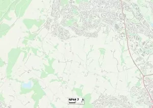
Background imageThe Crescent Collection: Torfaen NP44 7 Map

Torfaen NP44 7 Map
Postcode Sector Map of Torfaen NP44 7

Background imageThe Crescent Collection: Norfolk NR2 1 Map

Norfolk NR2 1 Map
Postcode Sector Map of Norfolk NR2 1

Background imageThe Crescent Collection: Manchester M19 3 Map

Manchester M19 3 Map
Postcode Sector Map of Manchester M19 3

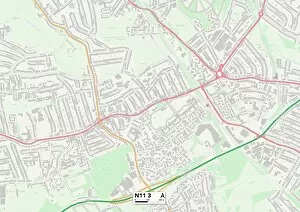
Background imageThe Crescent Collection: Enfield N11 3 Map

Enfield N11 3 Map
Postcode Sector Map of Enfield N11 3

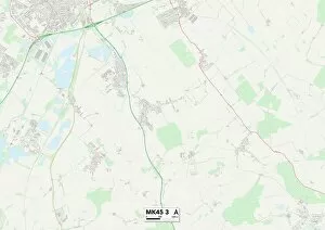
Background imageThe Crescent Collection: Bedford MK45 3 Map

Bedford MK45 3 Map
Postcode Sector Map of Bedford MK45 3

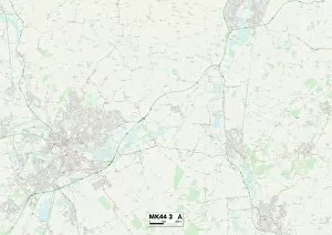
Background imageThe Crescent Collection: Bedford MK44 3 Map

Bedford MK44 3 Map
Postcode Sector Map of Bedford MK44 3

Background imageThe Crescent Collection: Bedford MK43 9 Map

Bedford MK43 9 Map
Postcode Sector Map of Bedford MK43 9

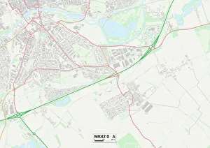
Background imageThe Crescent Collection: Bedford MK42 0 Map

Bedford MK42 0 Map
Postcode Sector Map of Bedford MK42 0

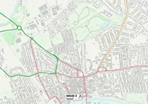
Background imageThe Crescent Collection: Bedford MK40 2 Map

Bedford MK40 2 Map
Postcode Sector Map of Bedford MK40 2

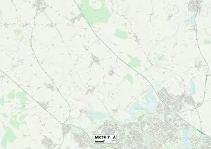
Background imageThe Crescent Collection: Aylesbury Vale MK19 7 Map

Aylesbury Vale MK19 7 Map
Postcode Sector Map of Aylesbury Vale MK19 7

Background imageThe Crescent Collection: Northumberland NE23 7 Map

Northumberland NE23 7 Map
Postcode Sector Map of Northumberland NE23 7

Background imageThe Crescent Collection: North Tyneside NE30 2 Map

North Tyneside NE30 2 Map
Postcode Sector Map of North Tyneside NE30 2


All Professionally Made to Order for Quick Shipping

"The Crescent: A Picturesque Gem in the Heart of England's Peak District National Park" Nestled in the charming town of Buxton, Derbyshire, lies a hidden treasure known as The Crescent. This idyllic location is surrounded by breathtaking landscapes that are part of the stunning Peak District National Park. With its rich history and diverse attractions, it offers something for everyone. From exploring the Scottish Borders TD11 3 Map to discovering the beauty of Wyre FY7 7 Map and Cheshire East SK10 4 Map, this area is a haven for nature enthusiasts. For those seeking cultural experiences, The Crescent does not disappoint. Leeds LS16 6 Map and Leeds LS17 7 Map offer vibrant city life with an array of shops, restaurants, and entertainment options. Meanwhile, BL Bolton BL3 1 showcases architectural marvels that will transport you back in time. Venturing beyond England's borders, we find ourselves captivated by Victorian Terraced Houses at The Crescent in Cobh, County Cork, Ireland. Here visitors can immerse themselves in Irish charm while admiring historic architecture. As dawn breaks over Cobh's skyline, witness an awe-inspiring sight - St. Colman's Cathedral standing tall alongside The Crescent at sunrise. This elevated view provides a glimpse into Ireland's rich heritage and natural beauty. The allure extends further still; Wolverhampton WV6 8 Map boasts its own unique character while York YO19 6 Map and North Yorkshire YO14 9 Map offer endless opportunities for exploration within their picturesque surroundings. Whether you seek tranquility amidst nature or crave vibrant city life steeped in history and culture – look no further than The Crescent, and is a place where dreams come alive against a backdrop of unparalleled beauty.