Fraud Blocker Skip to main content

Victoria Road Collection (page 9)

Discover the charm and diversity of Victoria Road

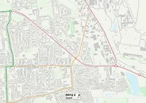
Background imageVictoria Road Collection: North Lincolnshire DN16 2 Map

North Lincolnshire DN16 2 Map
Postcode Sector Map of North Lincolnshire DN16 2

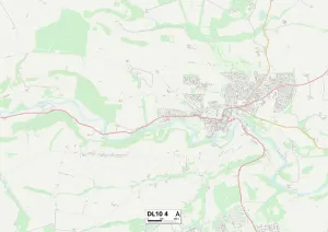
Background imageVictoria Road Collection: North Yorkshire DL10 4 Map

North Yorkshire DL10 4 Map
Postcode Sector Map of North Yorkshire DL10 4

Background imageVictoria Road Collection: Dumfriesshire DG2 7 Map

Dumfriesshire DG2 7 Map
Postcode Sector Map of Dumfriesshire DG2 7

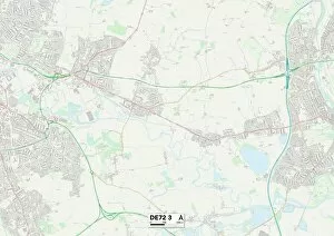
Background imageVictoria Road Collection: Erewash DE72 3 Map

Erewash DE72 3 Map
Postcode Sector Map of Erewash DE72 3

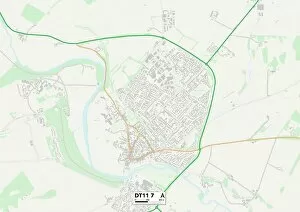
Background imageVictoria Road Collection: North Dorset DT11 7 Map

North Dorset DT11 7 Map
Postcode Sector Map of North Dorset DT11 7

Background imageVictoria Road Collection: West Dorset DT1 1 Map

West Dorset DT1 1 Map
Postcode Sector Map of West Dorset DT1 1

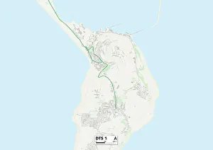
Background imageVictoria Road Collection: Weymouth and Portland DT5 1 Map

Weymouth and Portland DT5 1 Map
Postcode Sector Map of Weymouth and Portland DT5 1

Background imageVictoria Road Collection: North East Lincolnshire DN41 8 Map

North East Lincolnshire DN41 8 Map
Postcode Sector Map of North East Lincolnshire DN41 8

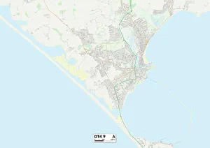
Background imageVictoria Road Collection: Weymouth and Portland DT4 9 Map

Weymouth and Portland DT4 9 Map
Postcode Sector Map of Weymouth and Portland DT4 9

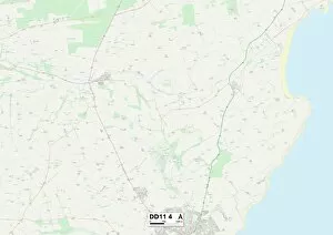
Background imageVictoria Road Collection: Angus DD11 4 Map

Angus DD11 4 Map
Postcode Sector Map of Angus DD11 4

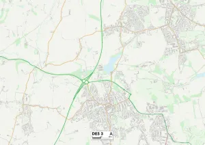
Background imageVictoria Road Collection: Amber Valley DE5 3 Map

Amber Valley DE5 3 Map
Postcode Sector Map of Amber Valley DE5 3

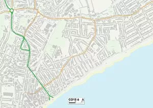
Background imageVictoria Road Collection: Tendring CO15 6 Map

Tendring CO15 6 Map
Postcode Sector Map of Tendring CO15 6

Background imageVictoria Road Collection: Tendring CO14 8 Map

Tendring CO14 8 Map
Postcode Sector Map of Tendring CO14 8

Background imageVictoria Road Collection: Tendring CO16 9 Map

Tendring CO16 9 Map
Postcode Sector Map of Tendring CO16 9

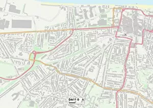
Background imageVictoria Road Collection: Gravesham DA11 0 Map

Gravesham DA11 0 Map
Postcode Sector Map of Gravesham DA11 0

Background imageVictoria Road Collection: Bexley DA8 3 Map

Bexley DA8 3 Map
Postcode Sector Map of Bexley DA8 3

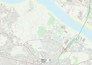
Background imageVictoria Road Collection: Dartford DA1 5 Map

Dartford DA1 5 Map
Postcode Sector Map of Dartford DA1 5

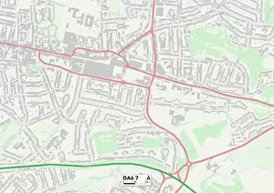
Background imageVictoria Road Collection: Bexley DA6 7 Map

Bexley DA6 7 Map
Postcode Sector Map of Bexley DA6 7

Background imageVictoria Road Collection: Doncaster DN6 0 Map

Doncaster DN6 0 Map
Postcode Sector Map of Doncaster DN6 0

Background imageVictoria Road Collection: Doncaster DN5 0 Map

Doncaster DN5 0 Map
Postcode Sector Map of Doncaster DN5 0

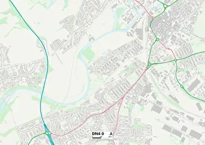
Background imageVictoria Road Collection: Doncaster DN4 0 Map

Doncaster DN4 0 Map
Postcode Sector Map of Doncaster DN4 0

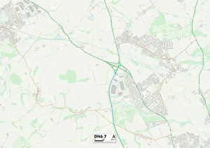
Background imageVictoria Road Collection: Doncaster DN6 7 Map

Doncaster DN6 7 Map
Postcode Sector Map of Doncaster DN6 7

Background imageVictoria Road Collection: County Durham DL12 8 Map

County Durham DL12 8 Map
Postcode Sector Map of County Durham DL12 8

Background imageVictoria Road Collection: Dumfriesshire DG12 6 Map

Dumfriesshire DG12 6 Map
Postcode Sector Map of Dumfriesshire DG12 6

Background imageVictoria Road Collection: Dumfriesshire DG11 2 Map

Dumfriesshire DG11 2 Map
Postcode Sector Map of Dumfriesshire DG11 2

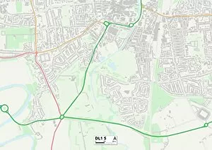
Background imageVictoria Road Collection: Darlington DL1 5 Map

Darlington DL1 5 Map
Postcode Sector Map of Darlington DL1 5

Background imageVictoria Road Collection: County Durham DH8 5 Map

County Durham DH8 5 Map
Postcode Sector Map of County Durham DH8 5

Background imageVictoria Road Collection: Wirral CH48 3 Map

Wirral CH48 3 Map
Postcode Sector Map of Wirral CH48 3

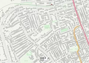
Background imageVictoria Road Collection: Wirral CH45 9 Map

Wirral CH45 9 Map
Postcode Sector Map of Wirral CH45 9

Background imageVictoria Road Collection: Nuneaton & Bedworth CV10 0 Map

Nuneaton & Bedworth CV10 0 Map
Postcode Sector Map of Nuneaton & Bedworth CV10 0

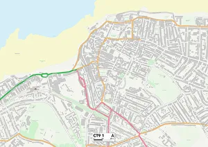
Background imageVictoria Road Collection: Kent CT9 1 Map

Kent CT9 1 Map
Postcode Sector Map of Kent CT9 1

Background imageVictoria Road Collection: Warwick CV31 3 Map

Warwick CV31 3 Map
Postcode Sector Map of Warwick CV31 3

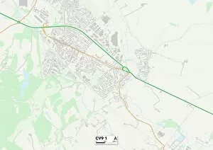
Background imageVictoria Road Collection: North Warwickshire CV9 1 Map

North Warwickshire CV9 1 Map
Postcode Sector Map of North Warwickshire CV9 1

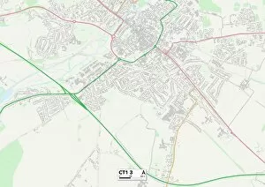
Background imageVictoria Road Collection: Kent CT1 3 Map

Kent CT1 3 Map
Postcode Sector Map of Kent CT1 3

Background imageVictoria Road Collection: Croydon CR5 2 Map

Croydon CR5 2 Map
Postcode Sector Map of Croydon CR5 2

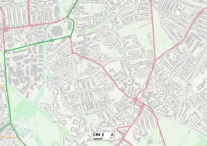
Background imageVictoria Road Collection: Merton CR4 3 Map

Merton CR4 3 Map
Postcode Sector Map of Merton CR4 3

Background imageVictoria Road Collection: Fife DD6 9 Map

Fife DD6 9 Map
Postcode Sector Map of Fife DD6 9

Background imageVictoria Road Collection: Dundee DD5 1 Map

Dundee DD5 1 Map
Postcode Sector Map of Dundee DD5 1

Background imageVictoria Road Collection: Dundee DD1 2 Map

Dundee DD1 2 Map
Postcode Sector Map of Dundee DD1 2

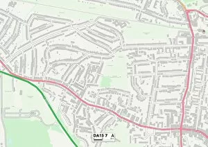
Background imageVictoria Road Collection: Bexley DA15 7 Map

Bexley DA15 7 Map
Postcode Sector Map of Bexley DA15 7

Background imageVictoria Road Collection: Cardiff CF14 1 Map

Cardiff CF14 1 Map
Postcode Sector Map of Cardiff CF14 1

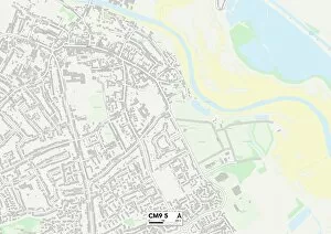
Background imageVictoria Road Collection: Maldon CM9 5 Map

Maldon CM9 5 Map
Postcode Sector Map of Maldon CM9 5

Background imageVictoria Road Collection: Cheshire West and Chester CH64 4 Map

Cheshire West and Chester CH64 4 Map
Postcode Sector Map of Cheshire West and Chester CH64 4

Background imageVictoria Road Collection: Wirral CH63 8 Map

Wirral CH63 8 Map
Postcode Sector Map of Wirral CH63 8

Background imageVictoria Road Collection: Kent CT21 6 Map

Kent CT21 6 Map
Postcode Sector Map of Kent CT21 6

Background imageVictoria Road Collection: Kent CT14 8 Map

Kent CT14 8 Map
Postcode Sector Map of Kent CT14 8

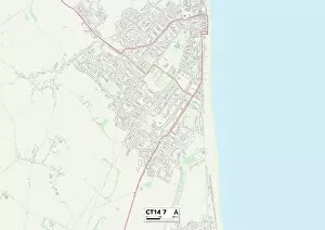
Background imageVictoria Road Collection: Kent CT14 7 Map

Kent CT14 7 Map
Postcode Sector Map of Kent CT14 7

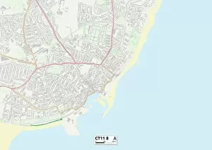
Background imageVictoria Road Collection: Kent CT11 8 Map

Kent CT11 8 Map
Postcode Sector Map of Kent CT11 8


All Professionally Made to Order for Quick Shipping

Discover the charm and diversity of Victoria Road. ⚽🏟️ Nestled in Dagenham, this vibrant street is home to the iconic Victoria Road Stadium, where football enthusiasts gather to cheer on their beloved Dagenham and Redbridge FC. The electric atmosphere here is unmatched. But Victoria Road has more than just sports excitement to offer. 🌟 Step back in time as you visit Christ Church, a stunning architectural gem located on Victoria Road in Kensington. Admire its intricate engravings and soak in the peaceful ambiance that surrounds it. Venturing further afield, explore the various neighborhoods connected by Victoria Road. From Enfield's EN4 9 Map to Ealing's W5 1 Map, each area boasts its own unique character and attractions. Whether you're seeking historical landmarks or modern amenities, there's something for everyone along this bustling thoroughfare. For nature lovers, Halton WA8 7 Map offers picturesque landscapes perfect for leisurely strolls or picnics with loved ones. Meanwhile, Brentwood CM14 5 Map beckons with its charming countryside views that will transport you away from the hustle and bustle of city life. If adventure calls your name, set your sights on Orkney Islands KW15 1 Map - an enchanting destination brimming with ancient history and breathtaking scenery. Marvel at Neolithic sites like Skara Brae or take a scenic drive along winding coastal roads surrounded by rugged beauty. Closer to home lies Wolverhampton WV10 0 Map and Wolverhampton WV11 1 Map – two vibrant areas offering an array of shopping opportunities, cultural experiences, and lively entertainment options that will keep you entertained day after day. Further south awaits Stockton-on-Tees TS19 7 Map – a town steeped in industrial heritage yet embracing modern developments. Explore its rich history while enjoying riverside walks or indulging in delicious local cuisine.