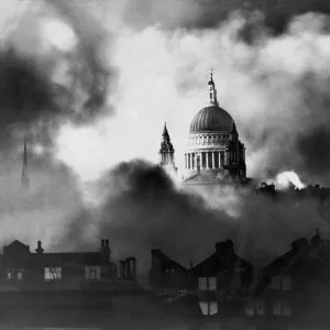
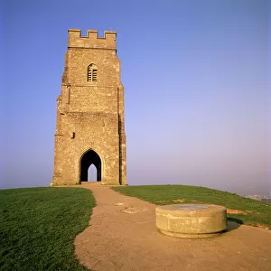
Home > Historic > Medieval architecture > Towers and city walls > City walls history
2684512

![]()
Wall Art and Photo Gifts from Heritage Images
2684512
Heritage Images features heritage image collections
Media ID 15206290
FEATURES IN THESE COLLECTIONS
> Architecture
> Towers
> Churches
> Arts
> Photorealistic artworks
> Detailed art pieces
> Masterful detailing in art
> Europe
> France
> Sport
> Sailing
> Historic
> Medieval architecture
> Towers and city walls
> City walls history
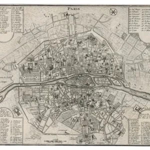
> Maps and Charts
> Early Maps
> Maps and Charts
> Related Images
> Religious Art
> Religious Architecture
> Churches and Cathedrals
VISUAL DESCRIPTION
This is a detailed, colored map or illustration of the city of Saint Malo. At the top center, the title "SAINT MALO" is prominently displayed in an ornate script. Above it to the left, there's a coat of arms with a crown and a shield adorned with fleur-de-lis symbols and what appears to be an ermine pattern, which are traditional symbols associated with Brittany in France. The main part of the image features an intricate bird's-eye view depiction of Saint Malo as a fortified coastal town surrounded by walls and towers. Numerous buildings within these walls have red-tiled roofs and several church spires rise above them indicating places of worship. In the surrounding sea, various sailing ships are depicted in detail—some close to shore while others are further out at sea—illustrating maritime activity that suggests trade or fishing as significant aspects of life in Saint Malo during this time period. In the foreground on land at bottom right corner, people can be seen engaging in daily activities near two large vessels—one being constructed or repaired on dry dock—and another fully rigged ship anchored nearby. A grandly decorated bell-shaped object stands next to these figures; its purpose isn't immediately clear but could represent some form of ceremonial bell or buoy used for navigational purposes. Below this scene runs text which seems like descriptive information about Saint Malo possibly providing historical context or details about its significance during that era; however, without closer inspection or translation (if not written in English), specific content remains uncertain from this distance. Overall, this image captures both artistic beauty and cartographic detail reflecting how maps were also works of art historically while serving practical navigation and record-keeping functions.
MADE IN AUSTRALIA
Safe Shipping with 30 Day Money Back Guarantee
FREE PERSONALISATION*
We are proud to offer a range of customisation features including Personalised Captions, Color Filters and Picture Zoom Tools
SECURE PAYMENTS
We happily accept a wide range of payment options so you can pay for the things you need in the way that is most convenient for you
* Options may vary by product and licensing agreement. Zoomed Pictures can be adjusted in the Cart.