Fraud Blocker Skip to main content

Home > Historic > Space exploration

Space exploration Collection (page 7)

3,627 items

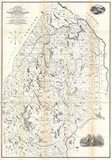
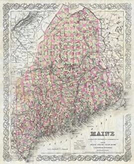
Background imageSpace exploration Collection: 1894 Colton Map Of Maine Topography Cartography

1894 Colton Map Of Maine Topography Cartography
1894, Colton Map of Maine

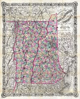
Background imageSpace exploration Collection: 1892 Colton Pocket Map Of Vermont And New Hampshire

1892 Colton Pocket Map Of Vermont And New Hampshire
1892, Colton Pocket Map of Vermont and New Hampshire

Background imageSpace exploration Collection: 1890 Hachette Map Of Antarctica Topography Cartography

1890 Hachette Map Of Antarctica Topography Cartography
1890, Hachette Map of Antarctica

Background imageSpace exploration Collection: 1890 View Map Of Boston Habor From Boston To Cape Cod And Provincetown

1890 View Map Of Boston Habor From Boston To Cape Cod And Provincetown
1890, View Map of Boston Habor from Boston to Cape Cod and Provincetown

Background imageSpace exploration Collection: 1886 Telescopic View And Map Of The Moon Topography

1886 Telescopic View And Map Of The Moon Topography
1886, Telescopic View and Map of the Moon

Background imageSpace exploration Collection: 1888 Topographic Survey Map Of The United States

1888 Topographic Survey Map Of The United States
1888, Topographic Survey Map of the United States

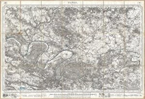
Background imageSpace exploration Collection: 1886 Depot De La Guerre Pocket Map Of Paris And Environs

1886 Depot De La Guerre Pocket Map Of Paris And Environs
1886, Depot de la Guerre Pocket Map of Paris and Environs

Background imageSpace exploration Collection: 1883 U.S.G.S. Map Of The Island Of Hawaii Topography

1883 U.S.G.S. Map Of The Island Of Hawaii Topography
1883, U.S.G.S. Map of the Island of Hawaii

Background imageSpace exploration Collection: 1884 Drew Pocket Map Of Florida Topography Cartography

1884 Drew Pocket Map Of Florida Topography Cartography
1884, Drew Pocket Map of Florida

Background imageSpace exploration Collection: 1881 Thomas Sedgwick Steele Map Of Maine Topography

1881 Thomas Sedgwick Steele Map Of Maine Topography
1881, Thomas Sedgwick Steele Map of Maine

Background imageSpace exploration Collection: 1883 U.S.G.S. Map Of The Hawaiian Islands Topography

1883 U.S.G.S. Map Of The Hawaiian Islands Topography
1883, U.S.G.S. Map of the Hawaiian Islands

Background imageSpace exploration Collection: 1891 Long Island Railroad Real Estate Map Of Long Island

1891 Long Island Railroad Real Estate Map Of Long Island
1891, Long Island Railroad Real Estate Map of Long Island

Background imageSpace exploration Collection: Guilmin Map Of Paris France Monuments Topography

Guilmin Map Of Paris France Monuments Topography
Guilmin Map of Paris, France, Monuments

Background imageSpace exploration Collection: 1910 U.S. Coast Survey Nautical Chart Or Map Of New York City And Harbor

1910 U.S. Coast Survey Nautical Chart Or Map Of New York City And Harbor
1910, U.S. Coast Survey Nautical Chart or Map of New York City and Harbor

Background imageSpace exploration Collection: 1907 Geological Survey Map Of San Francisco Peninsula After 1906 Earthquake

1907 Geological Survey Map Of San Francisco Peninsula After 1906 Earthquake
1907, Geological Survey Map of San Francisco Peninsula after 1906 Earthquake

Background imageSpace exploration Collection: 1907 Geological Survey Map Of San Francisco After 1906 Earthquake

1907 Geological Survey Map Of San Francisco After 1906 Earthquake
1907, Geological Survey Map of San Francisco after 1906 Earthquake

Background imageSpace exploration Collection: 1904 Clason Map Or View Of The Gilpin Colorado Gold And Mineral Belt

1904 Clason Map Or View Of The Gilpin Colorado Gold And Mineral Belt
1904, Clason Map or View of the Gilpin Colorado Gold and Mineral Belt

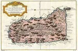
Background imageSpace exploration Collection: 1758 Bellin Map Of Saint Lucia Sainte Lucie West Indies

1758 Bellin Map Of Saint Lucia Sainte Lucie West Indies
1758, Bellin Map of Saint Lucia, Sainte Lucie, West Indies

Background imageSpace exploration Collection: Norbegia And Gottia Topography Cartography Geography

Norbegia And Gottia Topography Cartography Geography
Norbegia and Gottia

Background imageSpace exploration Collection: 1874 Mitchell Map Of Pennsylvania Topography

1874 Mitchell Map Of Pennsylvania Topography
1874, Mitchell Map of Pennsylvania

Background imageSpace exploration Collection: 1874 Ludlow And Custer Map Of The Black Hills

1874 Ludlow And Custer Map Of The Black Hills
1874, Ludlow and Custer Map of The Black Hills

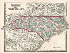
Background imageSpace exploration Collection: 1874 Gray Map Of North Carolina Topography Cartography

1874 Gray Map Of North Carolina Topography Cartography
1874, Gray Map of North Carolina

Background imageSpace exploration Collection: 1873 U.S. Coast Survey Map Of The Delta Of The Mississippi River

1873 U.S. Coast Survey Map Of The Delta Of The Mississippi River
1873, U.S. Coast Survey Map of the Delta of the Mississippi River

Background imageSpace exploration Collection: 1873 U.S. Coast Survey Chart Or Map Of The Chesapeake Bay And Delaware Bay

1873 U.S. Coast Survey Chart Or Map Of The Chesapeake Bay And Delaware Bay
1873, U.S. Coast Survey Chart or Map of the Chesapeake Bay and Delaware Bay

Background imageSpace exploration Collection: 1873 U.S. Coast Survey Chart Or Map Of The Carolina Coast

1873 U.S. Coast Survey Chart Or Map Of The Carolina Coast
1873, U.S. Coast Survey Chart or Map of the Carolina Coast

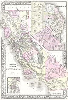
Background imageSpace exploration Collection: 1881 Mitchell Map Of California W- San Francisco Inset

1881 Mitchell Map Of California W- San Francisco Inset
1881, Mitchell Map of California w- San Francisco Inset

Background imageSpace exploration Collection: 1873 Gray Railroad Map Of Minnesota And Iowa

1873 Gray Railroad Map Of Minnesota And Iowa
1873, Gray Railroad Map of Minnesota and Iowa

Background imageSpace exploration Collection: 1873 U.S. Coast Survey Chart Or Map Of New Jersey And The Delaware Bay

1873 U.S. Coast Survey Chart Or Map Of New Jersey And The Delaware Bay
1873, U.S. Coast Survey Chart or Map of New Jersey and the Delaware Bay

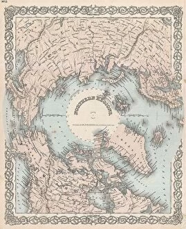
Background imageSpace exploration Collection: 1873 Colton Map Of The Arctic Or North Pole Topography

1873 Colton Map Of The Arctic Or North Pole Topography
1873, Colton Map of the Arctic or North Pole

Background imageSpace exploration Collection: 1873 Beers Map Of New York State Topography Cartography

1873 Beers Map Of New York State Topography Cartography
1873, Beers Map of New York State

Background imageSpace exploration Collection: 1873 Beers Map Of New York City Topography Cartography

1873 Beers Map Of New York City Topography Cartography
1873, Beers Map of New York City

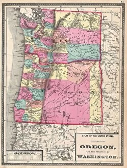
Background imageSpace exploration Collection: 1872 Walling Map Of Washington And Oregon Topography

1872 Walling Map Of Washington And Oregon Topography
1872, Walling Map of Washington and Oregon

Background imageSpace exploration Collection: 1873 A. And C. Black Map Or Chart Of The Solar System

1873 A. And C. Black Map Or Chart Of The Solar System
1873, A. and C. Black Map or Chart of the Solar System

Background imageSpace exploration Collection: 1872 Mitchell Map Of Cuba And The Bahamas Topography

1872 Mitchell Map Of Cuba And The Bahamas Topography
1872, Mitchell Map of Cuba and the Bahamas

Background imageSpace exploration Collection: 1872 Mitchell Map Of Utah And Nevada Topography

1872 Mitchell Map Of Utah And Nevada Topography
1872, Mitchell Map of Utah and Nevada

Background imageSpace exploration Collection: 1880 Perthes Stieler Map Of The Moon Topography

1880 Perthes Stieler Map Of The Moon Topography
1880, Perthes, Stieler Map of the Moon

Background imageSpace exploration Collection: 1880s Meiji Japanese Folding Map Of Japan Topography

1880s Meiji Japanese Folding Map Of Japan Topography
1880s Meiji Japanese Folding Map of Japan

Background imageSpace exploration Collection: 1880 Colton Pocket Map Of Long Island Topography

1880 Colton Pocket Map Of Long Island Topography
1880, Colton Pocket Map of Long Island

Background imageSpace exploration Collection: 1877 U.S. Coast Survey Map Or Chart Of Boston Bay And Harbor

1877 U.S. Coast Survey Map Or Chart Of Boston Bay And Harbor
1877, U.S. Coast Survey Map or Chart of Boston Bay and Harbor

Background imageSpace exploration Collection: 1878 Adams Monumental Illustrated Panorama Of History

1878 Adams Monumental Illustrated Panorama Of History
1878, Adams Monumental Illustrated Panorama of History

Background imageSpace exploration Collection: 1874 Mitchell Map Of Russia Topography Cartography

1874 Mitchell Map Of Russia Topography Cartography
1874, Mitchell Map of Russia

Background imageSpace exploration Collection: 1874 Johnson Map Of Missouri And Kansas Topography

1874 Johnson Map Of Missouri And Kansas Topography
1874, Johnson Map of Missouri and Kansas

Background imageSpace exploration Collection: 1877 U.S. Coast Survey Map Of Long Island And New York City

1877 U.S. Coast Survey Map Of Long Island And New York City
1877, U.S. Coast Survey Map of Long Island and New York City

Background imageSpace exploration Collection: 1877 Mitchell Map Of Vermont And New Hampshire

1877 Mitchell Map Of Vermont And New Hampshire
1877, Mitchell Map of Vermont and New Hampshire

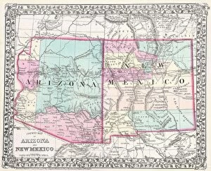
Background imageSpace exploration Collection: 1877 Mitchell Map Of Arizona And New Mexico Topography

1877 Mitchell Map Of Arizona And New Mexico Topography
1877, Mitchell Map of Arizona and New Mexico

Background imageSpace exploration Collection: 1875 U.S. Coast Survey Chart Or Map Of The Carolina Coast

1875 U.S. Coast Survey Chart Or Map Of The Carolina Coast
1875, U.S. Coast Survey Chart or Map of the Carolina Coast

Background imageSpace exploration Collection: 1876 Colton Railroad Pocket Map Of New York State

1876 Colton Railroad Pocket Map Of New York State
1876, Colton Railroad Pocket Map of New York State

Background imageSpace exploration Collection: 1874 Mitchell Map Of Iowa And Missouri Topography

1874 Mitchell Map Of Iowa And Missouri Topography
1874, Mitchell Map of Iowa and Missouri


All Professionally Made to Order for Quick Shipping


-

Why Choose Us?

We are a leading provider of Art Prints and Photo Gifts since 2003, working in partnership with a range of Sporting Clubs, Charities, Museums and Picture Libraries. A large share of profits from any of their images will go directly towards supporting that charity or club. Our archive of images is carefully curated to bring you a wide range of subjects, including landscapes, wildlife, architecture, and more. We ship from our partner labs in the UK, USA, EU (Netherlands) and Australia.
+

How do I place an order?

Ordering is quick & easy - Just follow 5 Simple Steps:
  1. Find your image: Use our search box or browse our online photo Collections to find the image you want.

  2. Choose your print format: Select your desired product and add it to your cart.

  3. Enter your details: If you're a returning customer, simply enter your email address and password, and we'll fill in your billing and shipping address details. All personal details are held securely and are fully GDPR compliant. As standard, we remove all Personally Identifiable Information after 12 months.

  4. Pay for your purchase: We use state-of-the-art security for online shopping and do not have access to your card details.

  5. Sit back and relax: We'll email you confirmation of your order and when it's dispatched. Registered customers can also track orders in the 'My Account' area.

+

How do I pay for an order?

You can pay for your order with most of the major credit and debit cards, or PayPal. For added security, major financial institutions process payment details separately and securely on our behalf. We do not have access to your online payment card details. Online payments are preferred however we do take phone orders. For UK customers only we accept cheques issued against a UK bank.
+

Is my data safe?

We take data security very seriously. We do not have access to your full card details and all payments are requested over a fully secure connection. Additionally, we fully comply with current European and GDPR legislation, and automatically remove all personal data after at most 12 months (unless you have an account with us and have signed in recently). We also have a strict opt-in policy and would never sell your personal details. Your data is only used to fulfill your order promptly and efficiently.
+

Is wall art ready to hang?

For quick and easy installation all wall art, including framed prints, canvas prints and metal prints are supplied with a ready to hang solution on the back. Generally, saw tooth hangers are applied as they allow wall art to hang flush against the wall. The serrated edge of the hanger prevents the frame from shifting or tilting when hung.
+

Are the photo prints fade resistant?

Yes, we use archival quality photo paper photographic paper for vivid reproduction Prints are an accurate representations of the original artwork, which is preserved for artistic character and authenticity. We guarantee they match previews shown on our web site