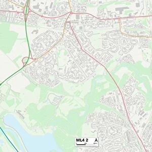
Home > Europe > United Kingdom > England > Birmingham > Area > Castle Vale
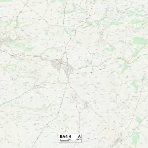
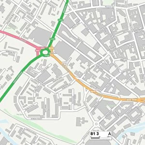
Birmingham B35 7 Map

![]()
Wall Art and Photo Gifts from Map Marketing
Birmingham B35 7 Map
Postcode Sector Map of Birmingham B35 7
Media ID 19964972
Beale Close Birmingham Blenheim Way Davenport Drive Dixon Close Farnborough Road High Street Hurricane Way Kestrel Close Lancaster Drive Langley Drive Lysander Way Merlin Close Pioneer Way School Close Spitfire Way Viscount Close Viscount Drive Wellington Way Castle Bromwich
FEATURES IN THESE COLLECTIONS
> Map Marketing
> Postcode Sector Maps
> B - Birmingham
> Arts
> Portraits
> Pop art gallery
> Street art portraits
> Europe
> United Kingdom
> England
> Birmingham
> Area
> Castle Vale
> Europe
> United Kingdom
> Northern Ireland
> County Down
> Newcastle
> Maps and Charts
> Related Images
> Transportation
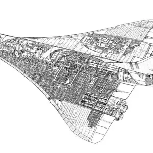
> Aeroplanes
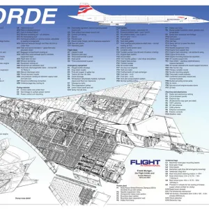
> Concorde
> Transportation
> Aeroplanes
> Hawker Hurricane
MADE IN AUSTRALIA
Safe Shipping with 30 Day Money Back Guarantee
FREE PERSONALISATION*
We are proud to offer a range of customisation features including Personalised Captions, Color Filters and Picture Zoom Tools
SECURE PAYMENTS
We happily accept a wide range of payment options so you can pay for the things you need in the way that is most convenient for you
* Options may vary by product and licensing agreement. Zoomed Pictures can be adjusted in the Cart.