Home > Europe > United Kingdom > Scotland > Dumfries and Galloway > Newbridge Drive
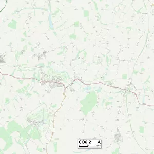
Colchester CO6 3 Map

![]()
Wall Art and Photo Gifts from Map Marketing
Colchester CO6 3 Map
Postcode Sector Map of Colchester CO6 3
Media ID 19967610
Albany Close Albany Road Blind Lane Bourne Road Bridge Hill Brook Road Cedar Court Chapel Lane Chapel Road Church Close Church Grove Church Road Colchester Colchester Road Crabtree Lane Farm Drive Ford Street Fordham Road Foxes Lane Granville Close Green Lane Hall Road Halstead Road Hardings Close Heathside Henderson Place Lodge Court Lucas Avenue Main Road Manor Road Mill Hill Mill Road Moat Road Moss Way Nayland Road New Road Oak Close Old Church Lane Partridge Drive Queens Road Rectory Road School Lane Shire Lane Spring Lane Sunnyside Road The Avenue The Chase The Crescent The Retreat The Rise Upton Close Valley View White Hart Lane Whitehouse Lane Fordham
FEATURES IN THESE COLLECTIONS
> Map Marketing
> Postcode Sector Maps
> CO - Colchester
> Animals
> Birds
> Phasianidae
> Hill Partridge
> Arts
> Artists
> H
> Harding Harding
> Arts
> Portraits
> Pop art gallery
> Street art portraits
> Asia
> Turkey
> Related Images
> Europe
> United Kingdom
> Scotland
> Dumfries and Galloway
> Newbridge Drive
> Maps and Charts
> Related Images
MADE IN AUSTRALIA
Safe Shipping with 30 Day Money Back Guarantee
FREE PERSONALISATION*
We are proud to offer a range of customisation features including Personalised Captions, Color Filters and Picture Zoom Tools
SECURE PAYMENTS
We happily accept a wide range of payment options so you can pay for the things you need in the way that is most convenient for you
* Options may vary by product and licensing agreement. Zoomed Pictures can be adjusted in the Cart.