Home > Europe > United Kingdom > England > Derbyshire > Ashbourne
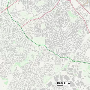
Derbyshire Dales DE6 4 Map

![]()
Wall Art and Photo Gifts from Map Marketing
Derbyshire Dales DE6 4 Map
Postcode Sector Map of Derbyshire Dales DE6 4
Media ID 19968793
Adams Road Ashbourne Road Barrington Close Church Lane Derbyshire Dales Green Lane Highfield Lane Lodge Lane Long Lane Moor Lane New Road Slade Lane The Green Thompson Close
FEATURES IN THESE COLLECTIONS
> Map Marketing
> Postcode Sector Maps
> DE - Derby
> Europe
> United Kingdom
> England
> Derbyshire
> Ashbourne
> Europe
> United Kingdom
> England
> Derbyshire
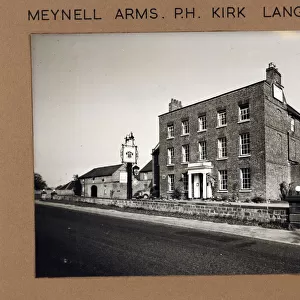
> Kirk Langley
> Europe
> United Kingdom
> England
> Derbyshire
> Lane End
> Europe
> United Kingdom
> England
> Derbyshire
> Langley
> Europe
> United Kingdom
> England
> Derbyshire
> Related Images
> Maps and Charts
> Related Images
MADE IN AUSTRALIA
Safe Shipping with 30 Day Money Back Guarantee
FREE PERSONALISATION*
We are proud to offer a range of customisation features including Personalised Captions, Color Filters and Picture Zoom Tools
SECURE PAYMENTS
We happily accept a wide range of payment options so you can pay for the things you need in the way that is most convenient for you
* Options may vary by product and licensing agreement. Zoomed Pictures can be adjusted in the Cart.