Home > Animals > Fishes > E > Eel
Doncaster DN10 5 Map

![]()
Wall Art and Photo Gifts from Map Marketing
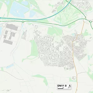
Doncaster DN10 5 Map
Postcode Sector Map of Doncaster DN10 5
Media ID 19968574
Abbey Mews Abbey Road Ashfield Court Bader Close Bawtry Road Brewery Lane Broomfield Lane Broomhill Lane Carr Road Chapel Lane Church Street Croft Way Cross Lane Cunningham Close Dene Close Doncaster Ferry Lane Gainsborough Road Green Lane Hall View High Street Keyes Close Long Meadows Main Street Mill Lane Pasture Lane Pine Close Pinfold Lane Plantation Drive Retford Road River Lane Rock Lane Roe Lane The Willows Thorpe Road Wavell Close Wilson Close Windyridge Wood Lane Everton Harwell
FEATURES IN THESE COLLECTIONS
> Arts
> Artists
> W
> Wilson Wilson
> Arts
> Landscape paintings
> Waterfall and river artworks
> River artworks
> Arts
> Portraits
> Pop art gallery
> Street art portraits
> Map Marketing
> Postcode Sector Maps
> DN - Doncaster
> Maps and Charts
> Related Images
MADE IN AUSTRALIA
Safe Shipping with 30 Day Money Back Guarantee
FREE PERSONALISATION*
We are proud to offer a range of customisation features including Personalised Captions, Color Filters and Picture Zoom Tools
SECURE PAYMENTS
We happily accept a wide range of payment options so you can pay for the things you need in the way that is most convenient for you
* Options may vary by product and licensing agreement. Zoomed Pictures can be adjusted in the Cart.