Home > Europe > United Kingdom > Wales > Pembrokeshire > Pembroke
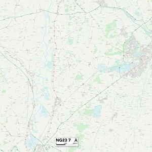
Sheffield S35 3 Map

![]()
Wall Art and Photo Gifts from Map Marketing
Sheffield S35 3 Map
Postcode Sector Map of Sheffield S35 3
Media ID 19978922
Beechwood Road Brook Road Charlton Drive Greengate Lane Greenwood Road Griffiths Road Hawthorn Road Lane End Miles Road Newton Road School Road Sheffield Shepherd Drive Valley Road Vickers Road
FEATURES IN THESE COLLECTIONS
> Map Marketing
> Postcode Sector Maps
> S - Sheffield
> Europe
> United Kingdom
> Wales
> Pembrokeshire
> Pembroke
> Maps and Charts
> Related Images
MADE IN AUSTRALIA
Safe Shipping with 30 Day Money Back Guarantee
FREE PERSONALISATION*
We are proud to offer a range of customisation features including Personalised Captions, Color Filters and Picture Zoom Tools
SECURE PAYMENTS
We happily accept a wide range of payment options so you can pay for the things you need in the way that is most convenient for you
* Options may vary by product and licensing agreement. Zoomed Pictures can be adjusted in the Cart.