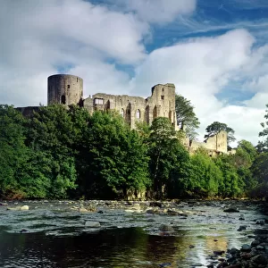
Home > Europe > United Kingdom > England > Durham > Durham
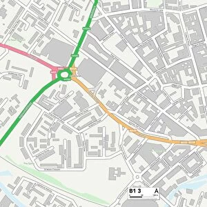
Sandwell B65 0 Map

![]()
Wall Art and Photo Gifts from Map Marketing
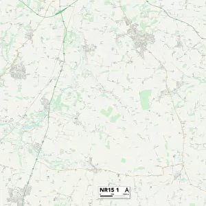
Sandwell B65 0 Map
Postcode Sector Map of Sandwell B65 0
Media ID 19965417
Avenue Road Beeches Road Bond Street Boundary Avenue Canterbury Close Castle Close Chichester Drive Coombe Hill Cross Street Downing Close Durham Road Ely Close George Avenue Harper Close Heath Street High Street Highfield Crescent Highfield Road Hillside Avenue Holly Road John Street Long Lane Market Place Matthews Close Minster Close Mount Road Nash Close Oldbury Road Park Hill Park Street Pear Tree Court Pear Tree Drive Penn Road Sandwell Short Street Station Road Terrace Street Truro Close Union Street Walton Avenue Wells Road West Street Winchester Close Yewtree Lane York Road Blackheath Mincing Lane
FEATURES IN THESE COLLECTIONS
> Animals
> Mammals
> Muridae
> Heath Mouse
> Arts
> Artists
> F
> John Field
> Arts
> Artists
> H
> John Hillers
> Arts
> Artists
> H
> John Hills
> Arts
> Artists
> T
> John Thomson
> Arts
> Artists
> W
> Frank Weller
> Arts
> Portraits
> Pop art gallery
> Street art portraits
> Europe
> United Kingdom
> England
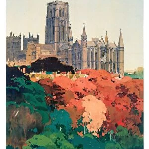
> Durham
> Durham
> Europe
> United Kingdom
> Heritage Sites
> Durham Castle and Cathedral
> Map Marketing
> Postcode Sector Maps
> B - Birmingham
> Maps and Charts
> Related Images
MADE IN AUSTRALIA
Safe Shipping with 30 Day Money Back Guarantee
FREE PERSONALISATION*
We are proud to offer a range of customisation features including Personalised Captions, Color Filters and Picture Zoom Tools
SECURE PAYMENTS
We happily accept a wide range of payment options so you can pay for the things you need in the way that is most convenient for you
* Options may vary by product and licensing agreement. Zoomed Pictures can be adjusted in the Cart.