Home > Europe > United Kingdom > England > London > Boroughs > Wandsworth
Wandsworth SW11 5 Map

![]()
Wall Art and Photo Gifts from Map Marketing
Wandsworth SW11 5 Map
Postcode Sector Map of Wandsworth SW11 5
Media ID 19978552
Audley Close Austin Road Birley Street Brougham Street Burns Road Caroline Place Dunston Road Garfield Road Henley Street Holden Street Kingsley Street Knowsley Road Lavender Hill Marmion Road Morrison Street Nansen Road Newtown Street Rawson Street Reform Street Sheepcote Lane Sw11 Theatre Street Thirsk Road Wandsworth Wycliffe Road Ashley Crescent
FEATURES IN THESE COLLECTIONS
> Map Marketing
> Postcode Sector Maps
> SW - London SW
> Arts
> Artists
> P
> Francis Place
> Arts
> Portraits
> Pop art gallery
> Street art portraits
> Europe
> United Kingdom
> England
> London
> Boroughs
> Wandsworth
> Europe
> United Kingdom
> Scotland
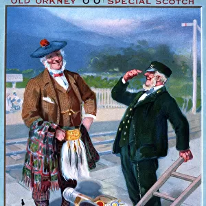
> Orkney
> Europe
> United Kingdom
> Scotland
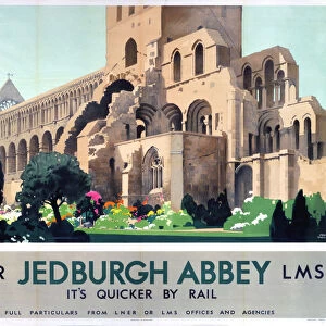
> Scottish Borders
> Jedburgh
> Europe
> United Kingdom
> Wales
> Powys
> Newtown
> Maps and Charts
> Related Images
MADE IN AUSTRALIA
Safe Shipping with 30 Day Money Back Guarantee
FREE PERSONALISATION*
We are proud to offer a range of customisation features including Personalised Captions, Color Filters and Picture Zoom Tools
SECURE PAYMENTS
We happily accept a wide range of payment options so you can pay for the things you need in the way that is most convenient for you
* Options may vary by product and licensing agreement. Zoomed Pictures can be adjusted in the Cart.