Home > Europe > United Kingdom > Scotland > Strathclyde > Prestwick
York YO26 5 Map

![]()
Wall Art and Photo Gifts from Map Marketing
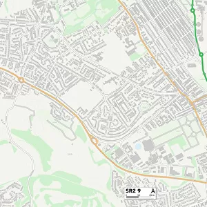
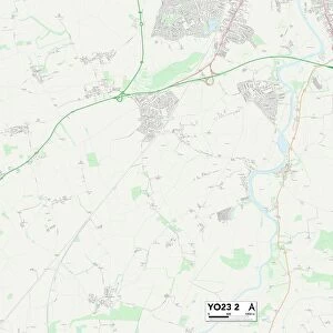
York YO26 5 Map
Postcode Sector Map of York YO26 5
Media ID 19980636
Barlow Street Beech Grove Birkdale Grove Bramham Road Briar Avenue Bridle Way Broad Lane Carnoustie Close Carr Lane Chapel Fields Chestnut Grove Church Gate Church Mews Cranbrook Avenue Cranbrook Road Garden Court Garden Way Glebe Avenue Grange Lane Kirk View Malvern Avenue Marston Avenue Meeting House Lane Monarch Way Mowbray Drive Newlands Drive Norman Drive Parker Avenue Priors Walk Ridgeway Rosedale Avenue Saxon Court Sherwood Grove Shirley Avenue Sunningdale Close The Green Troon Close Turnberry Drive Viking Road Walton Place Wetherby Road Woodlea Grove York
FEATURES IN THESE COLLECTIONS
> Map Marketing
> Postcode Sector Maps
> YO - York
> Animals
> Mammals
> Muridae
> House Mouse
> Arts
> Portraits
> Pop art gallery
> Street art portraits
> Europe
> United Kingdom
> Scotland
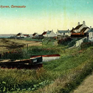
> Angus
> Carnoustie
> Europe
> United Kingdom
> Scotland
> Strathclyde
> Prestwick
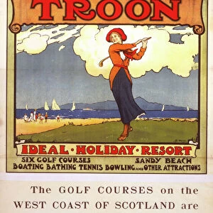
> Europe
> United Kingdom
> Scotland
> Strathclyde
> Troon
> Maps and Charts
> Related Images
MADE IN AUSTRALIA
Safe Shipping with 30 Day Money Back Guarantee
FREE PERSONALISATION*
We are proud to offer a range of customisation features including Personalised Captions, Color Filters and Picture Zoom Tools
SECURE PAYMENTS
We happily accept a wide range of payment options so you can pay for the things you need in the way that is most convenient for you
* Options may vary by product and licensing agreement. Zoomed Pictures can be adjusted in the Cart.