Canvas Print > Animals > Mammals > Muridae > Desert Mouse
Canvas Print : MAP / AFRICA / SAHARA 1719


![]()
Canvas Prints from Mary Evans Picture Library
MAP / AFRICA / SAHARA 1719
Map of the Sahara Desert with Nubia, part of Egypt and part of Abyssinia Date: 1719
Mary Evans Picture Library makes available wonderful images created for people to enjoy over the centuries
Media ID 20153843
© Bubblepunk
1719 Abyssinia Desert Maps Nubia Sahara
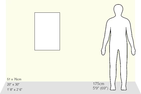
30"x20" (76x51cm) Canvas Print
Bring the enchanting allure of ancient maps into your home with Media Storehouse's Canvas Prints. This captivating piece, featuring the intricately detailed 1719 map of the Sahara Desert from Mary Evans Prints Online, transports you back in time. Explore the vast expanse of the Sahara, as it was known in the early 18th century, with Nubia, Egypt, and Abyssinia clearly marked. Each canvas print is meticulously crafted using premium materials and high-definition printing techniques, ensuring a stunningly vibrant and lifelike representation of this historical cartography. Elevate your decor and ignite your imagination with this beautiful addition to your living space.
Delivered stretched and ready to hang our premium quality canvas prints are made from a polyester/cotton blend canvas and stretched over a 1.25" (32mm) kiln dried knot free wood stretcher bar. Packaged in a plastic bag and secured to a cardboard insert for safe transit.
Canvas Prints add colour, depth and texture to any space. Professionally Stretched Canvas over a hidden Wooden Box Frame and Ready to Hang
Estimated Product Size is 50.8cm x 76.2cm (20" x 30")
These are individually made so all sizes are approximate
Artwork printed orientated as per the preview above, with portrait (vertical) orientation to match the source image.
FEATURES IN THESE COLLECTIONS
> Africa
> Egypt
> Related Images
> Africa
> Related Images
> Animals
> Mammals
> Muridae
> Desert Mouse
> Maps and Charts
> Related Images
> Mary Evans Prints Online
> Egypt
> Mary Evans Prints Online
> New Images July 2020
EDITORS COMMENTS
This intriguing map print, dated 1719, offers a fascinating glimpse into the geographical knowledge of the Sahara Desert during the early modern period. Titled "Africa," the map primarily focuses on the central Sahara region, highlighting various territories and features that were known at the time. The map includes the expansive Sahara Desert, stretching from the Atlantic Ocean in the west to the Red Sea in the east. The desert is depicted in browns and beiges, contrasting sharply with the greens and blues representing the Nile River and its tributaries. The map also shows the northernmost reaches of the desert, where the Sahara transitions into the Mediterranean climate of Egypt. Nubia, an ancient African civilization located along the Nile River, is depicted in the eastern part of the map. The region is shown as a series of distinct territories, each with its name inscribed in Latin script. To the north of Nubia lies Egypt, represented in greater detail, with the Nile River winding through the fertile valley and the major cities of Alexandria, Cairo, and Memphis clearly marked. In the easternmost part of the map, the land of Abyssinia, or modern-day Ethiopia, is shown as a large, mountainous region. The map includes several notable features, such as the Blue Nile and the Tana River, which were essential sources of water for the ancient civilizations in the region. This map, produced in 1719, offers a valuable window into the geographical knowledge of the Sahara Desert and its surrounding regions during the early modern period. Its intricate details and accurate representation of known territories make it an essential resource for scholars and historians studying the history of Africa during this time.
MADE IN AUSTRALIA
Safe Shipping with 30 Day Money Back Guarantee
FREE PERSONALISATION*
We are proud to offer a range of customisation features including Personalised Captions, Color Filters and Picture Zoom Tools
SECURE PAYMENTS
We happily accept a wide range of payment options so you can pay for the things you need in the way that is most convenient for you
* Options may vary by product and licensing agreement. Zoomed Pictures can be adjusted in the Cart.