Canvas Print : Times War Atlas - WWI maps


![]()
Canvas Prints from Mary Evans Picture Library
Times War Atlas - WWI maps
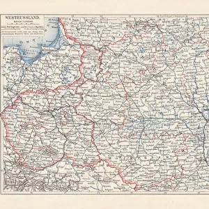
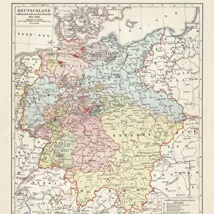
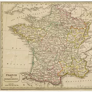
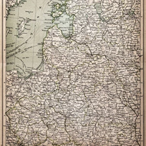
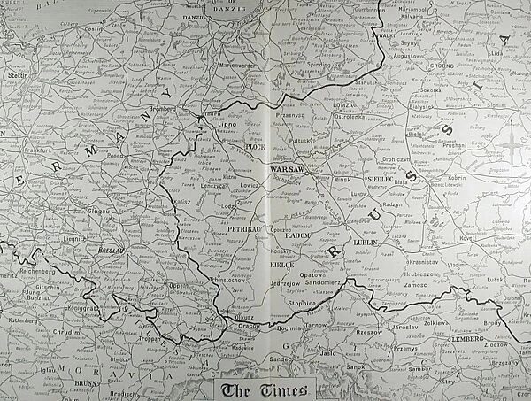
The Times War Atlas. The atlas contains the following loose maps - 1) Map of the North Sea. 2) Map of the frontiers of France. 3) Map of the North Eastern Theatre of War. 4) Map of the Balkans. 5) Map of the main fortresses of the Western Campaign. 6) Map of the World showing the possessions of the British Empire, France, Germany and her colonies. 7) Map of the area of the European War. 8) War Atlas Gazeteer. 9) Times War Maps which include Poland, Austro-Montenegrin Frontier and the Austro-Italian Frontier. 10) Map of the Western Campaign. 11) Map of Paris and environs. Also includes two copies of The Times Monthly Review of the War dated Wednesday 1st September 1915 and Monday 1st November 1915. Book
Mary Evans Picture Library makes available wonderful images created for people to enjoy over the centuries
Media ID 14153700
© David Cohen Fine Art/Mary Evans Picture Library
Area Atlas Austro Balkans Campaign Colonies Fortresses Frontier Frontiers Include Loose Main Maps Montenegrin Poland Possessions Times Gazeteer
20"x16" (51x41cm) Canvas Print
Delivered stretched and ready to hang our premium quality canvas prints are made from a polyester/cotton blend canvas and stretched over a 1.25" (32mm) kiln dried knot free wood stretcher bar. Packaged in a plastic bag and secured to a cardboard insert for safe transit.
Canvas Prints add colour, depth and texture to any space. Professionally Stretched Canvas over a hidden Wooden Box Frame and Ready to Hang
Estimated Product Size is 50.8cm x 40.6cm (20" x 16")
These are individually made so all sizes are approximate
Artwork printed orientated as per the preview above, with landscape (horizontal) orientation to match the source image.
MADE IN AUSTRALIA
Safe Shipping with 30 Day Money Back Guarantee
FREE PERSONALISATION*
We are proud to offer a range of customisation features including Personalised Captions, Color Filters and Picture Zoom Tools
SECURE PAYMENTS
We happily accept a wide range of payment options so you can pay for the things you need in the way that is most convenient for you
* Options may vary by product and licensing agreement. Zoomed Pictures can be adjusted in the Cart.