
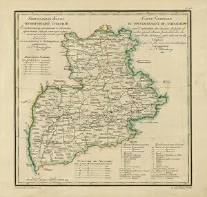
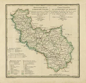
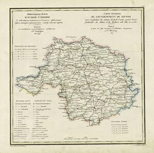
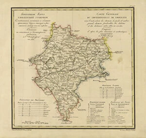
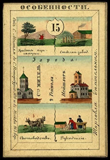
Maps Collection
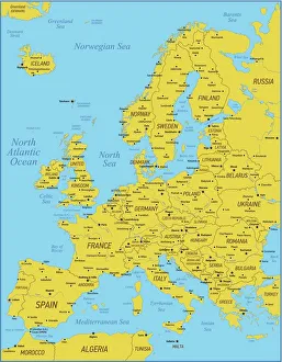
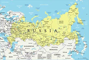
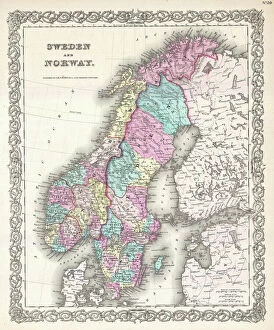
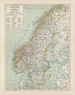
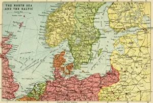
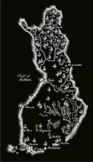
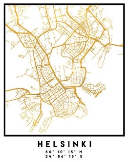
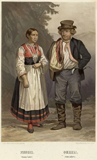
Finland is a country located in Northern Europe, bordered by Sweden to the west, Norway to the north and Russia to the east
Choose a picture from our Maps Collection for your Wall Art and Photo Gifts
139 items


All Professionally Made to Order for Quick Shipping
-
Maps Collection
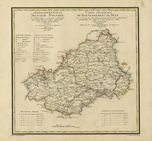
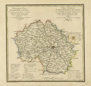
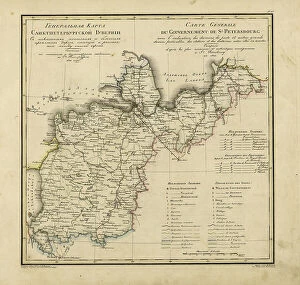
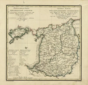
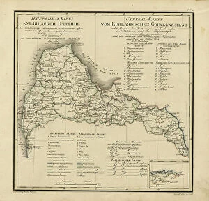
Finland is a country located in Northern Europe, bordered by Sweden to the west, Norway to the north and Russia to the east. Finland is known for its stunning natural beauty, with vast forests and thousands of lakes. Maps of Finland are important tools for navigating this beautiful country. They provide detailed information about roads, cities, towns and villages as well as topographical features such as mountains, rivers and lakes. They also show national parks and other protected areas that are home to unique wildlife species. In addition to physical maps of Finland, there are also political maps which outline the various provinces within the country as well as international borders with neighbouring countries. With these maps in hand it's easy to explore all that Finland has to offer.
+
Our beautiful pictures are available as Framed Prints, Photos, Wall Art and Photo Gifts
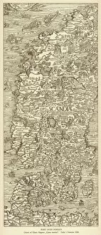
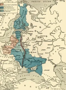
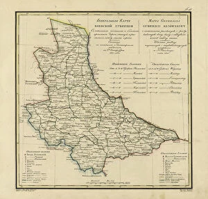
The Maps of Finland Europe collection from Media Storehouse is a stunning compilation of vintage and contemporary maps that showcase the beauty and diversity of Finland. Our collection includes a range of maps, from detailed topographical charts to colorful political maps, each capturing different aspects of this Nordic country's geography, history, and culture. Our collection features works by renowned cartographers such as Gerard Mercator and Abraham Ortelius alongside modern-day artists who have reimagined the Finnish landscape in their own unique styles. These high-quality prints are perfect for anyone interested in exploring Finland's rich heritage or simply looking for beautiful wall art to adorn their home or office space. Whether you're an avid traveler, history buff, or just appreciate fine artistry, the Maps of Finland Europe collection has something for everyone. With its wide selection of sizes and framing options available through Media Storehouse, it's easy to find the perfect piece to suit your needs and style preferences.
+
What are Maps of Finland Europe art prints?
Maps of Finland Europe art prints are high-quality reproductions of maps that depict the geography and topography of Finland, a country located in Northern Europe. These art prints showcase the intricate details and features of Finland's landscape, including its lakes, rivers, forests, mountains, and cities. These maps can be used for decorative purposes in homes or offices or as educational tools for students studying geography or history. They provide a unique perspective on the land and culture of Finland and can help to spark curiosity about this fascinating country. We offer a wide selection of Maps of Finland Europe art prints in various sizes and styles to suit different preferences. Whether you prefer vintage-style maps or modern interpretations with bold colors and graphics, there is something for everyone. These art prints are printed on high-quality paper using state-of-the-art printing technology to ensure that they look stunning when displayed on your wall.
+
What Maps of Finland Europe art prints can I buy from Media Storehouse?
We offer a wide range of Maps of Finland Europe art prints that are perfect for anyone looking to decorate their home or office with beautiful and unique artwork. These maps showcase the stunning geography and topography of Finland, highlighting its lakes, forests, mountains, and cities in intricate detail. Some of the most popular Maps of Finland Europe art prints available from Media Storehouse include vintage-style maps that offer a glimpse into the country's history and culture. Other options include contemporary designs that feature bold colors and modern typography. Whether you're a fan of traditional map-making techniques or prefer more abstract interpretations, there is sure to be a print that suits your taste at Media Storehouse. With high-quality printing on premium paper stock, these maps make excellent gifts for friends and family members who love travel or have an interest in geography.
+
How do I buy Maps of Finland Europe art prints?
To buy Maps of Finland Europe art prints from Media Storehouse, you can browse our extensive collection of artwork online. We offer a variety of sizes and framing options to suit your preferences. Simply search for the desired map print on our website and select the size and frame that best suits your needs. Once you have made your selection, proceed to checkout where you will be prompted to enter your payment details. After completing the transaction, Media Storehouse will process your order and prepare it for shipping. You can expect high-quality prints with vivid colors that are sure to enhance any room in which they are displayed. Whether you're looking for a unique piece of wall art or a thoughtful gift for someone special, Maps of Finland Europe art prints from Media Storehouse are an excellent choice.
+
How much do Maps of Finland Europe art prints cost?
We offer a range of Maps of Finland Europe art prints at varying prices. The cost depends on the size and type of print that you choose. We have a selection of high-quality paper prints available in different sizes to suit your needs and budget. Our paper prints are perfect for framing or displaying as they are. We also offer canvas prints which provide a more durable and long-lasting option for those looking to display their artwork without the need for framing. These come in various sizes too, so you can find one that fits perfectly in your space. Our Maps of Finland Europe art prints make great gifts or additions to any home or office decor. They showcase the beauty and intricacy of these maps while providing an interesting conversation piece for visitors. With our wide range of options, there is sure to be something that catches your eye.
+
How will my Maps of Finland Europe art prints be delivered to me?
We take great care in delivering your Maps of Finland Europe art prints to you. We use high-quality packaging materials to ensure that your artwork arrives in perfect condition. Your print will be carefully rolled and placed inside a sturdy tube for protection during transit. We work with trusted shipping partners who provide reliable and efficient delivery services. Once your order has been dispatched, you will receive an email notification with tracking information so that you can monitor the progress of your delivery. Our aim is to deliver your Maps of Finland Europe art prints as quickly as possible while ensuring they arrive in pristine condition. If you have any questions or concerns about the delivery process, please don't hesitate to contact our customer service team who will be happy to assist you.