Home > Arts > Artists > M > Megalithic
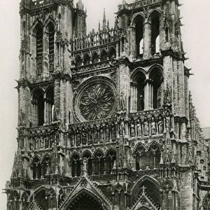
Carte de la region parisienne aux premiers ages prehistoriques (engraving)
")
![]()
Wall Art and Photo Gifts from Fine Art Finder
Carte de la region parisienne aux premiers ages prehistoriques (engraving)
7179740 Carte de la region parisienne aux premiers ages prehistoriques (engraving) by French School, (19th century); Private Collection; (add.info.: Carte de la region parisienne aux premiers ages prehistoriques. Illustration for L Habitation Humaine by Charles Garnier and A Ammann (Hachette, 1892).); © Look and Learn
Media ID 24729312
© Look and Learn / Bridgeman Images
Antedeluvian City Map City Of Paris City Plan General Map Habitations Human Person Living Lodgings Megalithic Palaeolithic Pre Dynastic Age Pre History Prehistoric Prehistory Primeval Row Housing Seine Et Oise Street Plan Suburban Houses Dwelling Places
FEATURES IN THESE COLLECTIONS
> Animals
> Mammals
> Muridae
> House Mouse
> Arts
> Artists
> M
> Megalithic
> Arts
> Artists
> W
> Charles White
> Europe
> France
> Canton
> Oise
> Europe
> France
> Paris
> Maps
> Europe
> France
> Paris
> Related Images
> Fine Art Finder
> Artists
> French School
> Maps and Charts
> Early Maps
> Maps and Charts
> Related Images
EDITORS COMMENTS
This engraving, titled "Carte de la region parisienne aux premiers ages prehistoriques" takes us on a journey back in time to the early stages of human habitation in the Parisian region. Created by an anonymous French School artist in the 19th century, this print offers a glimpse into the prehistoric era. The detailed illustration was originally featured in Charles Garnier and A Ammann's book "L Habitation Humaine" published by Hachette in 1892. It showcases various types of housing and habitats that existed during this period, including row houses, lodgings, and suburban houses. The map also highlights important locations such as Paris, Seine et Oise, and other regions within France. As we explore this ancient landscape through the lens of history, we are reminded of our ancestors' resilience and resourcefulness. The megalithic structures depicted on the map hint at a primeval world where humans coexisted with nature. This artwork serves as a valuable historical document that sheds light on our collective past. It invites us to contemplate how far we have come since those early days while appreciating the ingenuity of our predecessors. With its intricate details captured through delicate engravings, this print from Bridgeman Images is not only visually stunning but also provides us with a window into humanity's earliest dwellings.
MADE IN AUSTRALIA
Safe Shipping with 30 Day Money Back Guarantee
FREE PERSONALISATION*
We are proud to offer a range of customisation features including Personalised Captions, Color Filters and Picture Zoom Tools
SECURE PAYMENTS
We happily accept a wide range of payment options so you can pay for the things you need in the way that is most convenient for you
* Options may vary by product and licensing agreement. Zoomed Pictures can be adjusted in the Cart.