Home > Europe > United Kingdom > England > Maps
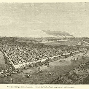
map of Saint Helena island, engraving, 19th century - Map of the island of Sainte Helene

![]()
Wall Art and Photo Gifts from Fine Art Finder
map of Saint Helena island, engraving, 19th century - Map of the island of Sainte Helene
XEE4158011 map of Saint Helena island, engraving, 19th century - Map of the island of Sainte Helene (South Atlantic) for the memorial of Saint Helene - by French School, (19th century); Private Collection; (add.info.: map of Saint Helena island, engraving, 19th century - Map of the island of Sainte Helene (South Atlantic) for the memorial of Saint Helene -); Stefano Bianchetti; French, out of copyright
Media ID 23312528
© Stefano Bianchetti / Bridgeman Images
Atlantic Ocean Exile Geographical Map Helena Island Napoleon I 1st 1st Bonaparte 1769 1821
FEATURES IN THESE COLLECTIONS
> Arts
> Artists
> Related Images
> Europe
> United Kingdom
> England
> Maps
> Fine Art Finder
> Artists
> French School
EDITORS COMMENTS
This print showcases a 19th-century engraving of the map of Saint Helena island. The intricate details and precise craftsmanship highlight the historical significance of this French School creation. The map, intended for the memorial of Saint Helene, provides a fascinating glimpse into the geography and history of this remote South Atlantic island. The engraving beautifully captures the contours and features of Saint Helena, offering viewers an opportunity to explore its unique topography. This British territory served as a place of exile for Napoleon Bonaparte during his final years, adding an intriguing layer to its historical importance. The artist, Stefano Bianchetti, skillfully brings together elements from both English and French cultures in this masterpiece. Through his meticulous strokes, he transports us back in time to witness the convergence of these two nations on this small but significant island. As we gaze upon this remarkable piece from our private collection, we are reminded not only of its artistic value but also its educational significance. It serves as a testament to human exploration and discovery while providing valuable insights into colonial history. Whether you are captivated by maps or fascinated by history, this exquisite print is sure to transport you to another era – one where great empires clashed amidst breathtaking natural beauty.
MADE IN AUSTRALIA
Safe Shipping with 30 Day Money Back Guarantee
FREE PERSONALISATION*
We are proud to offer a range of customisation features including Personalised Captions, Color Filters and Picture Zoom Tools
SECURE PAYMENTS
We happily accept a wide range of payment options so you can pay for the things you need in the way that is most convenient for you
* Options may vary by product and licensing agreement. Zoomed Pictures can be adjusted in the Cart.