Fraud Blocker Skip to main content

Home > Maps and Charts > Early Maps
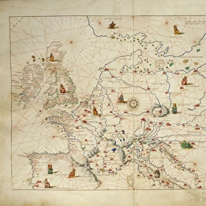
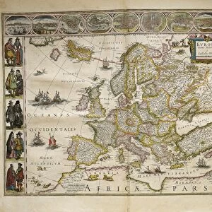
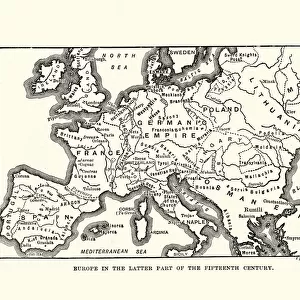
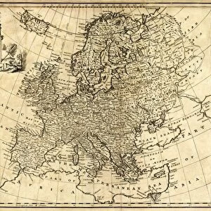
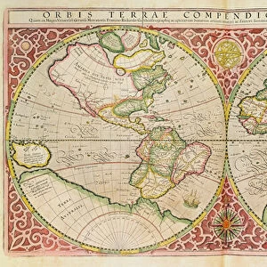
Map of Europe

Map of Europe


Canvas Prints
Fine Art Prints
Metal Prints
Cards
Home Decor


We accept all major credit cards

Fine Art Storehouse

Wall Art and Photo Gifts from Fine Art Storehouse

Map of Europe

Antique Maps, TR002298

Unleash your creativity and transform your space into a visual masterpiece!

Fototeca Gilardi

Media ID 18443269


FEATURES IN THESE COLLECTIONS

> Europe > Related Images

> Fine Art Storehouse > Map > Historical Maps

> Fine Art Storehouse > Map

> Maps and Charts > Early Maps


MADE IN AUSTRALIA
Safe Shipping with 30 Day Money Back Guarantee

FREE PERSONALISATION*
We are proud to offer a range of customisation features including Personalised Captions, Color Filters and Picture Zoom Tools

SECURE PAYMENTS
We happily accept a wide range of payment options so you can pay for the things you need in the way that is most convenient for you

* Options may vary by product and licensing agreement. Zoomed Pictures can be adjusted in the Cart.


redeem
Beautiful Photo Prints and Gifts
image
Professionally Printed
thumb_up
Professional quality finish
diamond
Made with high-grade materials
inventory_2
Carefully packed to aid safe arrival


Related Images


MAP OF AFRICA from the 1595 edition of Abraham Ortelius atlas Theatrum Orbis Terrarum
Map of Europe
Map of Europe
1706, De La Feuille Map of Europe, topography, cartography, geography, land, illustration
Engraved Antique, Europe Before the French Revolution of 1789 Engraving Antique Illustration
Europe, from Atlas of the World in thirty-three Maps, by Battista Agnese, 1553
From Theatrum Orbis Terrarum by Willem Bleau, Amsterdam, 1635-1645
Europe after the Peace Treaty in Westphalia (1648)
Map of Europe 1900
Map of Europe 1900
Map of Europe in late 15th Century
Antquie Map of Africa
Antique Map of Europe 1744
Double Hemisphere World Map, 1587 (coloured engraving)

+

Shipping

+

Choices

+

Reviews

+

Guaranteed


Related Collections


Early Maps
Early Maps
Browse 24,907 Prints
Map
Map
Browse 9,856 Prints
Europe Related Images
Browse 33,474 Prints
Historical Maps
Historical Maps
Browse 3,307 Prints