Home > Europe > Austria > Maps
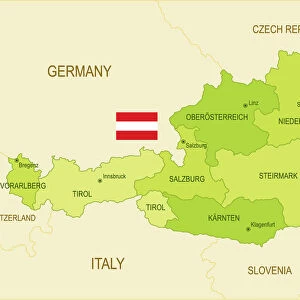
Old map of Austria (Danube monarchy), steel engraving, published 1857
, steel engraving, published 1857")
![]()
Wall Art and Photo Gifts from Fine Art Storehouse
Old map of Austria (Danube monarchy), steel engraving, published 1857
Old map of Austria (Danube monarchy). Steel engraving with hand coloured borderlines, published in 1857
Unleash your creativity and transform your space into a visual masterpiece!
ZU_09
Media ID 35842794
FEATURES IN THESE COLLECTIONS
> Fine Art Storehouse
> Map
> Historical Maps
> Maps and Charts
> Early Maps
EDITORS COMMENTS
This stunning steel engraving depicts an old map of the Austrian Danube Monarchy, published in 1857. The intricately detailed map showcases the extensive territories of the Austrian Empire at the time, which spanned from present-day Austria, Hungary, and parts of Czech Republic, Slovakia, Slovenia, Italy, and Romania. The Danube Monarchy, also known as the Austro-Hungarian Empire, was a multinational state ruled by the House of Habsburg. The map's borders are beautifully hand-colored, adding an artistic touch to the already impressive level of detail. The Danube River, a major European waterway, runs through the heart of the map, giving it its name. The map also highlights various cities, towns, and fortifications, providing a glimpse into the political and geographical landscape of the time. Steel engraving was a popular method for producing maps during the 19th century due to its ability to create highly detailed and accurate images. This map, in particular, showcases the skill and artistry of the engraver, with intricate lines and precise shading that bring the Austrian Danube Monarchy to life. This old map is not only a historical document but also a work of art, showcasing the beauty and complexity of the Austrian Empire during the 19th century. It is a must-have for anyone with an interest in European history, cartography, or art. Displaying this map in your home or office is sure to be a conversation starter and a source of fascination for all who see it.
MADE IN AUSTRALIA
Safe Shipping with 30 Day Money Back Guarantee
FREE PERSONALISATION*
We are proud to offer a range of customisation features including Personalised Captions, Color Filters and Picture Zoom Tools
SECURE PAYMENTS
We happily accept a wide range of payment options so you can pay for the things you need in the way that is most convenient for you
* Options may vary by product and licensing agreement. Zoomed Pictures can be adjusted in the Cart.