Fraud Blocker Skip to main content

Home > Fine Art Storehouse > Map > Map Illustrations

Map Illustrations Collection

Choose a picture from our Map Illustrations Collection for your Wall Art and Photo Gifts

149 items

We are proud to offer this selection in partnership with Fine Art Storehouse

Background imageMap Illustrations Collection: Italy Map - illustration

Italy Map - illustration
Colored Map of Italy The urls of the reference files are (country, continent, world map and globe). - The illustration was completed January 09

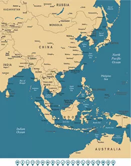
Background imageMap Illustrations Collection: East Asia Map

East Asia Map
Beige Sea Blue Map of East Asia - illustration

Background imageMap Illustrations Collection: Map of Switzerland

Map of Switzerland - Vector illustration

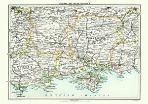
Background imageMap Illustrations Collection: Map of South East England, Hampshire, Dorset, Wiltshire 1891

Map of South East England, Hampshire, Dorset, Wiltshire 1891
Antique Map of Map of South East England, showing Hampshire, Dorset, Wiltshire, and the Isle of Wight 1891

Background imageMap Illustrations Collection: USA Map - illustration

USA Map - illustration
Colored Map of the United States

Background imageMap Illustrations Collection: 25 - India - Vintage Golden 10

25 - India - Vintage Golden 10
Map of India - Vintage Vector illustration

Background imageMap Illustrations Collection: Map of Sweden - Vector

Map of Sweden - Vector illustration

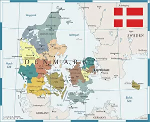
Background imageMap Illustrations Collection: 27 - Denmark - Color1 10

27 - Denmark - Color1 10
Map of Denmark - Vector illustration

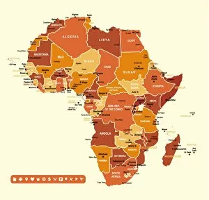
Background imageMap Illustrations Collection: Africa Map

Africa Map
Africa Green High detailed map with navigation icons

Background imageMap Illustrations Collection: Africa Infographic map

Africa Infographic map
Africa Infographic High detailed map with navigation icons

Background imageMap Illustrations Collection: Scotland Vector Map

Scotland Vector Map
Highly detailed vector map of Scotland. File was created on July 20, 2011. The colors in the.eps-file are ready for print (CMYK). Included files: EPS (v8) and Hi-Res JPG

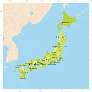
Background imageMap Illustrations Collection: Japan Vector Map

Japan Vector Map
Highly detailed vector map of Japan. File was created on August 23, 2012. The colors in the.eps-file are ready for print (CMYK). Included files: EPS (v8) and Hi-Res JPG (5600 x 5600 px)

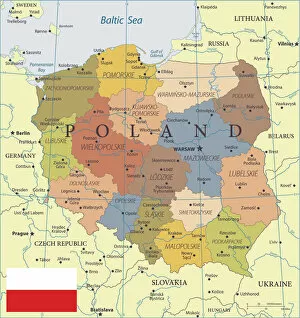
Background imageMap Illustrations Collection: 28 - Poland - Color2 10

28 - Poland - Color2 10
Map of Poland - Vector illustration

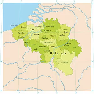
Background imageMap Illustrations Collection: Map of Belgium - Vector

Map of Belgium - Vector illustration

Background imageMap Illustrations Collection: Ireland Vector Map

Ireland Vector Map
Highly detailed vector map of the Republic of Ireland. File was created on June 24, 2011. The colors in the.eps-file are ready for print (CMYK). Included files: EPS (v8) and Hi-Res JPG

Background imageMap Illustrations Collection: Old map of Europe in 1815

Old map of Europe in 1815
Antique Illustration. Copyright has expired on this artwork. From my own archives, digitally restored

Background imageMap Illustrations Collection: Middle states map 1898

Middle states map 1898

Background imageMap Illustrations Collection: Ethnographic map of Africa from 1898

Ethnographic map of Africa from 1898
Illustration of a Ethnographic map of Africa

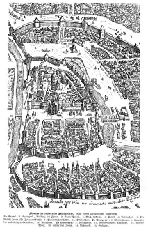
Background imageMap Illustrations Collection: City of Moscow Russia 17th century map illustration

City of Moscow Russia 17th century map illustration
Moscow Russia 17th century Original edition from my own archives Source : Illustrierte Geschichte 1883

Background imageMap Illustrations Collection: Early Map of the City and Capitol of Washington, D. C. United States

Early Map of the City and Capitol of Washington, D. C. United States, Antique American Illustration, 1900
Antique American Photograph: Early Map of the City and Capitol of Washington, D.C. United States, Antique American Illustration, 1900: Original edition from my own archives

Background imageMap Illustrations Collection: Kingston upon Hull map

Kingston upon Hull map
Illustration of a Kingston upon Hull map

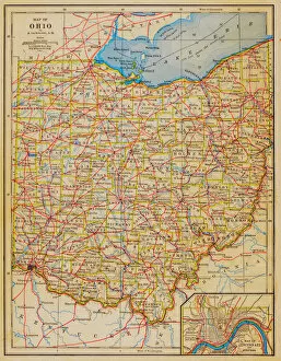
Background imageMap Illustrations Collection: 1883 Ohio State Map

1883 Ohio State Map

Background imageMap Illustrations Collection: 16th century, antique, archival, barbarie coast, barbary coast, battles, borders

16th century, antique, archival, barbarie coast, barbary coast, battles, borders, boundaries, cartography, depicted, depicting, depiction, geography, historic, map, nobody, northern africa, ocean

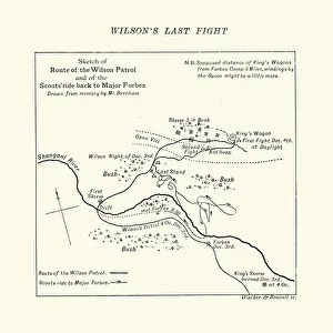
Background imageMap Illustrations Collection: Map of the Shangani Patrol and Major Wilsons Last Stand

Map of the Shangani Patrol and Major Wilsons Last Stand
Vintage engraving of a Map of the Shangani Patrol and Major Wilsons Last Stand. The Shangani Patrol (or Wilsons Patrol), comprising 34 soldiers in the service of the British South Africa Company

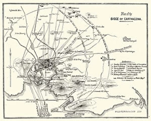
Background imageMap Illustrations Collection: Third Carlist War - Siege of Carthagena

Third Carlist War - Siege of Carthagena
Vintage engraving showing a plan of the Siege of Carthagena (Cartagena), Spain, during the Third Carlist War. The Carlist Wars were a series of civil wars that took place in Spain during the 19th

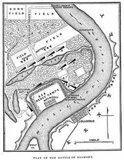
Background imageMap Illustrations Collection: Battle of Belmont

Battle of Belmont
Vintage engraving from 1863 of a map of the Battle of Belmont which was fought on November 7, 1861, in Mississippi County, Missouri. It was the first combat test in the American Civil War for Brig

Background imageMap Illustrations Collection: Battle of Big Bethel

Battle of Big Bethel
Vintage engraving from 1863 of a map of the Battle of Big Bethel also known as the Battle of Bethel Church or Great Bethel was an American Civil War battle that took place on June 10, 1861

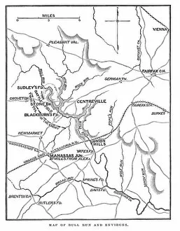
Background imageMap Illustrations Collection: Battle of Bull Run

Battle of Bull Run
Vintage engraving from 1863 of a map of Bull Run and its environs at the time of the American Civil War. The First Battle of Bull Run

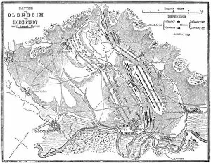
Background imageMap Illustrations Collection: Battle of Blenheim (Hoechstedt) - map drawn in 1880

Battle of Blenheim (Hoechstedt) - map drawn in 1880
Map of the Battle of Blenheim (Hoechstedt) which took place on 13 August 1704, during the War of the Spanish Succession. The English commander was John Churchill

Background imageMap Illustrations Collection: Map of the Hawaiian Archipelago

Map of the Hawaiian Archipelago
Illustration of a Map of the Hawaiian Archipelago

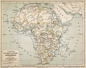
Background imageMap Illustrations Collection: Africas exploration travel platform

Africas exploration travel platform
Illustration of a Africas exploration travel platform

Background imageMap Illustrations Collection: World map from 1520

World map from 1520
Western hemisphere of the Johannes SchAoner globe from 1520. expedition

Background imageMap Illustrations Collection: Antique illustration of 31 december 1861 eclipse map

Antique illustration of 31 december 1861 eclipse map

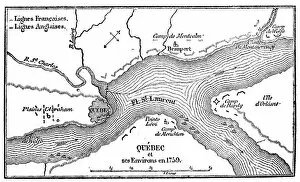
Background imageMap Illustrations Collection: Antique illustration of Quebec map

Antique illustration of Quebec map

Background imageMap Illustrations Collection: Map of Germannia, mid-2nd century AD, lithograph, published in 1897

Map of Germannia, mid-2nd century AD, lithograph, published in 1897
Map of Germania and the northern provinces of the Roman Empire around the middle of the 2nd century AD. Lithograph, published in 1897

Background imageMap Illustrations Collection: Plan of the battlefield near Leipzig 16. 18. 19. october

Plan of the battlefield near Leipzig 16. 18. 19. october
Illustration of a Plan of the battlefield near Leipzig 16.18.19. october

Background imageMap Illustrations Collection: Central Europe in 1811

Central Europe in 1811
Illustration of a Central Europe in 1811

Background imageMap Illustrations Collection: Germany, at the outbreak of the French Revolution in 1798

Germany, at the outbreak of the French Revolution in 1798
Illustration of a Germany, at the outbreak of the French Revolution in 1798

Background imageMap Illustrations Collection: 20 - Germany - Vintage Color Dark

20 - Germany - Vintage Color Dark
Map of Germany - Vintage Vector illustration

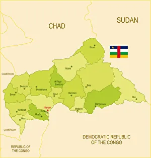
Background imageMap Illustrations Collection: Flat map of Central African Republic with flag

Flat map of Central African Republic with flag
Detailed map of Central African Republic with surroundings, provinces, capital and flag. The url of the reference to political map is: Layers of data used: text, flag, map

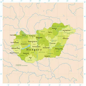
Background imageMap Illustrations Collection: Hungary Vector Map

Hungary Vector Map
Highly detailed vector map of Hungary. File was created on September 6, 2011. The colors in the.eps-file are ready for print (CMYK). Included files: EPS (v8) and Hi-Res JPG

Background imageMap Illustrations Collection: Czech Republic Vector Map

Czech Republic Vector Map
Highly detailed vector map of the Czech Republic. File was created on September 9, 2011. The colors in the.eps-file are ready for print (CMYK). Included files: EPS (v8) and Hi-Res JPG

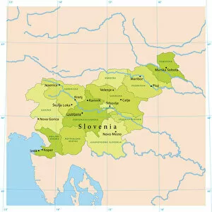
Background imageMap Illustrations Collection: Slovenia Vector Map

Slovenia Vector Map
Highly detailed vector map of Slovenia. File was created on September 23, 2011. The colors in the.eps-file are ready for print (CMYK). Included files: EPS (v8) and Hi-Res JPG

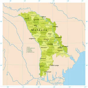
Background imageMap Illustrations Collection: Moldova Vector Map

Moldova Vector Map
Highly detailed vector map of Moldova. File was created on October 18, 2011. The colors in the.eps-file are ready for print (CMYK). Included files: EPS (v8) and Hi-Res JPG

Background imageMap Illustrations Collection: Kosovo Vector Map

Kosovo Vector Map
Highly detailed vector map of Kosovo. File was created on November 2, 2011. The colors in the.eps-file are ready for print (CMYK). Included files: EPS (v8) and Hi-Res JPG

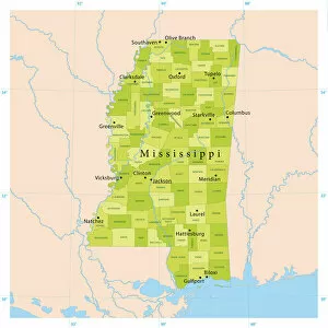
Background imageMap Illustrations Collection: Mississippi Vector Map

Mississippi Vector Map
Highly detailed vector map of Mississippi, United States. Source data courtesy of NGDC (database: World Data Bank II), NASA (reference images: Blue Marble) and National Atlas (database)

Background imageMap Illustrations Collection: Belgium Vector Map

Belgium Vector Map
Highly detailed vector map of Belgium. File was created on July 14, 2011. The colors in the.eps-file are ready for print (CMYK). Included files: EPS (v8) and Hi-Res JPG

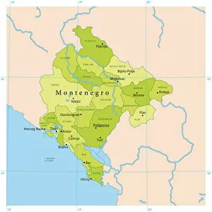
Background imageMap Illustrations Collection: Montenegro Vector Map

Montenegro Vector Map
Highly detailed vector map of Montenegro. File was created on October 25, 2011. The colors in the.eps-file are ready for print (CMYK). Included files: EPS (v8) and Hi-Res JPG


All Professionally Made to Order for Quick Shipping


-

Why Choose Us?

We are a leading provider of Art Prints and Photo Gifts since 2003, working in partnership with a range of Sporting Clubs, Charities, Museums and Picture Libraries. A large share of profits from any of their images will go directly towards supporting that charity or club. Our archive of images is carefully curated to bring you a wide range of subjects, including landscapes, wildlife, architecture, and more. We ship from our partner labs in the UK, USA, EU (Netherlands) and Australia.
+

How do I place an order?

Ordering is quick & easy - Just follow 5 Simple Steps:
  1. Find your image: Use our search box or browse our online photo Collections to find the image you want.

  2. Choose your print format: Select your desired product and add it to your cart.

  3. Enter your details: If you're a returning customer, simply enter your email address and password, and we'll fill in your billing and shipping address details. All personal details are held securely and are fully GDPR compliant. As standard, we remove all Personally Identifiable Information after 12 months.

  4. Pay for your purchase: We use state-of-the-art security for online shopping and do not have access to your card details.

  5. Sit back and relax: We'll email you confirmation of your order and when it's dispatched. Registered customers can also track orders in the 'My Account' area.

+

How do I pay for an order?

You can pay for your order with most of the major credit and debit cards, or PayPal. For added security, major financial institutions process payment details separately and securely on our behalf. We do not have access to your online payment card details. Online payments are preferred however we do take phone orders. For UK customers only we accept cheques issued against a UK bank.
+

Is my data safe?

We take data security very seriously. We do not have access to your full card details and all payments are requested over a fully secure connection. Additionally, we fully comply with current European and GDPR legislation, and automatically remove all personal data after at most 12 months (unless you have an account with us and have signed in recently). We also have a strict opt-in policy and would never sell your personal details. Your data is only used to fulfill your order promptly and efficiently.
+

Is wall art ready to hang?

For quick and easy installation all wall art, including framed prints, canvas prints and metal prints are supplied with a ready to hang solution on the back. Generally, saw tooth hangers are applied as they allow wall art to hang flush against the wall. The serrated edge of the hanger prevents the frame from shifting or tilting when hung.
+

Are the photo prints fade resistant?

Yes, we use archival quality photo paper photographic paper for vivid reproduction Prints are an accurate representations of the original artwork, which is preserved for artistic character and authenticity. We guarantee they match previews shown on our web site