Home > North America > United States of America > New York > New York > Maps
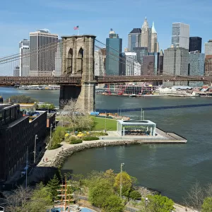
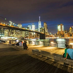
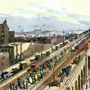
Broklyn city map 1893

![]()
Wall Art and Photo Gifts from Fine Art Storehouse
Broklyn city map 1893
Johnsonas Universal Cyclopedia - Charles Kendall - New York 1893
Unleash your creativity and transform your space into a visual masterpiece!
THEPALMER
Media ID 14756566
© This content is subject to copyright
FEATURES IN THESE COLLECTIONS
> Fine Art Storehouse
> Map
> Historical Maps
> Fine Art Storehouse
> Map
> USA Maps
> Maps and Charts
> Early Maps
> North America
> United States of America
> Maps
> North America
> United States of America
> New York
> New York
> Brooklyn
> Related Images
> North America
> United States of America
> New York
> New York
> Maps
EDITORS COMMENTS
In this print titled "Brooklyn City Map 1893" captured by THEPALMER and available at Fine Art Storehouse, we are transported back in time to the bustling streets of Brooklyn, New York. The image showcases a vintage map from Johnson's Universal Cyclopedia, meticulously crafted by Charles Kendall in 1893. As our eyes wander across the intricate details of this historical artifact, we can't help but marvel at the city's evolution over the years. Every street corner and neighborhood is beautifully depicted, offering a glimpse into an era long gone. This snapshot captures not only the physical layout of Brooklyn but also its spirit and character during that period. The faded hues and delicate lines tell stories of countless lives lived within these city blocks – families building homes, businesses flourishing, and communities thriving. It serves as a reminder of how cities like Brooklyn have grown and transformed throughout history while still retaining their unique charm. Whether you're a history enthusiast or simply captivated by the beauty of old maps, this print will transport you to another time. Hang it on your wall or display it proudly on your desk; let it spark conversations about urban development or inspire dreams of exploring Brooklyn's rich past firsthand. "The Broklyn City Map 1893" print invites us to appreciate both artistry and history simultaneously—a timeless piece that connects us with our roots while celebrating human ingenuity through cartography.
MADE IN AUSTRALIA
Safe Shipping with 30 Day Money Back Guarantee
FREE PERSONALISATION*
We are proud to offer a range of customisation features including Personalised Captions, Color Filters and Picture Zoom Tools
SECURE PAYMENTS
We happily accept a wide range of payment options so you can pay for the things you need in the way that is most convenient for you
* Options may vary by product and licensing agreement. Zoomed Pictures can be adjusted in the Cart.