Fraud Blocker Skip to main content

Cartographic Collection (page 2)

"Unveiling the World Through Cartographic Masterpieces" Step back in time and embark on a journey through history with these captivating cartographic treasures

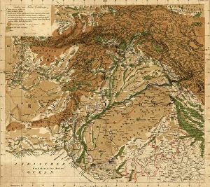
Background imageCartographic Collection: The Hindu Kush and passes between the Kabul and Oxus, 1879

The Hindu Kush and passes between the Kabul and Oxus, 1879
2902277 The Hindu Kush and passes between the Kabul and Oxus, 1879; (add.info.: The Hindu Kush and passes between the Kabul and Oxus, 1879.); Buyenlarge Archive/UIG.

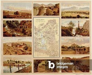
Background imageCartographic Collection: Valleys of Mexico, 1885

Valleys of Mexico, 1885
2902264 Valleys of Mexico, 1885; (add.info.: Historic map of Mexico with Valleys, amphitheaters, industry, groves, waterways, plains. Printed in Spanish.); Buyenlarge Archive/UIG.
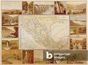
Background imageCartographic Collection: Hydrographic Map of Mexico, 1885

Hydrographic Map of Mexico, 1885
2902259 Hydrographic Map of Mexico, 1885; (add.info.: Historic map of Mexico with Waterfalls, streams, rivers, dams, rapids, and lakes. Printed in Spanish.); Buyenlarge Archive/UIG.

Background imageCartographic Collection: South Africa

South Africa
2902104 South Africa; (add.info.: South Africa, 1899.); Buyenlarge Archive/UIG.

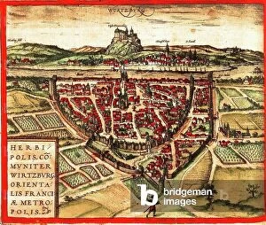
Background imageCartographic Collection: Wurzburg, Germany

Wurzburg, Germany
2901907 Wurzburg, Germany; (add.info.: Located on the canalized Main river; Celts - Romans were established here; was important medieval center; thrived as splendid seat of bishops until 19th)

Background imageCartographic Collection: Strategic Map of Our War with Spain

Strategic Map of Our War with Spain
2902891 Strategic Map of Our War with Spain; (add.info.: Strategic Map of Our War with Spain, 1898.); Buyenlarge Archive/UIG.

Background imageCartographic Collection: Point Royal, Jamaica New Granada, 18th century (engraving)

Point Royal, Jamaica New Granada, 18th century (engraving)
2902884 Point Royal, Jamaica New Granada, 18th century (engraving); Buyenlarge Archive/UIG.

Background imageCartographic Collection: Plan of Guantanamo Bay, Cuba, 1751

Plan of Guantanamo Bay, Cuba, 1751
2902880 Plan of Guantanamo Bay, Cuba, 1751; (add.info.: Plan of Guantanamo Bay, Cuba, 1751.); Buyenlarge Archive/UIG.

Background imageCartographic Collection: Guantanamo Bay, 1741

Guantanamo Bay, 1741
2902877 Guantanamo Bay, 1741; (add.info.: A plan of George Stadt Camp near the River Guantamano in the island of Cuba and also of the entrenchments made on the adjacent hills)

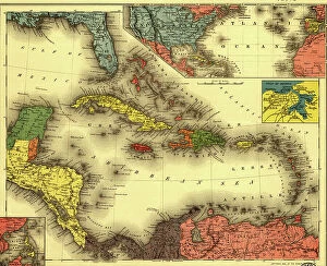
Background imageCartographic Collection: The Evening Post map of the West Indies, 1898

The Evening Post map of the West Indies, 1898
2902870 The Evening Post map of the West Indies, 1898; (add.info.: The Evening Post map of the West Indies, 1898.); Buyenlarge Archive/UIG.

Background imageCartographic Collection: China, 1864

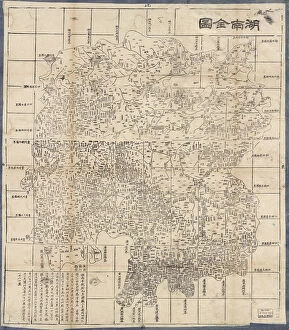
China, 1864
2902864 China, 1864; (add.info.: China, 1864.); Buyenlarge Archive/UIG.

Background imageCartographic Collection: Korea, 1822

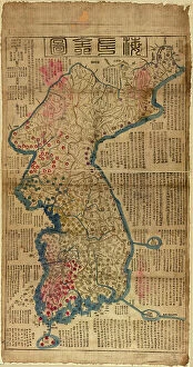
Korea, 1822
2902862 Korea, 1822; (add.info.: Korea, 1822.); Buyenlarge Archive/UIG.

Background imageCartographic Collection: China, 1700

China, 1700
2902861 China, 1700; (add.info.: China, 1700.); Buyenlarge Archive/UIG.

Background imageCartographic Collection: Asia - 1805

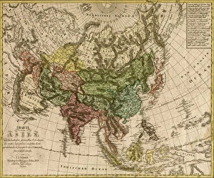
Asia - 1805
2902852 Asia - 1805; (add.info.: Asia; - Charte von Asien - nach de bew?hrtesten astronomischen Beobachtungen den neuesten Reisen, und de vorz)

Background imageCartographic Collection: Asia - 1680

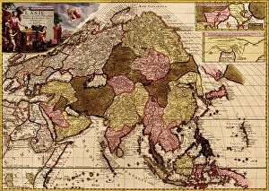
Asia - 1680
2902849 Asia - 1680; (add.info.: Asia in praecipuas ipsius partes distributa, ad ovesrvationes academiae regiae scientiarum, et exquisitissimas tabulas, quae nunquam antehac lucem viderunt)

Background imageCartographic Collection: Asia - 1835

Asia - 1835
2902846 Asia - 1835; (add.info.: Asia - 1835); Buyenlarge Archive/UIG.

Background imageCartographic Collection: Asia - 1814

Asia - 1814
2902845 Asia - 1814; (add.info.: Asia - 1814); Buyenlarge Archive/UIG.

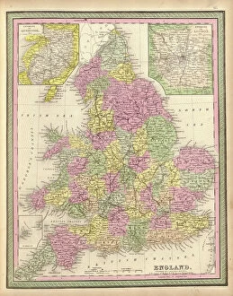
Background imageCartographic Collection: England

England
2902836 England; (add.info.: England, 1849.); Buyenlarge Archive/UIG.

Background imageCartographic Collection: London

London
2902834 London; (add.info.: London, England, 1682.); Buyenlarge Archive/UIG.

Background imageCartographic Collection: Ireland, 1665

Ireland, 1665
2902831 Ireland, 1665; (add.info.: Ireland, 1665.); Buyenlarge Archive/UIG.

Background imageCartographic Collection: Ireland, 1750

Ireland, 1750
2902830 Ireland, 1750; (add.info.: Ireland, 1750.); Buyenlarge Archive/UIG.

Background imageCartographic Collection: Theatre of War, 1779

Theatre of War, 1779
2902817 Theatre of War, 1779; (add.info.: Theatre of War, 1779.); Buyenlarge Archive/UIG.

Background imageCartographic Collection: Civil War Railroad Map, 1862

Civil War Railroad Map, 1862
2902811 Civil War Railroad Map, 1862; (add.info.: New railroad map of the middle states including New York, New Jersey, Pennsylvania, Delaware, Maryland, Ohio and Canada.); Buyenlarge Archive/UIG.

Background imageCartographic Collection: America Divided amongst Claimants, 1694

America Divided amongst Claimants, 1694
2902803 America Divided amongst Claimants, 1694; (add.info.: America Divided amongst Claimants, 1694.); Buyenlarge Archive/UIG.

Background imageCartographic Collection: Theatre of War in North America, 1755

Theatre of War in North America, 1755
2902794 Theatre of War in North America, 1755; (add.info.: Theatre of War in North America, 1755.); Buyenlarge Archive/UIG.

Background imageCartographic Collection: America in 1754 (engraving)

America in 1754 (engraving)
2902791 America in 1754 (engraving); Buyenlarge Archive/UIG.

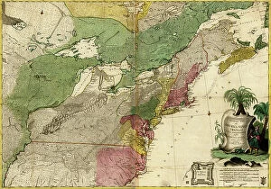
Background imageCartographic Collection: British - French Claims to North America, 1756

British - French Claims to North America, 1756
2902790 British - French Claims to North America, 1756; (add.info.: British - French Claims to North America, 1756.); Buyenlarge Archive/UIG.

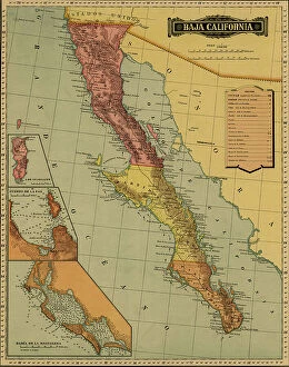
Background imageCartographic Collection: Baja California, 1844

Baja California, 1844
2902779 Baja California, 1844; (add.info.: Baja California, 1844.); Buyenlarge Archive/UIG.

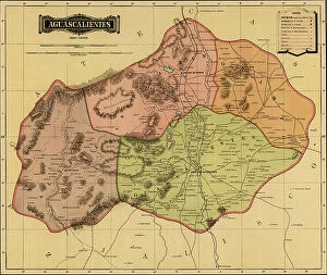
Background imageCartographic Collection: Aguascalientes, 1844

Aguascalientes, 1844
2902770 Aguascalientes, 1844; (add.info.: Aguascalientes, 1844.); Buyenlarge Archive/UIG.

Background imageCartographic Collection: Oaxaca, 1844

Oaxaca, 1844
2902766 Oaxaca, 1844; (add.info.: Oaxaca, 1844.); Buyenlarge Archive/UIG.

Background imageCartographic Collection: Guerrero, 1844

Guerrero, 1844
2902765 Guerrero, 1844; (add.info.: Guerrero, 1844.); Buyenlarge Archive/UIG.

Background imageCartographic Collection: Jalisco, 1844

Jalisco, 1844
2902762 Jalisco, 1844; (add.info.: Jalisco, 1844.); Buyenlarge Archive/UIG.

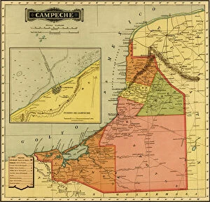
Background imageCartographic Collection: Campeche, 1844

Campeche, 1844
2902759 Campeche, 1844; (add.info.: Campeche, 1844.); Buyenlarge Archive/UIG.

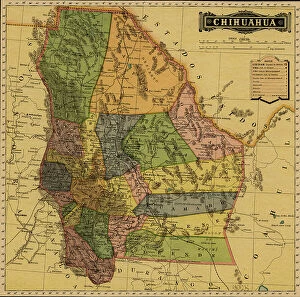
Background imageCartographic Collection: Chihuahua

Chihuahua
2902754 Chihuahua; (add.info.: Chihuahua, Mexico, 1884.); Buyenlarge Archive/UIG.

Background imageCartographic Collection: Telegraph, Communications Systems, Mexico, 1884

Telegraph, Communications Systems, Mexico, 1884
2902751 Telegraph, Communications Systems, Mexico, 1884; (add.info.: Telegraph, Communications Systems, Mexico, 1884.); Buyenlarge Archive/UIG.

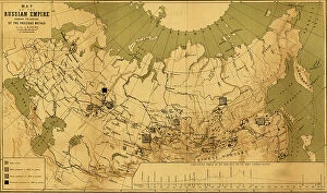
Background imageCartographic Collection: Precious Metals in Imperial Russia, 1890

Precious Metals in Imperial Russia, 1890
2902737 Precious Metals in Imperial Russia, 1890; (add.info.: Precious Metals in Imperial Russia, 1890.); Buyenlarge Archive/UIG.

Background imageCartographic Collection: Afghanistan - Bordering Indian Lands, 1842

Afghanistan - Bordering Indian Lands, 1842
2902273 Afghanistan - Bordering Indian Lands, 1842; (add.info.: Afghanistan - Bordering Indian Lands, 1842.); Buyenlarge Archive/UIG.

Background imageCartographic Collection: Afghanistan, 1879

Afghanistan, 1879
2902270 Afghanistan, 1879; (add.info.: Afghanistan, 1879.); Buyenlarge Archive/UIG.

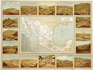
Background imageCartographic Collection: Mineral Map of Mexico, 1885

Mineral Map of Mexico, 1885
2902261 Mineral Map of Mexico, 1885; (add.info.: Historic map of Mexico with Minerals, Mines - Mining. Printed in Spanish.); Buyenlarge Archive/UIG.

Background imageCartographic Collection: Communications - Maritime Waterways Mexican Map, 1885

Communications - Maritime Waterways Mexican Map, 1885
2902256 Communications - Maritime Waterways Mexican Map, 1885; (add.info.: Communications - Maritime Waterways Mexican Map, 1885. Printed in Spanish.); Buyenlarge Archive/UIG.

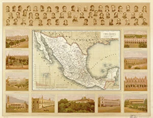
Background imageCartographic Collection: Political Map of Mexico, 1885

Political Map of Mexico, 1885
2902253 Political Map of Mexico, 1885; (add.info.: Geographic map surrounded by government buildings, Major Politicians. Printed in Spanish.); Buyenlarge Archive/UIG.

Background imageCartographic Collection: Africa, 1603

Africa, 1603
2902115 Africa, 1603; (add.info.: Africa, 1603.); Buyenlarge Archive/UIG.

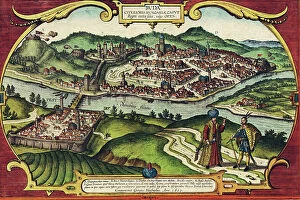
Background imageCartographic Collection: Buda, Hungary

Buda, Hungary
2901914 Buda, Hungary; (add.info.: City has status of - county; communities of Buda (right bank) - Pest (left) developed at important crossing point of the Danube; both were Roman settlements; both

Background imageCartographic Collection: British Empire in North America, 1783

British Empire in North America, 1783
2902816 British Empire in North America, 1783; (add.info.: Bowless new map of North America and the West Indies, exhibiting the British Empire therein with the limits)

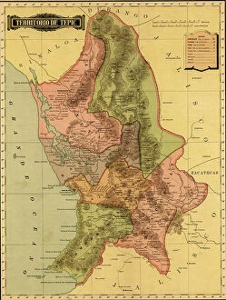
Background imageCartographic Collection: Terrirotrio de tepic, 1844

Terrirotrio de tepic, 1844
2902781 Terrirotrio de tepic, 1844; (add.info.: Terrirotrio de tepic, 1844.); Buyenlarge Archive/UIG.

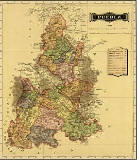
Background imageCartographic Collection: Puebla, 1844

Puebla, 1844
2902777 Puebla, 1844; (add.info.: Puebla, 1844.); Buyenlarge Archive/UIG.

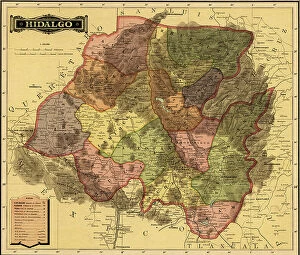
Background imageCartographic Collection: Hidalgo, 1844

Hidalgo, 1844
2902774 Hidalgo, 1844; (add.info.: Hidalgo, 1844.); Buyenlarge Archive/UIG.

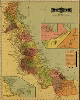
Background imageCartographic Collection: Vera Cruz, 1844

Vera Cruz, 1844
2902757 Vera Cruz, 1844; (add.info.: Vera Cruz, 1844.); Buyenlarge Archive/UIG.


All Professionally Made to Order for Quick Shipping

"Unveiling the World Through Cartographic Masterpieces" Step back in time and embark on a journey through history with these captivating cartographic treasures. From Al-Idrisi's world map of 1154 to Orteliuss' intricate creations from the 16th century, each map tells a unique story about the world as it was known at that time. Al-Idrisi's world map, crafted in 1154, offers a glimpse into medieval Islamic geography, showcasing an impressive understanding of global trade routes and geographical features. Meanwhile, the British Empire world map from the 19th century illustrates the vast extent of Britain's dominion across continents and oceans. The Catalan Atlas transports us to the 14th century with its exquisite craftsmanship and detailed depictions of various regions. It serves as a testament to Catalonia's rich maritime tradition and exploration during this period. Orteliuss' maps take center stage throughout this collection, providing invaluable insights into specific regions such as Ottoman Empire, Italy, Poland, Greece, Germany, Netherlands - all meticulously documented in his renowned Theatrum Orbis Terrarum. These masterpieces not only showcase Orteliuss' cartographic expertise but also shed light on political boundaries and cultural nuances prevalent during his era. Moving closer to home is the Map of City Dublin from 1797 which showcases Ireland's capital city at that time - offering glimpses into its urban layout and architectural landmarks that have shaped Dublin's identity over centuries. Lastly Zaragoza’s (19th c. ) Map takes us to Spain where we can explore Madrid through intricate details capturing its streetscape during that period - allowing us to immerse ourselves in Spanish history while navigating through its vibrant capital city. These remarkable cartographic works serve as windows into our past – they are not just maps; they are gateways connecting us with bygone eras.