
Chantry Close Collection
Welcome to Chantry Close, a charming residential neighborhood nestled in various locations across the UK


All Professionally Made to Order for Quick Shipping
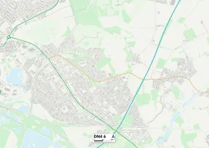
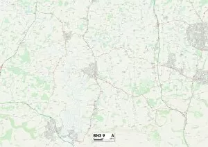
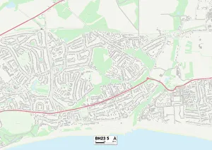
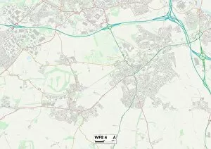
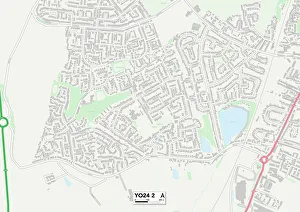
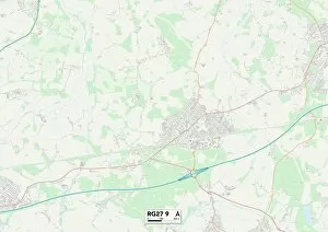
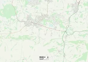
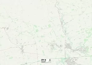
Welcome to Chantry Close, a charming residential neighborhood nestled in various locations across the UK. From Sunderland SR3 2 to Wakefield WF8 4, this diverse community offers something for everyone. In Sunderland SR3 2, residents enjoy the convenience of living close to local amenities and green spaces. The Daventry NN3 9 location boasts picturesque surroundings and easy access to nearby towns and cities. Enfield EN2 0 is another sought-after spot within Chantry Close, offering a peaceful retreat from the bustling city life. Meanwhile, Doncaster DN4 6 provides a vibrant atmosphere with its thriving cultural scene and lively entertainment options. Nature enthusiasts will find solace in Horsham BN5 9, where stunning landscapes await exploration. Dacorum WD4 8 offers a blend of rural charm and modern conveniences for those seeking tranquility without compromising on accessibility. Middlesbrough TS3 7 presents an ideal setting for families with its excellent schools and recreational facilities. Spelthorne TW16 7 combines suburban bliss with proximity to London's attractions, making it perfect for commuters. Shropshire SY4 4 showcases breathtaking countryside views that captivate all who visit or call it home. In Cheshire East SK12 2, residents can indulge in luxurious living amidst idyllic surroundings. Westminster W9 3 brings together history and sophistication at the heart of London's political hub. Finally, Wakefield WF8 invites you into a friendly community where neighbors become lifelong friends. No matter which location within Chantry Close you choose as your own, rest assured that you'll be part of a welcoming community surrounded by beauty and opportunity. Discover your perfect haven today.