
Continents Collection
"Journey through Time and Space: Unveiling the Marvels of Continents" Witness the incredible phenomenon of continental drift after 250 million years


All Professionally Made to Order for Quick Shipping
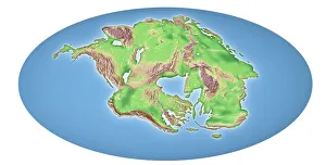
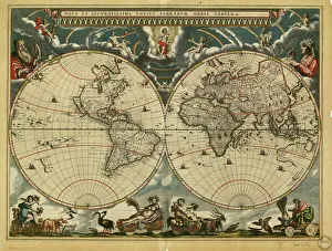
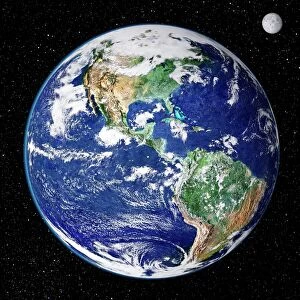
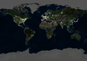
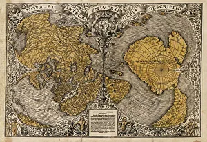
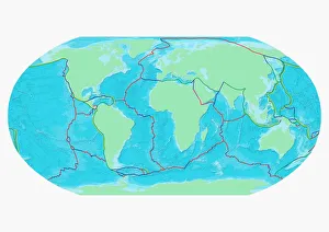
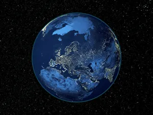
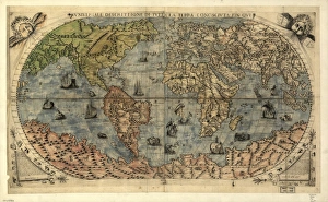
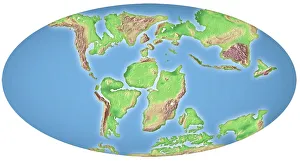
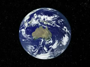
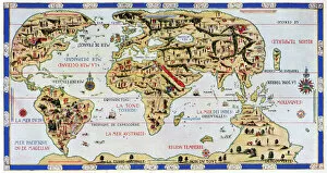
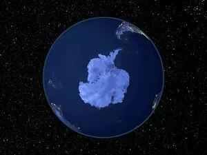
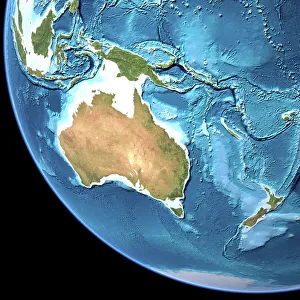
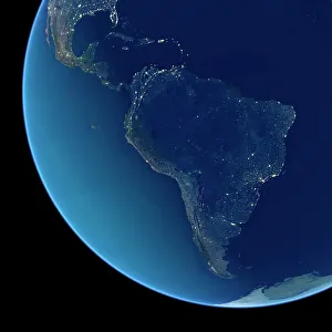
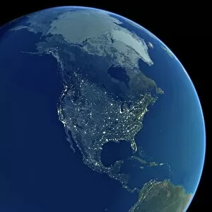
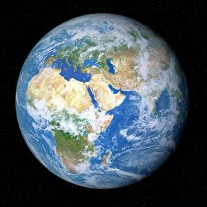
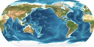
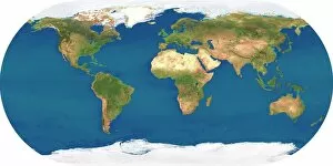
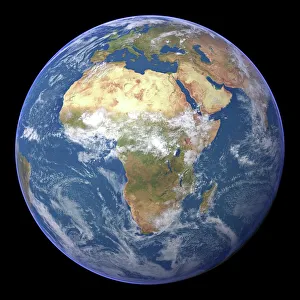
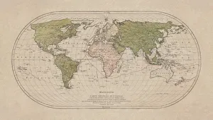
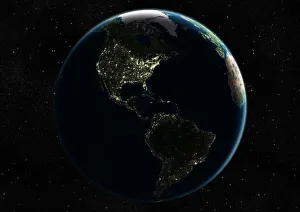
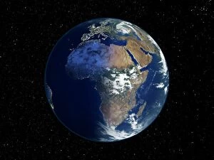
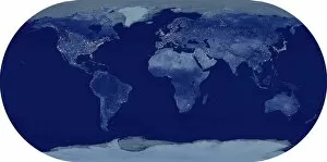
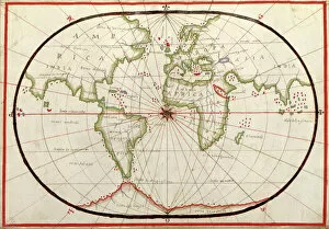
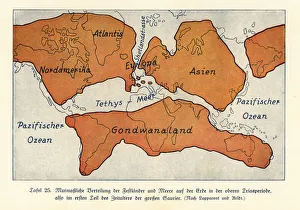
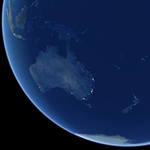
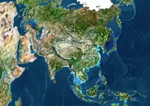
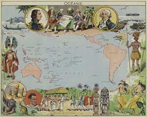
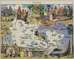
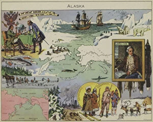
"Journey through Time and Space: Unveiling the Marvels of Continents" Witness the incredible phenomenon of continental drift after 250 million years, as Earth's landmasses slowly rearranged themselves over millennia. Explore a 17th-century world map, where cartographers attempted to capture the ever-evolving continents in their intricate designs. Behold the breathtaking Whole Earth at night, captured by satellites, illuminating our planet's diverse landscapes and bustling cities. Step back in time with a 16th-century world map, showcasing early attempts to understand and depict the vastness of our continents. Experience awe-inspiring views from space as satellites capture stunning images of Earth, revealing its majestic beauty and interconnected continents. Delve into history with Oronce Fine's remarkable world map from 1531, offering a glimpse into how people perceived continents centuries ago. Discover the hidden forces shaping our planet on a map marking boundaries of tectonic plates – unveiling nature's powerful influence on continent formation. Marvel at North America at night through satellite imagery, witnessing vibrant city lights that dot this vast continent like sparkling jewels against darkness. Embark on an exploration beneath Earth's surface with topographic and bathymetric maps – revealing both continents' towering mountains and mysterious ocean depths. Illuminate Europe at night through satellite imagery; witness ancient landmarks blending seamlessly with modern metropolises across this culturally rich continent. Travel back in time once more to witness continental drift occurring around 100 million years ago - reshaping our planet as we know it today. Experience Australia like never before through detailed satellite images capturing its unique geography - from arid deserts to lush rainforests - truly a continent unlike any other.