
Cotswold Close Collection
Welcome to Cotswold Close, a charming neighborhood nestled in the heart of various locations across the UK


All Professionally Made to Order for Quick Shipping
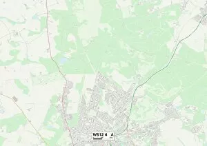
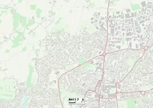
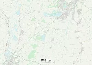
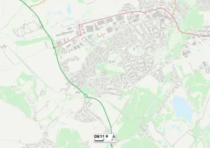
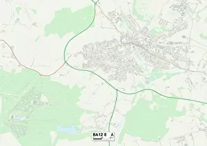
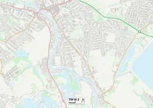
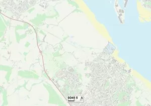
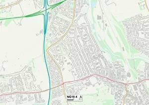
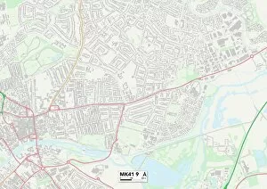
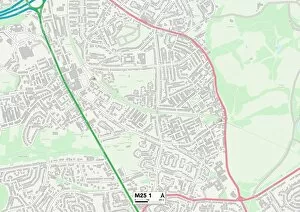
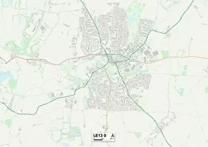
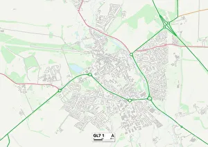
Welcome to Cotswold Close, a charming neighborhood nestled in the heart of various locations across the UK. From Cannock Chase to Crawley, Lincoln to South Derbyshire, Wiltshire to Ashford, and Spelthorne to New Forest - this community spans far and wide. In Cannock Chase (WS12 4 Map), residents enjoy the tranquility of nature as they explore the picturesque landscapes that surround them. Meanwhile, in Crawley (RH11 7 Map), neighbors come together for vibrant street parties and create lasting memories. Moving on to Lincoln (LN6 9 Map), it offers a peaceful haven away from the bustling city life. Here, families find solace amidst beautiful gardens and friendly faces. In South Derbyshire (DE11 9 Map), residents take pride in their close-knit community where everyone knows each other by name. Venturing further south into Wiltshire (BA12 8 Map), Cotswold Close becomes a sanctuary for those seeking an idyllic countryside lifestyle. The rolling hills and quaint cottages make it feel like stepping back in time. Heading towards Ashford (TN24 8 Map) brings you closer to modern conveniences while still maintaining a sense of serenity within Cotswold Close. Residents here enjoy easy access to amenities without sacrificing peace and quiet. As we move along Spelthorne's map (TW18 2 Map), we discover a thriving community filled with diverse cultures coming together under one roof at Cotswold Close. This harmonious blend creates an atmosphere that is both welcoming and inclusive. Further down south lies New Forest's hidden gem within Cotswold Close (SO45 5Map). Nature enthusiasts are spoiled for choice with endless trails waiting to be explored right on their doorstep. The enchanting woodlands provide an escape from everyday life.