
Douglas Avenue Collection
Douglas Avenue, a road that stretches across various locations in the UK, offers a diverse range of experiences and landscapes


All Professionally Made to Order for Quick Shipping
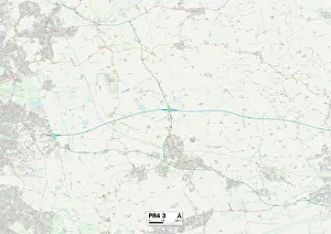
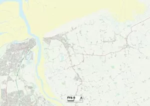
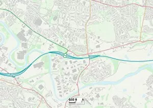
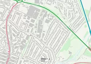
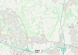
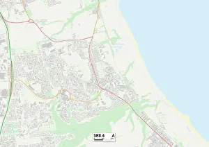
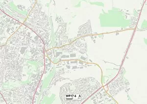
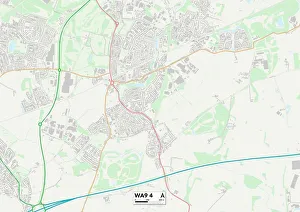
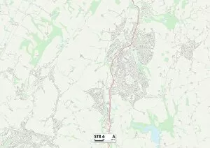
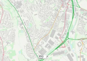
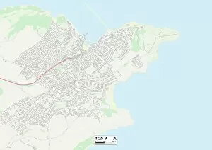
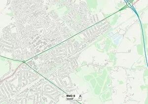
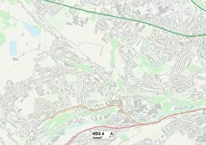
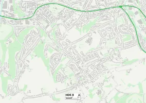
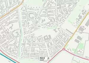
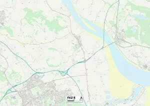
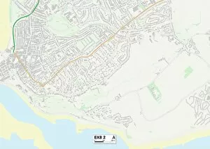
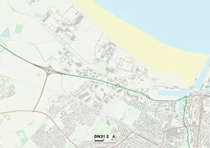
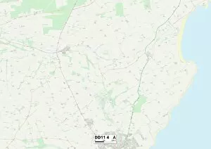
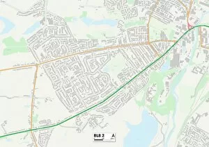
Douglas Avenue, a road that stretches across various locations in the UK, offers a diverse range of experiences and landscapes. From the coastal town of Wyre FY6 0 to the bustling city of Glasgow G32 8, this avenue connects different communities and cultures. Starting in Watford WD24 7, Douglas Avenue meanders through West Lancashire WN8 0, offering picturesque views of rolling hills and charming countryside. As it continues its journey towards Wigan WN5 7, the road passes by quaint villages and historic landmarks that tell tales of a rich heritage. Traversing County Durham SR8 4 brings you closer to nature's wonders with sprawling green fields and tranquil lakes dotting the landscape. The avenue then winds its way through Kirklees WF17 6 where vibrant markets and lively festivals showcase local traditions. Further along Douglas Avenue lies St. Helens WA9 4, an area known for its friendly community spirit and warm hospitality. Continuing into Staffordshire ST8 6 takes you on a scenic route lined with stunning architecture and breathtaking vistas. As Douglas Avenue reaches Staffordshire ST4 5, it reveals hidden gems such as charming cafes serving delicious treats or boutique shops selling unique crafts. Finally reaching Torbay TQ5 9 on England's beautiful south coast provides opportunities for leisurely walks along sandy beaches or exploring quaint seaside towns. The journey concludes in Havering RM3 O where residents enjoy a peaceful suburban lifestyle surrounded by lush parks and green spaces. Throughout its course, Douglas Avenue showcases the diversity of landscapes found throughout the UK while connecting people from different regions under one unified name.