
East Close Collection
Discover the hidden gems of East Close: a diverse tapestry of landscapes and communities across multiple regions


All Professionally Made to Order for Quick Shipping
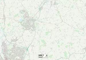
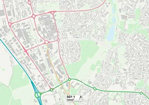
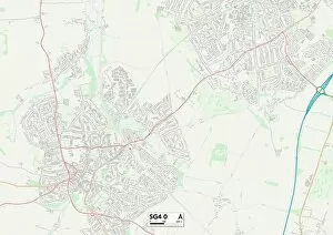
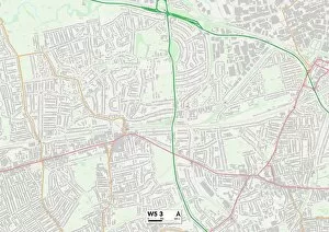
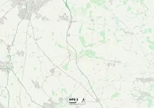
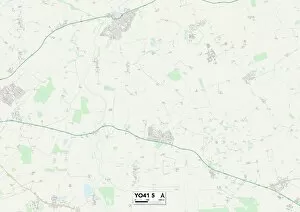
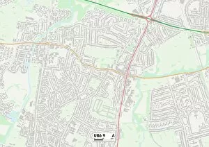
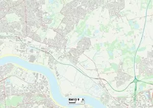
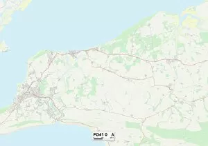
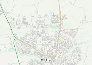
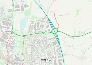
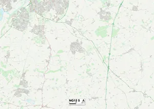
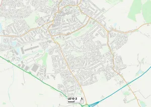
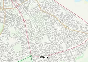
Discover the hidden gems of East Close: a diverse tapestry of landscapes and communities across multiple regions. From the picturesque countryside of Wychavon WR9 7 to the bustling streets of Stevenage SG1 1, this region offers something for everyone. Immerse yourself in the rich history and stunning coastal views of Cornwall TR13 8 or explore the charming villages nestled within North Hertfordshire SG4 0. The vibrant neighborhood of Ealing W5 3 beckons with its cultural diversity and thriving arts scene, while Wakefield WF8 3 boasts a blend of modernity and tradition. Uncover York YO41 5's medieval charm as you wander through its ancient streets or indulge in retail therapy at Ealing UB6 9's bustling shopping districts. Havering RM13 9 invites you to experience its tranquil parks and friendly community spirit, while Barnsley S36 8 showcases its industrial heritage alongside breathtaking natural beauty. Escape to the idyllic Isle of Wight PO41 0, where sandy beaches meet rolling hills, or marvel at Fenland PE15 8's serene waterways that wind through picturesque farmland. Each corner holds unique wonders waiting to be explored. Whether you're seeking adventure, relaxation, or simply a change in scenery, East Close promises an unforgettable journey through these enchanting maps.