Fraud Blocker Skip to main content

Ellesmere Road Collection

Ellesmere Road, a name that echoes through different regions of the UK

Background imageEllesmere Road Collection: All Saints Church, Ellesmere Road, Sheffield, c. 1900

All Saints Church, Ellesmere Road, Sheffield, c. 1900
Built in 1868, at a cost of £ 14, 000, by Sir John Brown. Demolished 1977. From an original at Sheffield Libraries: s04254

Background imageEllesmere Road Collection: Sheffield S4 7 Map

Sheffield S4 7 Map
Postcode Sector Map of Sheffield S4 7

Background imageEllesmere Road Collection: Elmbridge KT13 0 Map

Elmbridge KT13 0 Map
Postcode Sector Map of Elmbridge KT13 0

Background imageEllesmere Road Collection: Wigan WN5 9 Map

Wigan WN5 9 Map
Postcode Sector Map of Wigan WN5 9

Background imageEllesmere Road Collection: Mansfield NG19 0 Map

Mansfield NG19 0 Map
Postcode Sector Map of Mansfield NG19 0

Background imageEllesmere Road Collection: North Somerset BS23 4 Map

North Somerset BS23 4 Map
Postcode Sector Map of North Somerset BS23 4

Background imageEllesmere Road Collection: Bolton BL3 3 Map

Bolton BL3 3 Map
Postcode Sector Map of Bolton BL3 3

Background imageEllesmere Road Collection: Warrington WA4 6 Map

Warrington WA4 6 Map
Postcode Sector Map of Warrington WA4 6

Background imageEllesmere Road Collection: Wigan WA3 4 Map

Wigan WA3 4 Map
Postcode Sector Map of Wigan WA3 4

Background imageEllesmere Road Collection: Shropshire SY11 4 Map

Shropshire SY11 4 Map
Postcode Sector Map of Shropshire SY11 4

Background imageEllesmere Road Collection: Shropshire SY12 9 Map

Shropshire SY12 9 Map
Postcode Sector Map of Shropshire SY12 9

Background imageEllesmere Road Collection: Shropshire SY11 3 Map

Shropshire SY11 3 Map
Postcode Sector Map of Shropshire SY11 3

Background imageEllesmere Road Collection: Shropshire SY13 3 Map

Shropshire SY13 3 Map
Postcode Sector Map of Shropshire SY13 3

Background imageEllesmere Road Collection: Torbay TQ1 2 Map

Torbay TQ1 2 Map
Postcode Sector Map of Torbay TQ1 2

Background imageEllesmere Road Collection: Shropshire SY1 3 Map

Shropshire SY1 3 Map
Postcode Sector Map of Shropshire SY1 3

Background imageEllesmere Road Collection: Shropshire SY4 5 Map

Shropshire SY4 5 Map
Postcode Sector Map of Shropshire SY4 5

Background imageEllesmere Road Collection: Shropshire SY4 3 Map

Shropshire SY4 3 Map
Postcode Sector Map of Shropshire SY4 3

Background imageEllesmere Road Collection: Hounslow W4 4 Map

Hounslow W4 4 Map
Postcode Sector Map of Hounslow W4 4

Background imageEllesmere Road Collection: Wigan WN4 9 Map

Wigan WN4 9 Map
Postcode Sector Map of Wigan WN4 9

Background imageEllesmere Road Collection: Cannock Chase WS11 1 Map

Cannock Chase WS11 1 Map
Postcode Sector Map of Cannock Chase WS11 1

Background imageEllesmere Road Collection: Richmond upon Thames TW1 2 Map

Richmond upon Thames TW1 2 Map
Postcode Sector Map of Richmond upon Thames TW1 2

Background imageEllesmere Road Collection: Ealing UB6 9 Map

Ealing UB6 9 Map
Postcode Sector Map of Ealing UB6 9

Background imageEllesmere Road Collection: Trafford WA14 1 Map

Trafford WA14 1 Map
Postcode Sector Map of Trafford WA14 1

Background imageEllesmere Road Collection: Castle Point SS8 0 Map

Castle Point SS8 0 Map
Postcode Sector Map of Castle Point SS8 0

Background imageEllesmere Road Collection: Rochford SS4 3 Map

Rochford SS4 3 Map
Postcode Sector Map of Rochford SS4 3

Background imageEllesmere Road Collection: Stockport SK3 0 Map

Stockport SK3 0 Map
Postcode Sector Map of Stockport SK3 0

Background imageEllesmere Road Collection: South Northamptonshire NN13 6 Map

South Northamptonshire NN13 6 Map
Postcode Sector Map of South Northamptonshire NN13 6

Background imageEllesmere Road Collection: Brent NW10 1 Map

Brent NW10 1 Map
Postcode Sector Map of Brent NW10 1

Background imageEllesmere Road Collection: Oxford OX4 4 Map

Oxford OX4 4 Map
Postcode Sector Map of Oxford OX4 4

Background imageEllesmere Road Collection: Nottingham NG2 7 Map

Nottingham NG2 7 Map
Postcode Sector Map of Nottingham NG2 7

Background imageEllesmere Road Collection: Manchester M21 0 Map

Manchester M21 0 Map
Postcode Sector Map of Manchester M21 0

Background imageEllesmere Road Collection: Salford M30 9 Map

Salford M30 9 Map
Postcode Sector Map of Salford M30 9

Background imageEllesmere Road Collection: Newcastle NE4 8 Map

Newcastle NE4 8 Map
Postcode Sector Map of Newcastle NE4 8

Background imageEllesmere Road Collection: Lancaster LA4 4 Map

Lancaster LA4 4 Map
Postcode Sector Map of Lancaster LA4 4

Background imageEllesmere Road Collection: Conwy LL29 8 Map

Conwy LL29 8 Map
Postcode Sector Map of Conwy LL29 8

Background imageEllesmere Road Collection: Dacorum HP4 2 Map

Dacorum HP4 2 Map
Postcode Sector Map of Dacorum HP4 2

Background imageEllesmere Road Collection: Blackpool FY4 3 Map

Blackpool FY4 3 Map
Postcode Sector Map of Blackpool FY4 3

Background imageEllesmere Road Collection: Tower Hamlets E3 5 Map

Tower Hamlets E3 5 Map
Postcode Sector Map of Tower Hamlets E3 5

Background imageEllesmere Road Collection: Cheshire West and Chester CW9 8 Map

Cheshire West and Chester CW9 8 Map
Postcode Sector Map of Cheshire West and Chester CW9 8

Background imageEllesmere Road Collection: Nuneaton & Bedworth CV12 8 Map

Nuneaton & Bedworth CV12 8 Map
Postcode Sector Map of Nuneaton & Bedworth CV12 8

Background imageEllesmere Road Collection: Flintshire CH7 6 Map

Flintshire CH7 6 Map
Postcode Sector Map of Flintshire CH7 6

Background imageEllesmere Road Collection: Cambridge CB4 2 Map

Cambridge CB4 2 Map
Postcode Sector Map of Cambridge CB4 2

Background imageEllesmere Road Collection: Bristol BS4 5 Map

Bristol BS4 5 Map
Postcode Sector Map of Bristol BS4 5

Background imageEllesmere Road Collection: Birmingham B8 1 Map

Birmingham B8 1 Map
Postcode Sector Map of Birmingham B8 1

Background imageEllesmere Road Collection: Blackburn with Darwen BB3 1 Map

Blackburn with Darwen BB3 1 Map
Postcode Sector Map of Blackburn with Darwen BB3 1


All Professionally Made to Order for Quick Shipping

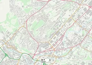
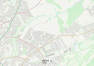
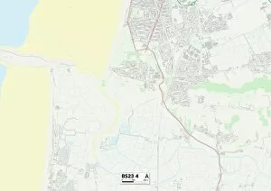
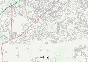
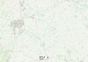
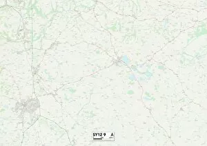
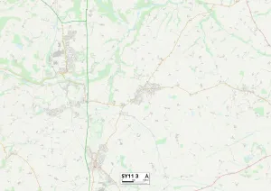
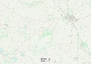
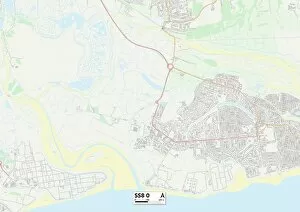
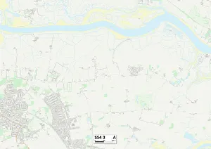
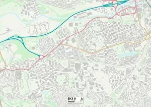
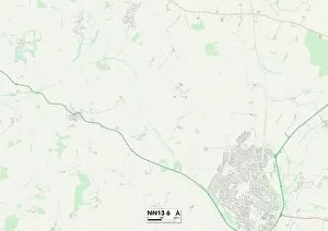
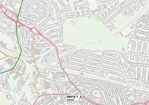
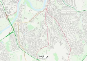
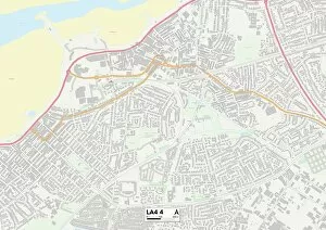
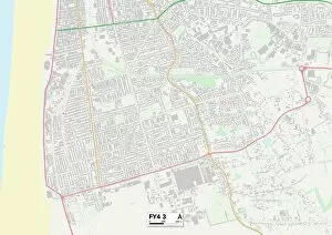
Ellesmere Road, a name that echoes through different regions of the UK. From Sheffield to Mansfield, Elmbridge to North Somerset, Bolton to Warrington and beyond, this road connects communities across the country. In Sheffield's S4 area, Ellesmere Road stands as a testament to history. All Saints Church on this road has witnessed countless moments of faith since its construction around 1900. Its grandeur and architectural beauty have captivated generations. Moving further south, we find ourselves in Mansfield's NG19 district. Ellesmere Road here intertwines with other streets like a lifeline connecting neighbors. The map reveals how it winds through the town, guiding residents towards their destinations. Traveling southwest brings us to Elmbridge in KT13 territory. Here, Ellesmere Road is an artery pulsating with life as people go about their daily routines. The map shows its proximity to various landmarks and amenities that enrich the lives of those who call this place home. Venturing westward takes us to North Somerset's BS23 region where Ellesmere Road stretches out like an open invitation for exploration. This coastal area offers breathtaking views and tranquil escapes just a stone's throw away from bustling city life. Heading northwards leads us to Bolton's BL3 district where Ellesmere Road intersects with other roads forming a network of connectivity for residents and visitors alike. The map showcases how it links neighborhoods together while providing access to essential services and recreational spaces. Further up north lies Warrington in WA4 territory; here too, Ellesmere Road plays its role as a vital thoroughfare connecting communities within this vibrant town center depicted on the map. Continuing our journey northwest brings us into Wigan's WA3 and WN5 areas where Ellesmere Road meanders amidst residential neighborhoods filled with families creating memories along its path shown on these maps.