Fraud Blocker Skip to main content

Farm Close Collection

Discover the charm of farm life at Farm Close

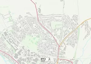
Background imageFarm Close Collection: Tamworth B79 8 Map

Tamworth B79 8 Map
Postcode Sector Map of Tamworth B79 8

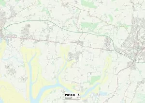
Background imageFarm Close Collection: Sussex PO18 8 Map

Sussex PO18 8 Map
Postcode Sector Map of Sussex PO18 8

Background imageFarm Close Collection: Solihull B92 9 Map

Solihull B92 9 Map
Postcode Sector Map of Solihull B92 9

Background imageFarm Close Collection: Cannock Chase WS15 2 Map

Cannock Chase WS15 2 Map
Postcode Sector Map of Cannock Chase WS15 2

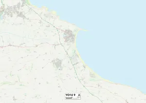
Background imageFarm Close Collection: North Yorkshire YO14 9 Map

North Yorkshire YO14 9 Map
Postcode Sector Map of North Yorkshire YO14 9

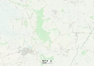
Background imageFarm Close Collection: South Somerset TA11 6 Map

South Somerset TA11 6 Map
Postcode Sector Map of South Somerset TA11 6

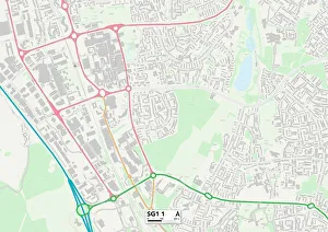
Background imageFarm Close Collection: Stevenage SG1 1 Map

Stevenage SG1 1 Map
Postcode Sector Map of Stevenage SG1 1

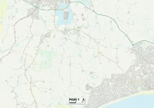
Background imageFarm Close Collection: Sussex PO20 1 Map

Sussex PO20 1 Map
Postcode Sector Map of Sussex PO20 1

Background imageFarm Close Collection: Nottingham NG11 8 Map

Nottingham NG11 8 Map
Postcode Sector Map of Nottingham NG11 8

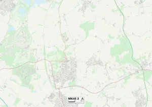
Background imageFarm Close Collection: Bedford MK45 2 Map

Bedford MK45 2 Map
Postcode Sector Map of Bedford MK45 2

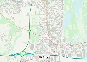
Background imageFarm Close Collection: Enfield EN8 8 Map

Enfield EN8 8 Map
Postcode Sector Map of Enfield EN8 8

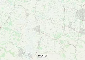
Background imageFarm Close Collection: Horsham BN5 9 Map

Horsham BN5 9 Map
Postcode Sector Map of Horsham BN5 9

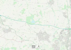
Background imageFarm Close Collection: Wolverhampton WV8 1 Map

Wolverhampton WV8 1 Map
Postcode Sector Map of Wolverhampton WV8 1

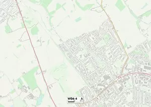
Background imageFarm Close Collection: Hertsmere WD6 4 Map

Hertsmere WD6 4 Map
Postcode Sector Map of Hertsmere WD6 4

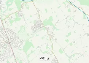
Background imageFarm Close Collection: Hertsmere WD7 9 Map

Hertsmere WD7 9 Map
Postcode Sector Map of Hertsmere WD7 9

Background imageFarm Close Collection: Worcester WR3 8 Map

Worcester WR3 8 Map
Postcode Sector Map of Worcester WR3 8

Background imageFarm Close Collection: Ashford TN23 5 Map

Ashford TN23 5 Map
Postcode Sector Map of Ashford TN23 5

Background imageFarm Close Collection: Runnymede TW20 8 Map

Runnymede TW20 8 Map
Postcode Sector Map of Runnymede TW20 8

Background imageFarm Close Collection: Spelthorne TW17 9 Map

Spelthorne TW17 9 Map
Postcode Sector Map of Spelthorne TW17 9

Background imageFarm Close Collection: Ealing UB1 3 Map

Ealing UB1 3 Map
Postcode Sector Map of Ealing UB1 3

Background imageFarm Close Collection: Spelthorne TW18 3 Map

Spelthorne TW18 3 Map
Postcode Sector Map of Spelthorne TW18 3

Background imageFarm Close Collection: New Forest SO40 2 Map

New Forest SO40 2 Map
Postcode Sector Map of New Forest SO40 2

Background imageFarm Close Collection: Eastleigh SO31 4 Map

Eastleigh SO31 4 Map
Postcode Sector Map of Eastleigh SO31 4

Background imageFarm Close Collection: Sutton SM6 9 Map

Sutton SM6 9 Map
Postcode Sector Map of Sutton SM6 9

Background imageFarm Close Collection: Sutton SM2 5 Map

Sutton SM2 5 Map
Postcode Sector Map of Sutton SM2 5

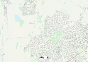
Background imageFarm Close Collection: North Hertfordshire SG6 4 Map

North Hertfordshire SG6 4 Map
Postcode Sector Map of North Hertfordshire SG6 4

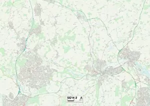
Background imageFarm Close Collection: Hertfordshire SG14 2 Map

Hertfordshire SG14 2 Map
Postcode Sector Map of Hertfordshire SG14 2

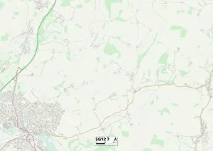
Background imageFarm Close Collection: East Hertfordshire SG12 7 Map

East Hertfordshire SG12 7 Map
Postcode Sector Map of East Hertfordshire SG12 7

Background imageFarm Close Collection: Cannock Chase WS12 2 Map

Cannock Chase WS12 2 Map
Postcode Sector Map of Cannock Chase WS12 2

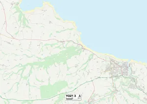
Background imageFarm Close Collection: North Yorkshire YO21 3 Map

North Yorkshire YO21 3 Map
Postcode Sector Map of North Yorkshire YO21 3

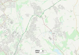
Background imageFarm Close Collection: Barnsley S72 8 Map

Barnsley S72 8 Map
Postcode Sector Map of Barnsley S72 8

Background imageFarm Close Collection: Barnsley S71 2 Map

Barnsley S71 2 Map
Postcode Sector Map of Barnsley S71 2

Background imageFarm Close Collection: North East Derbyshire S18 3 Map

North East Derbyshire S18 3 Map
Postcode Sector Map of North East Derbyshire S18 3

Background imageFarm Close Collection: Sheffield S12 3 Map

Sheffield S12 3 Map
Postcode Sector Map of Sheffield S12 3

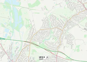
Background imageFarm Close Collection: Hillingdon UB10 8 Map

Hillingdon UB10 8 Map
Postcode Sector Map of Hillingdon UB10 8

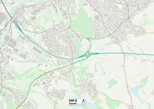
Background imageFarm Close Collection: Rotherham S60 5 Map

Rotherham S60 5 Map
Postcode Sector Map of Rotherham S60 5

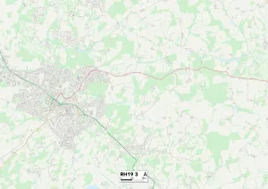
Background imageFarm Close Collection: Mid Sussex RH19 3 Map

Mid Sussex RH19 3 Map
Postcode Sector Map of Mid Sussex RH19 3

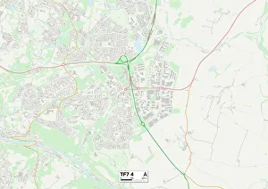
Background imageFarm Close Collection: Telford and Wrekin TF7 4 Map

Telford and Wrekin TF7 4 Map
Postcode Sector Map of Telford and Wrekin TF7 4

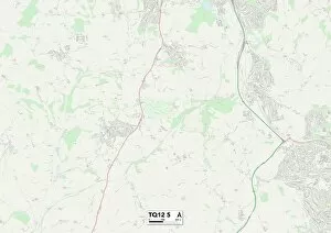
Background imageFarm Close Collection: Teignbridge TQ12 5 Map

Teignbridge TQ12 5 Map
Postcode Sector Map of Teignbridge TQ12 5

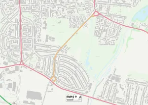
Background imageFarm Close Collection: Barking and Dagenham RM10 9 Map

Barking and Dagenham RM10 9 Map
Postcode Sector Map of Barking and Dagenham RM10 9

Background imageFarm Close Collection: Bracknell Forest RG45 6 Map

Bracknell Forest RG45 6 Map
Postcode Sector Map of Bracknell Forest RG45 6

Background imageFarm Close Collection: Bracknell Forest RG42 1 Map

Bracknell Forest RG42 1 Map
Postcode Sector Map of Bracknell Forest RG42 1

Background imageFarm Close Collection: Chesterfield S40 2 Map

Chesterfield S40 2 Map
Postcode Sector Map of Chesterfield S40 2

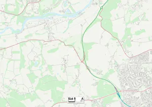
Background imageFarm Close Collection: South Buckinghamshire SL6 5 Map

South Buckinghamshire SL6 5 Map
Postcode Sector Map of South Buckinghamshire SL6 5

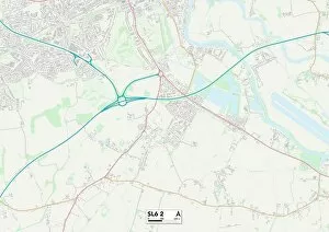
Background imageFarm Close Collection: South Buckinghamshire SL6 2 Map

South Buckinghamshire SL6 2 Map
Postcode Sector Map of South Buckinghamshire SL6 2

Background imageFarm Close Collection: Windsor and Maidenhead SL5 7 Map

Windsor and Maidenhead SL5 7 Map
Postcode Sector Map of Windsor and Maidenhead SL5 7

Background imageFarm Close Collection: South Oxfordshire OX44 7 Map

South Oxfordshire OX44 7 Map
Postcode Sector Map of South Oxfordshire OX44 7

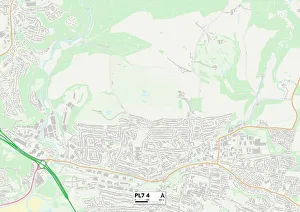
Background imageFarm Close Collection: Plymouth PL7 4 Map

Plymouth PL7 4 Map
Postcode Sector Map of Plymouth PL7 4


All Professionally Made to Order for Quick Shipping

Discover the charm of farm life at Farm Close. 🌾🐄 Located in various picturesque locations across the UK, including Sussex, Tamworth, Solihull, Cannock Chase, North Yorkshire, Stevenage, Bedford, Enfield, Horsham, Wolverhampton and Hertsmere. 🗺️ Escape to the countryside and immerse yourself in the beauty of nature with our stunning farms. Whether you're looking for a peaceful retreat or an educational experience for your family, it has it all. In Sussex (PO18 8 Map), enjoy breathtaking views as you stroll through lush green fields and interact with friendly farm animals. Let your children's imaginations run wild as they learn about sustainable farming practices. Tamworth (B79 8 Map) offers a unique opportunity to witness traditional farming techniques firsthand. Get hands-on experience milking cows or collecting fresh eggs from happy hens - an unforgettable adventure for all ages. Solihull (B92 9 Map) boasts rolling hills and idyllic landscapes that will transport you into a world of tranquility. Take part in seasonal activities like fruit picking or pumpkin carving while creating lasting memories with loved ones. Cannock Chase (WS15 2 Map) is perfect for those seeking outdoor adventures. Explore vast woodland areas on horseback or embark on scenic hikes through enchanting forests - an ideal destination for nature enthusiasts. North Yorkshire (YO14 9 Map) presents a charming blend of rustic beauty and agricultural heritage. Experience life on a working farm by assisting farmers during daily chores or simply relish in the serenity surrounding you. Stevenage (SG1 1 Map) offers urban dwellers a chance to escape city life without venturing too far away. Discover organic produce markets where you can indulge in locally sourced delicacies while supporting local farmers.