
Grid Collection (page 100)
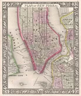
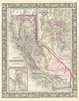
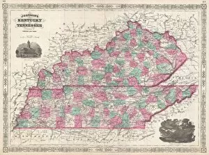
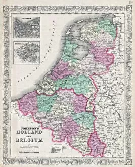
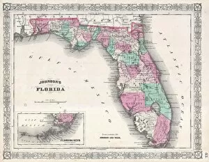
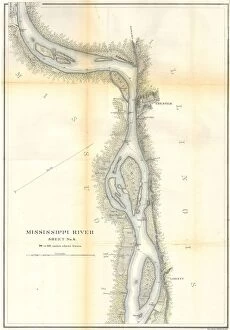
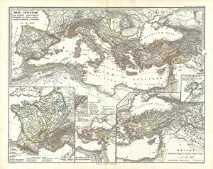
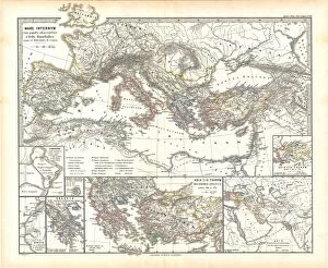
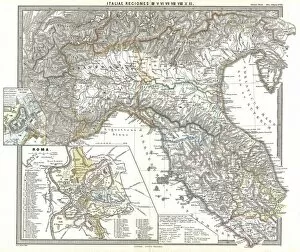
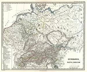
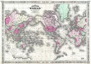
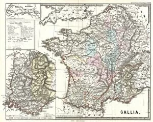
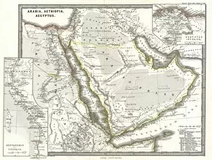
"Unveiling the Intricate Patterns: Exploring the Fascinating World of Grids" From the meticulously crafted 1768 James Craig Map of New Town, Edinburgh


All Professionally Made to Order for Quick Shipping
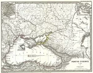
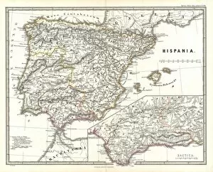
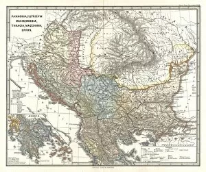
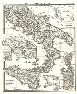
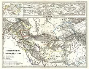
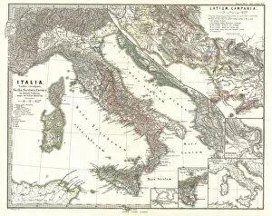
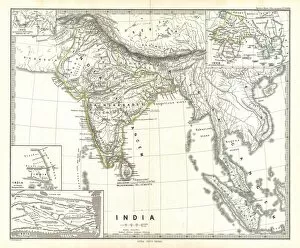
"Unveiling the Intricate Patterns: Exploring the Fascinating World of Grids" From the meticulously crafted 1768 James Craig Map of New Town, Edinburgh, Scotland to the captivating First Plan of New Town, showcasing a symmetrical urban grid that revolutionized city planning - grids have left an indelible mark on our landscapes. Traveling across time and space, we encounter the Map of the City of Dublin in 1797, revealing a web-like network connecting streets and buildings. The iconic Battersea Power Station stands tall amidst this intricate grid, symbolizing both industrial might and architectural grandeur. Zooming into speed and adrenaline-fueled moments, we witness the Monaco Grand Prix in 1969 where sleek racing cars navigate through a labyrinthine street circuit. Meanwhile, London's Roman Period map showcases an early blueprint for organization as it intertwines with history. The legendary 1966 Le Mans race unfolds within its own gridded realm; tire tracks crisscrossing over miles of asphalt while drivers battle against time. Delving further back in time to ancient Greece with Delisle's 1794 map reveals how even Greek Isles and Crete were charted with precision upon a backdrop defined by topography. Innovation takes center stage as electricity pylons stretch across vast landscapes like modern-day giants conducting energy along National Grid lines. These towering structures become ethereal when shrouded in mist - their presence evoking mystery and intrigue. Beyond earthly realms lies St Laurence of Rome gazing at celestial wonders from his heavenly perch. And who could forget Germany's Avus circuit hosting the German Grand Prix in August 1959? Its straight-line design challenges racers' skills while adhering to an invisible grid guiding them towards victory. Finally, we explore lunar cartography through an enchanting telescopic view from 1886 - every crater etched onto its surface forming an intricate pattern akin to a celestial grid.